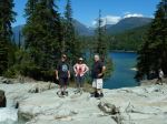
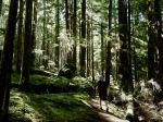
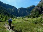
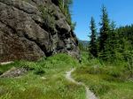
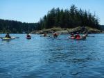
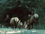
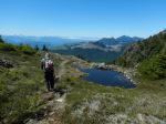
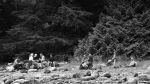
A large group of 11 hikers (including 1 guest and 1 new member) undertook our “annual” midsummer trek to Newton Lake, Small Inlet, and Waiatt Bay. It was a cooler day after some rainy days, but a swim was still happily anticipated by some. After regrouping and adjusting the pace at the Small Inlet Park Boundary, we had a soggy go through the thick patches of salal, thanks to recent rain, and then arrived at Newton Lake for a short rest.
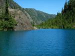
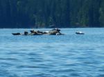
Our long line of hikers became longer as we descended the switchbacks down the steep slope to Small Inlet. We walked out onto the mudflat and shortly realized that we were in one of the inlet’s many clam gardens. The tide seemed exceptionally low and revealed the long arc of piled boulders that enclosed the clam bed.
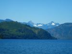
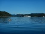
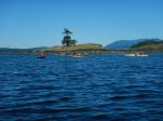
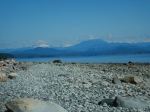
A few minutes later we crossed the mudflat to the Waiatt Bay trail head, stopped to marvel at the freshwater spring a few strides later and then made the short hop to Waiatt Bay. By this point we had only met up with a few pairs of hikers coming from the anchorage. At the bay on Quadra’s east coast, dozens of “yachts” were visible. Perhaps the very big tide flat was discouraging them from coming ashore?
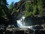
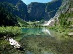
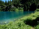
After a leisurely lunch the group was again on the move and ready to tackle the uphill leg back to Newton Lake. We ascended slowly, and with it being a cooler, overcast day, everyone arrived at the top in good shape. Arriving at the lake with a light rain shower starting made a dip in Newton Lake’s inviting waters even less appealing. So, after a brief rest, we tackled the final leg of this classic hike. (12.8 km; 5 hours 48 min)
Vic
Thanks to Carl and Norris for the photos
(Click to enlarge)
-
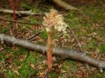
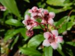
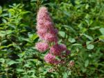
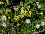
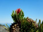
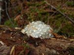
- Pinesap
-
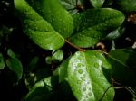
- Salal leaves
-
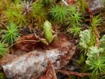
- Tiny tree frog
-
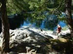
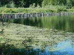
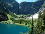
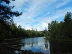
- Reflections in Newton Lake

-

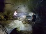
- Arriving at Newton Lake
-

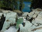
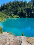
- At the swim rock
-
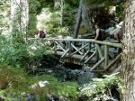
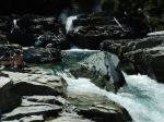
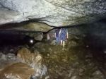
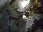
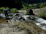
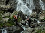
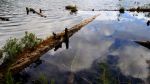
- Sketchy crossing at the outlet
-
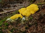
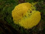
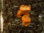
- Dog-vomit slime mold
-
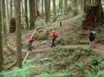
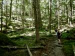
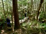
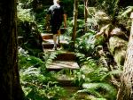
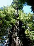
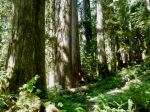
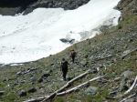
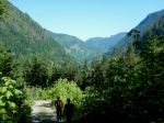
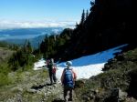
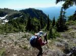
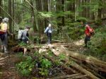
- Hiking down the hill
-
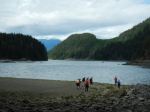
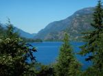
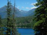
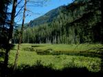
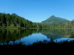
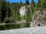
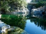
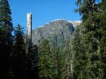
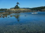
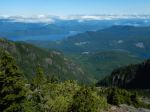
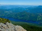
- Small Inlet
-
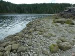
- Clam garden wall
-

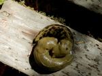
- Mottled star
-
- Fungal guttation
-
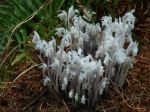
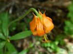
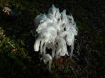
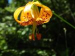
- Ghost pipes
-

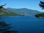
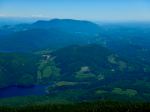
- Waiatt Bay
-
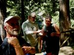
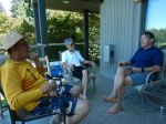
- Lunch Break
-
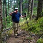
- Hiking back up the hill
-
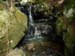
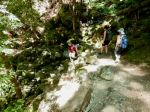
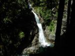
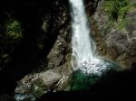
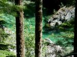
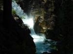
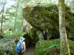
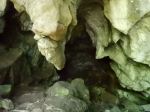
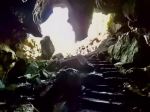
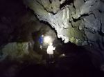
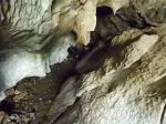
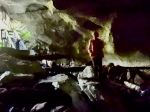
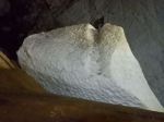
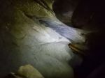
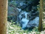
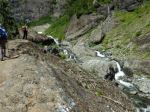
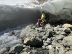
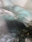
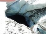
- Waterfall grotto