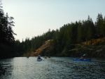
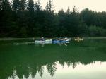
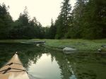
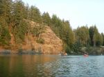
| Activity | Kayaking |
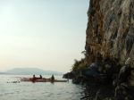
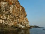
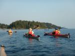
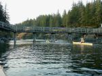
| Destination | Granite Bay/ Kanish Bay/ Small Inlet |
| Date | 22 Aug, Thursday |
| Trip Coordinator | Vic Gladish |
| Contact Info | vicgladish@gmail.com; 250-287-0459 |
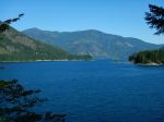
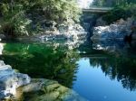
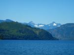
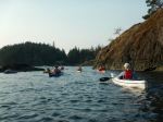
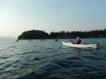
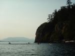
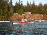
| Description | Paddle into Kanish Bay and/or into Small Inlet. About 4 to 5 hours depending on what we decide to do. Bring a lunch. |
| Meeting Place | Granite Bay boat launch |
| Departure Time | Meet at 8:45; on the water by 9:15 |
| Difficulty |
Easy to moderate depending on the weather. |
| Costs | Launch fee – $5.00 |
| Trip limits | 8 |
| Dogs? | No |
| Notes: | The tide will be very low in the middle of the day. Be sure to read our paddling guidelines and make sure you are properly outfitted. |
Trip Report – Quathiaski Cove – 9 Aug 2024
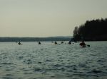
Ten members of the Club gathered at the Quathiaski Cove boat launch at 1830 on a beautiful summer evening. Eight paddlers launched their kayaks and we left two onshore as they had no paddles!
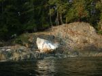
On calm seas we set out on a flood tide for the green blinker by the seal rocks near Grouse Island. As the currents and very light wind presented no concerns we paddled out of the Cove and along the length of Grouse Is. and then across the gap to the north shore of Q Cove. The Discovery Passage currents were pretty benign so we continued on to the cliff to view the now deserted Guillemot (a small jet-black seabird) colony and its “whitewashed” rockface. As we turned to the south, we could feel the tide carrying us in that direction and we headed back into the Cove, over a boulder field, under the watchful eye of the local eagles.
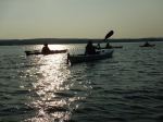
With the sun getting lower in the smoky skies, the golden hour was upon us as we rounded the corner into Unkak Cove and paddled its very shallow waters. The many crabs and small fishes (sculpins?) scurrying along the bottom were just a foot or two below us. The rising tide allowed us to get very close to the end of the cove where we turned 180 and headed south once again.
We left Unkak Cove and paddled past the numerous docks and buildings adjacent to the old ferry landing and then crossed back over to Grouse Island amidst the raucous screeching of an eagle family with recently fledged eaglets. After viewing the all but abandoned residence and its dilapidated sign it was time to head to the take out. With the red ball of sun at our backs and a beautifully lit Cove ahead we cruised in to the boat launch mere minutes before a stunning sunset. (2.9 NM, 1.75 hours)
This idyllic summer evening paddle ended with a social hour with snacks and beverages and friendly conversation around a propane campfire at the Gladish residence.
Wildlife: Eagles, Oystercatchers, Kingfisher, Great Blue Heron, Crows, Harlequin Ducks, Harbour Seals
Vic
Thanks to Vic and Norris for the photos.
(Click on photos to enlarge)
- Paddling out
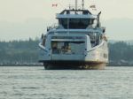
- The ferry arriving
- Looking in to QCove
- The north bluff
- Entering Unkak Cove
- Calm and shallow
- Re-entering QCove
- Back at the boat launch
Social Picnic – Open Bay – 30 August 2024
| Activity | Social Picnic |
| Destination | Big Beach, Open Bay |
| Date | 30 Aug, Friday |
| Trip Coordinator | Valerie van Veen |
| Contact Info | vvv@qisland.ca, 778 242 5774 (cell) |
| Description | End of summer sunset social, bring your picnic dinner, beach blanket, join the seals and eagles of Open Bay to celebrate a great summer season for QIOC. No campfires, but marshmallows do toast quite well over a portable camp stove. We will meet at parking area end of Marina, then schlep down the trail to the beach. Swimsuit and towel for the keeners. Note..may need to wade across the small stream. |
| Meeting Place | End of Marina Rd, Open Bay |
| Departure Time | 5 pm |
| Difficulty | Easy, but short steep path down to beach |
| Costs | None |
| Trip limits | None |
| Dogs? | No |
| Notes: | Sunset at 8 pm Aug 30. Trip cancelled if rain, windy, cold. I will notify all registered participants by 10 am Friday morning if cancelled. Thursday Aug 29 8 pm sign-up deadline. |
Trip Report – Thomspon-Hopespring Trail Loop – 7 Aug 2024
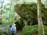
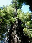
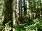
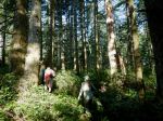
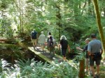
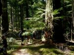
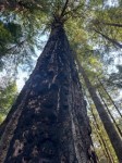
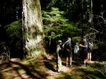
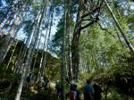
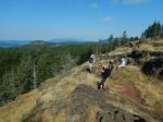
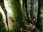
Eleven hikers, including five guests, started on a morning hike from the end of Thompson Road. It was a beautiful sunny day although warm and a bit smoky already. We continued on past the Gowlland Harbour Trail and turned onto the small trail down into the creek valley with the group of old growth trees. This is a stunning area with some very beautiful majestic, old growth-trees. We then went back to the Hopespring trail and onward to the Three Sisters which are some of the largest old-growth Douglas firs on Quadra. A little way down the trail we turned off again to view another group of nineteen old growth trees. Back on the trail we climbed up to the Heriot Ridge Trail and proceeded to the bench to have lunch and enjoy the view. Afterwards we hiked down to the end of Hopespring and walked the road back to our vehicles. (6.1km, 3 hours).
- In the old growth grove
- Big, old Douglas fir
- Lunch at the Heriot Ridge viewpoint
- Happy hikers
Hiking – Deadfish-Tripod Loop – 26 Aug 2024
This hike has been re-scheduled to August 28, Wednesday!
| Activity | Hiking |
| Destination | Deadfish-Tripod Loop |
| Date | 28 August, Wednesday |
| Trip Coordinator | Nicole and Louise |
| Contact Info | Nicole: email quadranick@gmail.com or Louise: text 306-539-3813 |
| Description | The hike will start at Morte Lake parking lot, making a big loop on biking/hiking trails south of Morte Lake. We will ascend Morning Beer and Nirvana trails, then west along south Morte Lake. Turning back on Tripod, Ridge trail and Lost Rider, we return by Deadfish to the parking lot. Duration should be about 2 hours (3 hours max). |
| Meeting Place | Meet at the Morte Lake trail head |
| Departure Time | 10:00 |
| Difficulty |
Moderate |
| Costs | none |
| Trip limits | 10 |
| Dogs? | No |
| Notes |
Happy Hour Paddle – Quathiaski Cove – 9 August 2024
| Activity | Happy Hour Paddle |
| Destination | Quathiaski Cove |
| Date | 9 Aug, Friday |
| Trip Coordinator | Vic Gladish |
| Contact Info | vicgladish@gmail.com; 250-287-0459 |
| Description | This will be an easy, evening paddle to explore the nooks and crannies of Q Cove and Unkak Cove. It will be about a 90-minute paddle as the tide rises and the sun sets. The happy hour part will follow at the Gladish residence at 590 Green Rd. Bring a post paddle snack and a favourite beverage. Don’t bring a chair as we have plenty around our imaginary campfire. |
| Meeting Place | Quathiaski Cove harbour/ boat launch |
| Departure Time | 1830 |
| Difficulty | Easy |
| Costs | Parking and launching. Bring 4 toonies. |
| Trip limits | 8 |
| Dogs? | No |
| Notes: | This will be a chance to check out your paddling gear in preparation for our two night Kanish Bay trip. Have an early dinner and be ready to paddle. Looks like the heat wave will still be here. |
Trip Report – Eagle Crag Loop – 31 July 2024
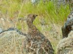
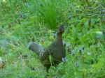
Five of us hiked the trail to Eagle Crag, then the steep path to the top of the bluff. Here we rested, had a bite to eat, and enjoyed the fantastic view. There were clouds over the Vancouver Island mountains, but other than that the visibility was very good, especially considering how much fire smoke there is elsewhere. We enjoyed the perfect temperature, the sunshine, and the gentle breeze for quite a while. We were visited by a hummingbird and a grouse.
After that, we continued up an old path, originally for climbing access to a higher bluff, surprising a garter snake. At the top of this path, we again sat and enjoyed the beautiful day. Then we took the trail down from Beech’s Mountain, back to the vehicles. (4.9 km; 3.5 hours)
Norris
(Click to enlarge)
- Looking west from Eagle Crag
- View soustheast
- Rebecca Spit
- Female Sooty Grouse
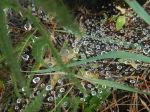
- Dew on spiderweb
Trip Report – Newton Lake, Small Inlet and Waiatt Bay – 24 July 2024
A large group of 11 hikers (including 1 guest and 1 new member) undertook our “annual” midsummer trek to Newton Lake, Small Inlet, and Waiatt Bay. It was a cooler day after some rainy days, but a swim was still happily anticipated by some. After regrouping and adjusting the pace at the Small Inlet Park Boundary, we had a soggy go through the thick patches of salal, thanks to recent rain, and then arrived at Newton Lake for a short rest.
Our long line of hikers became longer as we descended the switchbacks down the steep slope to Small Inlet. We walked out onto the mudflat and shortly realized that we were in one of the inlet’s many clam gardens. The tide seemed exceptionally low and revealed the long arc of piled boulders that enclosed the clam bed.
A few minutes later we crossed the mudflat to the Waiatt Bay trail head, stopped to marvel at the freshwater spring a few strides later and then made the short hop to Waiatt Bay. By this point we had only met up with a few pairs of hikers coming from the anchorage. At the bay on Quadra’s east coast, dozens of “yachts” were visible. Perhaps the very big tide flat was discouraging them from coming ashore?
After a leisurely lunch the group was again on the move and ready to tackle the uphill leg back to Newton Lake. We ascended slowly, and with it being a cooler, overcast day, everyone arrived at the top in good shape. Arriving at the lake with a light rain shower starting made a dip in Newton Lake’s inviting waters even less appealing. So, after a brief rest, we tackled the final leg of this classic hike. (12.8 km; 5 hours 48 min)
Vic
Thanks to Carl and Norris for the photos
(Click to enlarge)
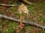
- Pinesap
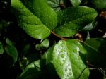
- Salal leaves
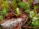
- Tiny tree frog
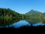
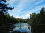
- Reflections in Newton Lake
- Arriving at Newton Lake
- At the swim rock
- Sketchy crossing at the outlet
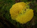
- Dog-vomit slime mold
- Hiking down the hill
- Small Inlet
- Clam garden wall
- Mottled star
- Fungal guttation
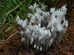
- Ghost pipes
- Waiatt Bay
- Lunch Break
- Hiking back up the hill
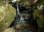
- Waterfall grotto
Trip Report – Gold River Area – 15-17 July 2024
Day 1: There were six of us for the hikes to the Upper and Lower Myra Falls in Strathcona Provincial Park. We had a beautiful, but very warm day, and enjoyed the drive out along the Upper Campbell and Buttle Lakes. We started hiking at 11:30 and made our way along the well maintained trail through a mature forest and occasionally large boulders, arriving at the Upper Falls within an hour. The falls had lots of water pouring through. We had lunch near the end of the trail and then headed back down. (7.4 km; 1.5 hours; 220m elevation gain)
(Click on photos to enlarge)
- Upper Campbell Lake
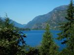
- Trail to Upper Myra Falls
- Pink Wintergreen
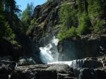
- Upper Myra Falls
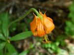
- Columbia Lily
- Dog-vomit slime mold
- Myra Creek
We drove a short way to the Lower Myra Falls parking area. The hot weather made this a popular and busy destination. We walked down to the viewpoint and then out to the falls. While we had seen no one on the Upper Falls trail, there were lots of people here. These falls are more accessible and very beautiful, but completely different from the upper falls, with a series of smaller cascades and wide open rocks to get close to the water. We left without swimming. (1.4 km; 0.75 hours; 60m elevation gain)
- Lower Myra Falls from the viewpoint
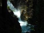
- View across Buttle Lake
Four of us continued on to Gold River and set up camp at three neighbouring sites along the Gold River. It was lovely, shaded and peaceful.
Day 2: We had an intentionally leisurely start and some of us explored the trails from the campground along the river in the early morning. We began hiking around Antler Lake shortly after 10:00 on an even hotter day than Monday. This well-constructed trail has quite a lot of variety with lake views, boulder fields, quirky trail decorations and truly impressive old growth trees. We took our time to appreciate all that it had to offer. (4.3 km; 1.75 hours; 100m)
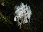
- Ghost pipes
- The Gold River
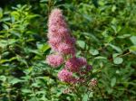
- Douglas spirea
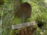
- Trail marker
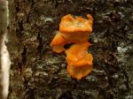
- Orange tree fungus
- Antler Lake wetlands
- Zoe’s bench
- Big Douglas fir
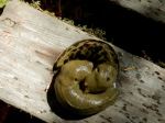
- Slug cuddle
- Antler Lake
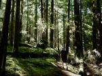
- Old-growth trees
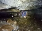
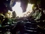
We had lunch at a picnic area by Antler Lake and then drove out to the Upana Caves stopping at the Cala Creek Falls for the view. There are fives caves in the Upana Cave system. The trails between them are quite short. The maps are very interesting, but not always easy to visualize once you are in the cave. We visited all the caves, but did not have the enthusiasm for slithering in the mud or getting very wet. We missed some of the loops in the caves inadvertently. (0.8 km; 1.75 hours) It was 33° C on the drive back to Gold River and we were happy for our shaded campsites. There was some exploration to a swimming area on the Gold River in Peppercorn Park, used by locals.
- Main Cave
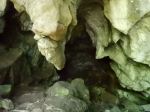
- Corner Cave
- Resurgence Cave
- Swimming beach on the Gold Rvier
Day 3 – We mostly headed home, but three of us hiked the short walk from the Gold River bridge to the junction with the Heber River and up along the Heber Gorge, which is quite impressive. The trail is unmaintained, but has a chainlink fence along much of the way where the trail is narrow and exposed. (2.9 km; 1.25 hours; 85m elevation gain) On the way home we stopped for photos on the Upper Campbell Lake and for lunch at the Echo Lake Rec Site.
- Heber River
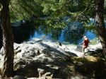
- Heber River Gorge
- Elkhorn and King Peaks
- Old trestle at Echo Lake Rec site
There was at least one new area to explore for everyone that came on this trip. The weather was photogenic, if hot, and there was great variety with the varied falls, the lakes, beautiful forests and fascinating caves. There is lots to explore near to us on Vancouver Island.
Debbie
Multi-day Hiking, Camping – Gold River area – 15-17 July 2024

Trip Report – Century Sam Lake – 13 July 2024
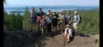
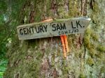
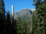
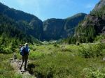
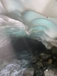
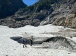
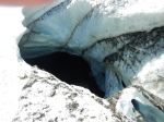
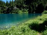
Five of us hiked to the picture postcard called Century Sam Lake. It’s named after a character that Sid Williams played. Must have been quite a character to have a lake like this named after him. We wanted to hike to it when it was in full sunshine, to show off the deep blue-green. The trade off was that it was very hot. But the crowd that was there was fully into swimming and diving off cliffs, so it was perfect weather – cloudless, a bit of breeze. The Lake is located below the Comox Glacier. This contributes to the other attraction of this hike which is the ice cave. It wasn’t as good as on a previous trip, maybe too early in the season, but still very interesting. And the wildflowers were excellent.
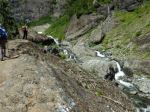
The Lake is in Strathcona Park, but the approach is not. Trail maintenance is ambiguous, but someone had just clipped the aggressive brush, including Devil’s Club, so that was good. The route is rough everywhere and steep in the headwall up to the Lake. The access to this trail is on a logging road through Mosaic lands and the gate is only unlocked on weekends and only when Mosaic is not logging and the fire danger is low. We timed it well, so all was good. (11.3 km; 7.5 hours; 423 m elevation gain)
Norris
Thanks to Louise, Jim and Norris for the photos
(click on photos to view larger)
- The log bridge
- Arriving at the Lake
- The creek crossing
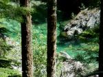
- Century Sam Lake
- Alpine wildflowers
- Another creek crossing
- Peaking into the ice tunnel
- Peaking into the hole in the ice
- Starting back down
- Waling the logging road
- Grouse