| Activity | Hiking |
| Destination | Little Black Dress and Silk Stocking Loop |
| Date | 17 Dec 2025, Wednesday |
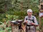
| Trip Coordinator | Louise Squire |
| Contact Info | lsquire@sasktel.net or 306-539-3813 |
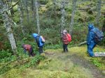
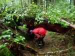
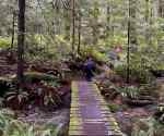
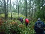
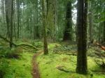
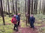
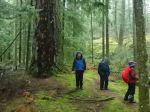
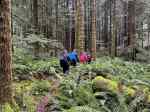
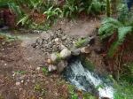
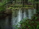
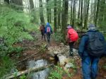
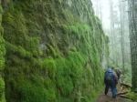
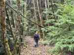
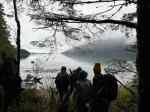
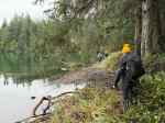
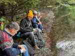
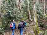
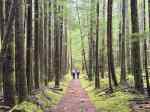
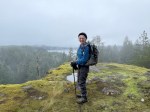
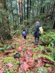
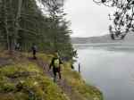
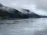
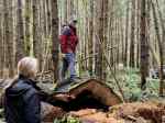
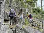
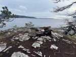
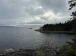
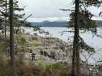
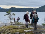
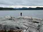
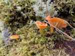
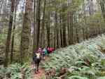
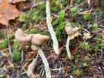
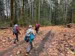
| Description | We will start at the Copperhead logging road and hike this counter-clockwise. We will use mountain bike trails to travel through a variety of terrain with open bluffs, a good forest (and recent logging), old mining and a forest lake. Very roughly 7 km and 3 hours with lunch. |
| Meeting Place | Legion. Please park close to West Rd. |
| Departure Time | 10:00 |
| Difficulty | Moderate, with some steep sections and lots of undulating parts. |
| Costs | None |
| Trip limits | 12 |
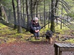
| Dogs? | Yes – on leash |
| Notes | Dress for the weather. Bring lunch and poles if you use them. |
Hiking – Little Black Dress-Silk Stocking Loop – 17 Dec 2025
1