| Activity | Hiking |
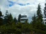
| Destination | Campbell River Lookout (aka Broken Eyes) |
| Date | 27 Aug 2025, Wed |
| Trip Coordinator | Les Hand |
| Contact Info | 250-285-2029 or lhquadra@gmaill.com |
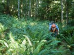
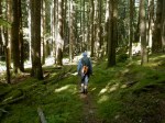
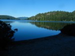
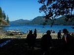
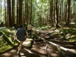
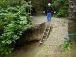
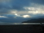
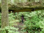
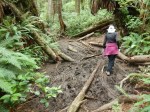
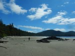
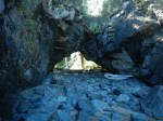
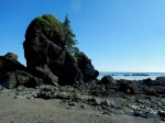
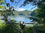
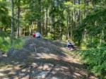
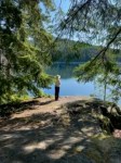
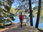
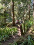
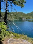
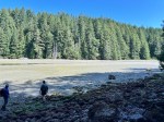
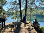
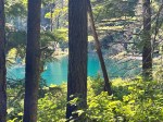
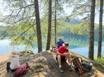
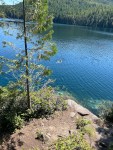
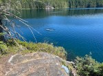
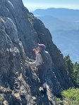
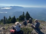
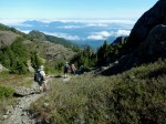
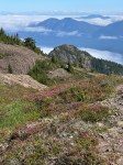
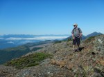
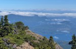
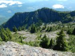
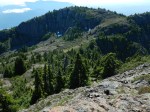
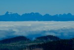
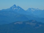
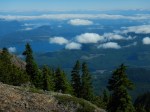
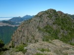
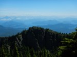
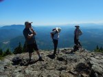
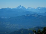
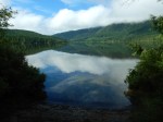
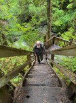
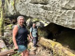
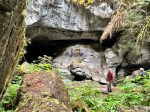
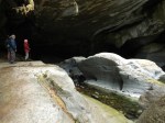
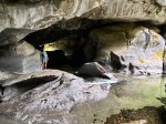
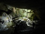
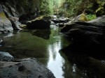
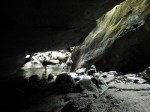
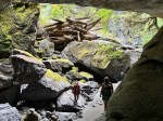
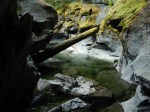
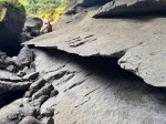
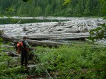
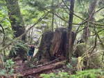
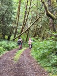
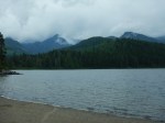
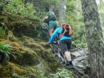
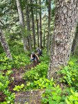
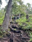
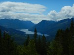
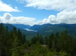
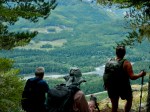
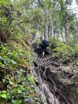
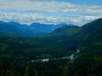
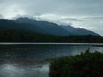
| Description | This hike is located about 20 km north of Campbell River. It includes some difficult sections over a long, narrow log bridge and very steep climbs, sometimes assisted by fixed chains. The creek should be dry enough that you could cross on foot. There are excellent views from the summit. Elevation gain is 500 m; 7 km. For this hike you need to be fit, experienced and confident. You need good cardio and knees. This is a view hike so we need good weather. Be sure and sign up at least two days before in case date is changed. |
| Meeting Place | Q Cove Ferry terminal |
| Departure Time | 8:00 ferry |
| Difficulty |
Challenging |
| Costs | Ferry |
| Trip limits | 8 |
| Dogs? | No |
| Notes: | Be sure and be at the ferry terminal early enough to get on the 8 o’clock. It is summertime busy. You need good footwear for this hike. Also, I would suggest one or two hiking poles; gloves may be helpful on the chains.. Be sure and bring a lunch and lots of water. If anyone wants to carpool sign up early, and I will give you names of who is going, but the responsibility is yours for transportation. |
Hiking – Campbell River Lookout (aka Broken Eyes) – 27 Aug 2025
Reply