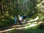
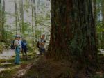
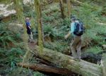
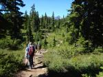
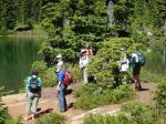
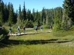
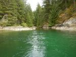
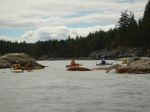
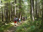
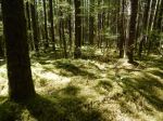
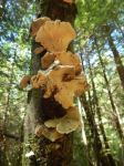
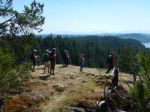
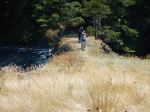
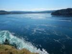
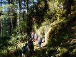
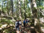
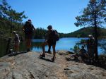
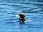
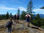
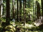
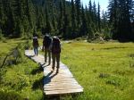
For the effort it takes to get to the top of Mt. Albert Edward, you want to get the reward, the great view. The weather forecast was for hot and sunny. Up until the last moment and then it changed to cloudy and rain, so we moved the trip a few days earlier so we would only have rain on the walk out, with luck. So four of us packed up our backpacks and headed in to Circlet Lake via Helen Mackenzie Lake. It was 34°C in Campbell River that day, but not so hot at the higher elevation we were at. But we went swimming in Circlet Lake when we got there. We got a couple of the tent pads near the lake since we beat the weekend crowds. The next day we got up to clear sky and headed up the mountain a bit after 8:00 to beat the heat. That was the theory anyway, we drank all the water we carried that day and wished we had more. It melted our chocolate. The hike starts with a steep gravel gully, but after that it’s a wonderful hike across sub-alpine meadows and up and along a steady ridge to the summit with great views to both sides. You can see the top of Albert Edward from just about anywhere and so from the top you can see just about everywhere. We had lunch on the summit. There are spectacular mountains all around. Luckily, it was a very clear day and neither we nor they were in clouds. More swimming once back at Circlet Lake. The next day dawned sunny and we put on our backpacks again and hiked out via the string of lakes, pausing to pick and eat blueberries along the way, to Battleship Lake, where we again paused to put our toes in the water. By this time clouds were building up, but the rain held off until the next day when we were home.
In to Circlet Lake 11.1 km, 5 hours, approx 100m elevation gain. Up to Mt. Albert Edward and back 14.7 km, 9¼ hours, approx 900m elevation gain to 2101m. Return via the Lakes 13.0 km, 5½ hours.
Norris
-
-

-
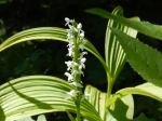
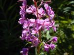
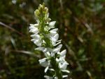
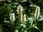
Fringed grass of parnassus
-
-
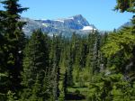
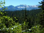
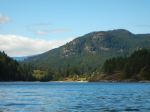
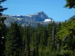
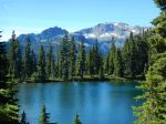
Mt. Albert Edward
-
-
Castle Crag
-
-
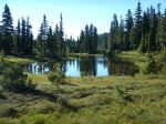
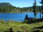
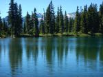
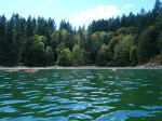
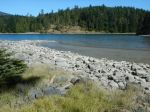
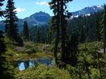
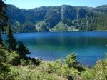
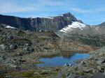
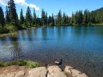
Circlet Lake
-
-
-
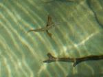
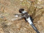
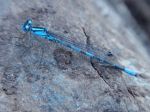
Blue damsel fly
-

-
-
Pink Mountain Heather
-
-
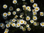
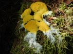
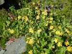
Yellow daisies
-
-
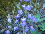
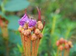
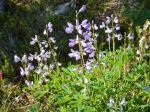
Alpine Lupin
-
-
-
-
Mt. Albert Edward
-
-
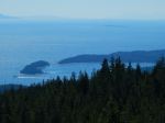
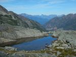
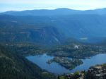
Moat Lake & Cruickshank Canyon
-
-
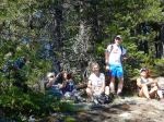
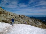
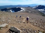
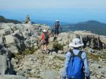
Nearing the summit
-
-
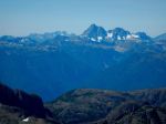
Golden Hinde
-

-
Comox Glacier
-

-
-
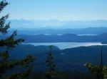
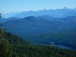
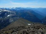
Looking south
-
-
-
-
-
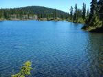
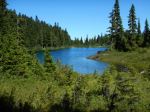
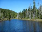
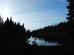
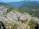
Kwai Lake
-
-
Kwai, Castle Crag, Frink
-

-
Croteau with Mt. Albert Edward
-
-
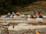
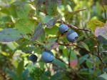
Blueberries!
-
-
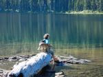
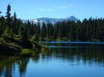
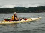
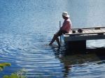
Cooling off at Battleship Lake
(click on photos to view larger)
Backpacking – Mt. Albert Edward – 25-27 Aug 2016