Hiking – Ripple Rock- 16 Sept 2015

 POSTPONED

Activity Hiking
Destination Ripple Rock
Date 16 Sept 2015, Wednesday
Trip Coordinator Valerie van Veen
Contact Info vvv@qisland.ca, 250 285 2329; please contact the coordinator by Monday night.
Description interesting hike to view the other side of the famous site of the Ripple Rock (we see it from Maud Island).
Meeting Place ferry parking lot at 9:30
Departure Time 10 am ferry; meet at  ferry parking lot at 9:30 to carpool
Difficulty
moderate, some steep sections, stairs.
Costs ferry costs shared
Trip limits none
Dogs? on leash and/or under control at all times
Notes: a moderate hike but with some steep sections, and many stairs over previous rock scrambles; possible to do even if light rain; bring  lunch; about 4 hr hike and I hr driving total; expect to return on 4:30 ferry


Hiking – Mt. Seymour – 23 September 2015

 Postponed to October 7 and then postponed again

Activity Hiking
Destination Mt. Seymour
Date 23 September 2015, Wednesday
Trip Coordinator Julie Mellanby
Contact Info 285-3978; please contact the coordinator in advance of the trip.
Description This is a great hike with wonderful views on a clear day.  It’s a steady climb up old logging roads, until the trail branches off and follows open bluffs and forest to the summit at 620 m, the highest point on Quadra Island. We will then descend by the same route.  Four to five hours.
Meeting Place Heriot Bay Store for car pooling
Departure Time 9:30
Difficulty
moderate
Costs none
Trip limits none
Dogs?
Notes: Bring lunch


Trip Report – Far West Wall – 5 Sept 2015

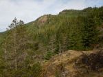
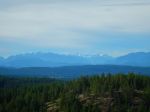
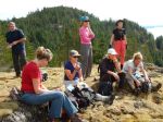
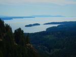
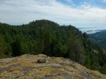
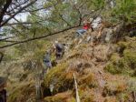
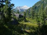
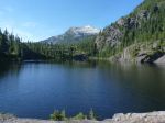
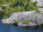
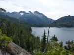
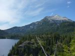
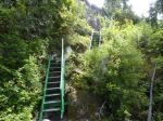
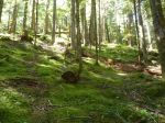
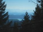
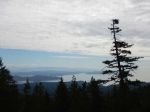
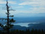
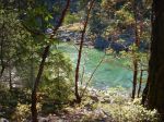
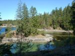
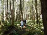
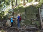
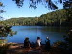
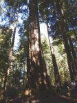
The Chinese Mountains have recently become a popular climbing area.  On the down side, the trailhead parking lot is now often full (there are plans to fix the road into it and expand the parking lot), but on the plus side, there are new trails to explore and new viewpoints opened up.   On this trip, ten of us explored the path to what was called “Far West Wall” last year.  The new name is “Eagle Crag” because some climbers found an eagle’s nest on it.  The trip is short, only 4.4 km round trip, half on official trails and half on the new path.  And there is a section about 200 meters long where it is easy scrambling and not walking, where the path goes up a series of small ledges to reach the top of the crag.  There is about 200 metres elevation gain in total.  The view from the top of the crag goes from Morte Lake and Little Morte Lake, about 180 degrees to the south end of Cortes Island.  The view from the bottom of the crag is pretty good too.

For climbers, the guide book to this area is Philip Stone’s “Quadra Island Rock Climbs”,
http://www.wildisle.ca/quadrarockclimbs/

There are also some maps and photos online which show the climbing areas and the access paths to them.
http://www.quadraisland.ca/adventure-recreation-tours/rock-climbing/chinese-mountains.html

Norris

(click on photos to view larger)

Hiking – Far West Wall – 2 Sept 2015

Kayaking – Open Bay & Hoskyn Channel – 12 Sept 2015

 CANCELLED DUE TO WEATHER

Activity Kayaking
Destination Open Bay and Hoskyn Channel
Date 12 September 2015, Saturday
Trip Coordinator Valerie van Veen
Contact Info vvv@qisland.ca, 250 285 2329;
Please contact the coordinator not later than Thursday.
Description Paddle to explore the islands/islets in Hoskyn Channel: the Bretons and King Islets
Meeting Place End of Breton Road, Open Bay to determine which launch site to use, alt is end of Valdez
Departure Time Meet at 10:00 am
Difficulty
Easy to moderate, depending on wind/weather. Go/nogo will be made after 4:30pm marine forecast on Sept 11.
Costs none
Trip limits none
Dogs? no
Notes: Plan to be back at launch by 4 pm at latest. Bring lunch, snacks. Lunch might be early on in trip due to lack of beaches beyond the Bretons

Hiking – Elk Falls – 30 Sept 2015

Activity Hiking
Destination Elk Falls and Campbell River
Date 30 Sept 2015, Wednesday
Trip Coordinator Emily Toman
Contact Info emitoman@shaw.ca or 250-923-7122; please contact the coordinator in advance of the trip
Description We will take the 9:00 ferry to Campbell River.   It’s possible to do a loop around the Campbell River and Elk Falls, including the new suspension bridge and the upper falls.  This hike includes some great views and sections of old growth forest.   It’s about 12 km round trip with some steep sections.  The trail has a very good surface.
Meeting Place Quadra ferry terminal to Campbell River.  Car pools should be arranged in advance.
Departure Time Those taking cars need to be early enough to get on the 9:00 ferry.
Difficulty
easy to moderate
Costs ferry
Trip limits none
Dogs? Okay, but must be on a leash at all times.
Notes: Bring lunch


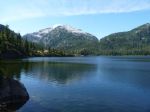
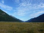
Trip Report – Bedwell Lake & Myra Falls – 25-27 Aug 2015

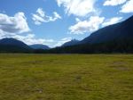
Five energetic souls headed up to Ralph River Campground. Our first night was settling into this very lovely campground and exploring the local area. Ralph River campground is quite a beautiful campground in that it has large private sites with many very large old growth trees. It is also not very busy especially during the week.

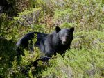
We set out the next morning to do our main hike to Baby Bedwell and beyond. The weather was coolish which was an advantage in our 600 meter elevation gain hike. The trail is man made and quite rough with lots of loose rocks and switchbacks. It passes through many beautiful areas of forest and river crossings before it reaches the sub alpine. We had the joy of sighting a very large black bear having his morning berry pick. He observed us without fear and kept vigilant without stopping his lunch.

We arrived at Baby Bedwell Lake, one of the most beautiful sub alpine areas. A delightful swim and lunch was enjoyed here. Three members of the team carried on to Bedwell Lake campground, a further 2 hour hike. Five tired hikers got back to Ralph River Campground for our usual delightful pot luck dinner. Car camping has its advantages!

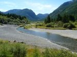
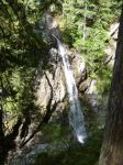
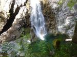
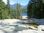
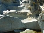
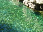
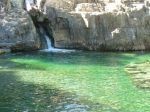
The next day, after a more leisurely start and breaking camp, we headed to Upper Myra Falls. This was a delightful 6 km walk through beautiful old growth forest (once we got through the waste lands of the mine) to Upper Myra Falls which was spectacular with its beautiful aqua blue pools.

The group split at this point, some went exploring Lower Myra Falls, while the others sought out a swimming spot on Buttle Lake. It was a very enjoyable three days spent in a very beautiful area so close to home.

Sheelagh

click on photos to see enlarged

Hiking – Ralph River – 25-27 August 2015

Kayaking – Main Lake Provincial Park – 9 Sept 2015

Activity Kayaking
Destination Main Lake Provincial Park
Date 9 Sept 2015, Wednesday
Trip Coordinator Darcy Mitchell
Contact Info darcm@telus.net or 285-2739.  Please contact Darcy by Monday if you plan to go.
Description A relaxed paddle/picnic/swim/hike at the Lakes
Meeting Place Boat launch, Mine Lake
Departure Time 10:00 am
Difficulty
easy
Costs none
Trip limits none
Dogs? no
Notes: We’ll plan to be back at the boat launch by 3:00 p.m.  Bring lunch and snacks.

Trip Report – Nugedzi Lakes & Overlooks – 22 Aug 2015

The Nugedzi hike is special because there are so many highlights along the way. Six of us hiked up the logging road, passed the lily pond to the viewpoint looking southeast over Rebecca Spit, Georgia Basin and the nearby islands and coast. We continued on through the undulating forest and cedar grove, and stopped for lunch and a swim at Nugedzi Lake. The water levels are significantly lower and the forest is very, very dry. After lunch we hiked out to the viewpoints over Discovery Passage toward Vancouver Island. On the return trip, we made the short loop to Little Nugedzi Lake. This was a fairly leisurely trip with everyone taking time to enjoy the special scenic points along the way. 5 ½ hours, about 12 km.

Debbie

(click on photos to view larger)

Hiking – Nugedzi Lakes – 22 Aug 2015

Trip Report – Channel Rock & Kw’as Park – 18 Aug 2015

Such a beautiful day, filled with sunshine. Ten individuals attended this trip, we caught the 9:05 a.m. ferry to Cortes Island. We drove to 431 Whaletown Road, parked at Channel Rock parking lot.  Steph (manager) for Channel Rock met us and we walked the lovely path to Channel Rock.  Channel Rock is a 140-acre, off the grid paradise, protected by land covenant, powered by solar energy, and only accessible by boat or by foot.  Steph took us on a tour of Gilean Douglas’s home, which is in need of care and attention.  Our donation went towards this restoration program.  Steph gave us further details of the life of Gilean Douglas during her time on Cortes Island and the present owners.  We then toured the gardens and the amazing locally crafted dwellings of Channel Rock.  Each structure fitted into the natural landscape, such beautiful craftsmanship.  We ate our lunch overlooking the stunning coastline and gardens.

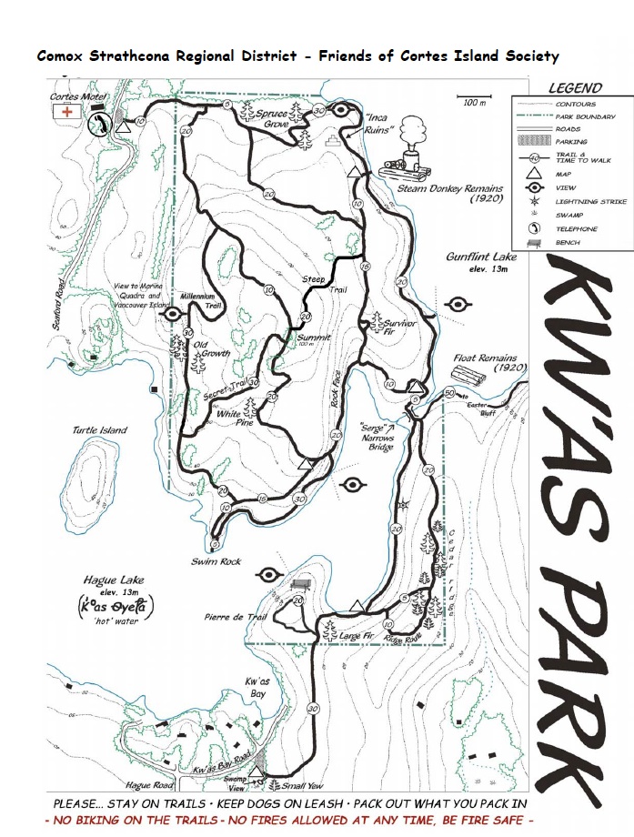
Trekked back along the path to the parking area.  We dropped two hikers off at Whaletown Commons and the rest proceed to the Kw’as trails.  This is a large network of trails and we only had the time to cover a small section.  The section we chose took us along the side of Gunflint Lake and through deep old forests, up to high covered bluffs.  We crossed a bridge that gave us a view of Hague Lake and then continued up and over the manzanita covered bluffs.  We stopped a couple of times at different view spots and to read the information boards posted.  This trail is well marked and indeed beautiful. Unfortunately, we did not have the time to hike to the Old Growth area and all decided we need to return for the whole day next time.  It was a pleasure walking in the cool woods on such a hot day.  The group decided to take a side trip to the Co-op for a nice cold beverage and then onto the ferry line-up.

This was truly a rewarding day and again filled with beautiful memories of another visit to Cortes Island. All hikers arrived home safely and we look forward to seeing the pictures.

Lets return again!

Margot

(click on photos to view larger)

Hiking – Channel Rock & K’was Park – 18 Aug 2015

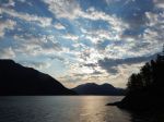
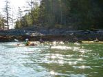
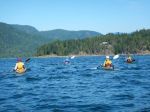
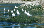
Trip Report – Circumnavigate Read Island – 10-13 August 2015
Monday, August 10
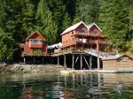
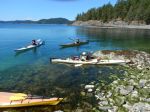
Our group of six (Debbie, Norris, Val, Sheelagh, Lonn and Darcy) launched mid-morning from Discovery Islands Lodge at Surge Narrows in sunny weather with light NW winds. (Thanks to Ralph and Lannie for permission to launch, and to leave our vehicles at the Lodge.) Paddling south toward Viner Point, we took a short lunch break on the north side of the middle King Islet – a rough ‘oyster’ beach, but some potential as a campsite. About 3 p.m. we reached our planned campsite, an abandoned homestead in the second last bay before the Point. As it was still early, some of the group suggested we continue to Lake Bay to check out possibilities there. There is a nice looking campsite at the head of the bay, but as it was occupied, we looked a little further north, then returned to the Viner Point site about 5 p.m. On the way back, we could see humpback whales spouting along the east shore of Quadra Island.

The Viner site has space for 5 or 6 tents in a grove of alders with a couple of small areas on the beach. During supper and through the night, we were entertained (or kept awake….) by fish jumping in the bay, and humpbacks spouting and breaching further off shore. 19 kilometres paddled.

Tuesday
After the early morning humpback show, breakfast, and breaking camp, we launched at 9 a.m. for a beautiful low-tide paddle along the steep shores north of Viner Point. As the wind was forecast to rise to 10-20 by noon with a strong wind warning for late in the day, we took only a short lunch break at Frederic Point (a beautiful site but awkward landing on most tides). It was windy and choppy through Whale Passage, but settled down as we turned the corner and headed north along the east shore of Read Island. Crossing to South Rendezvous Island, we discovered that our hoped for campsite was occupied by a large commercial group. After some discussion, we decided to check out the site on the north end of the island (where some of us had camped in 2014) although landing is difficult except at lower tides. As we arrived at high tide with a northeast wind and rough-ish water, we landed on various ledges and hauled the kayaks well up on the rocks. The main part of the site is a rocky point open to both the east and west – scenic, but exposed. There is also space for tents at the head of the small bay in a dark but sheltered forest. The point has space for 4-5 tents, but ideally 2-3. After a calm evening, the promised wind finally arrived after dark, with most of us scrambling out of tents to batten down the hatches (and save anything hanging out to dry.) Those inclined to wake in the night reported beautiful phosphorescence in the breaking waves.     23 kilometres paddled.

Wednesday
The wind was still blowing on Wednesday a.m. With the challenge of launching boats into the waves and wind, most of us elected to spend the day ashore. Lonn decided to head home, leaving about 9:30. Debbie and Norris, who had landed in a slightly more sheltered spot, took an afternoon paddle around the Rendezvous group, while Val, Sheelagh and Darcy read, snoozed, snacked and chatted until the tide rose sufficiently to move boats around to the head of the bay for launching in the morning.

Thursday
After hauling gear over the rocks, and carrying kayaks over logs and slippery boulders, we launched at 10 a.m. en route to White Rock passage. Sunny, winds light NW. Uneventful paddle back to the Lodge apart from some lively currents near Beazley Passage. Landed at 12:45. 13 kilometres paddled.

Total trip length – 55 kilometres.

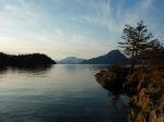
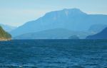
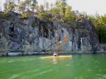
Overall, it was a great trip with excellent weather and wildlife viewing. The main challenge is the scarcity of campsites in the area, which makes it difficult to plan an optimal day’s paddle.

Darcy Mitchell, coordinator


(click on photos to view larger)

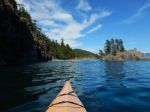
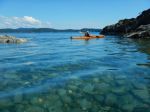
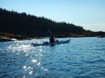
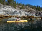
Kayaking – Around Read Island – 10-13 August 2015