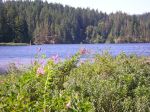
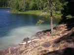
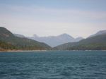
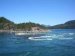
Kayaking in the Hakai Conservancy – July 2015

(scroll down for photos)

Access for kayakers wanting to paddle in the central coast has recently become more difficult. BC Ferries used to let kayakers wet launch at several places along its route on the central coast, but the new ferry is not equipped for that. However, BC Ferries still provides kayak transport to McLoughlin Bay near Bella Bella and there is a convenient beach launch site right at the ferry terminal.

For background information about kayaking in this region, see these articles:
http://www.wavelengthmagazine.com/1996/jj96ferry.html
http://www.wavelengthmagazine.com/PaddleBCCentralCoast.html
http://www.coastandkayak.com/2003/jj03central.html

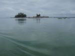
The target kayaking region is from Calvert Island to Bella Bella, with lots of little islands to explore. It is part of the Hakai Lúxvbálís Conservancy and the Great Bear Rainforest.

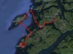
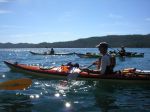
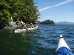
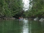
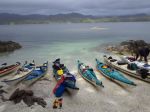
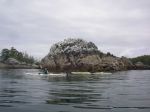
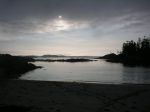
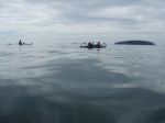
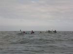
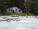
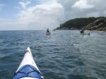
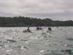
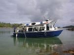
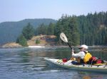
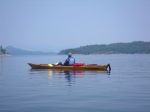
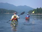
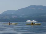
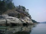
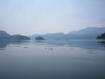
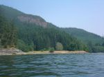
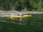
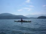
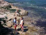
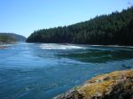
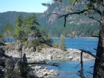
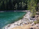
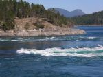
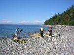
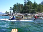
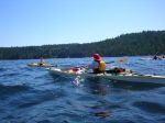
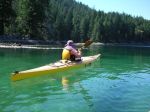
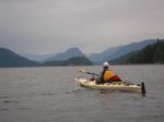
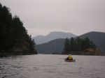
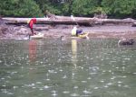
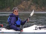
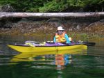
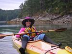
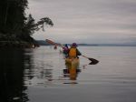
After looking into the region and the problems of getting there with all our gear, organizing the food, and general safety issues, we decided to go with a commercial kayak tour. There are very few of those to this region and one of them happens to be Quadra based. Spirit of the West (kayakingtours.com) ran two trips to Great-Bear-Rainforest-Outer-Islands this summer, and we went with their first one ever. Seven of us from the Quadra Outdoor Club, two excellent guides (Graham and Sam) and three other women, making 12 paddlers and 10 kayaks in total. The trip was eight days long and we paddled about 20 km each day.

The new ferry is very upscale and provides great buffet meals in the restaurant. Two problems. One, the ferry leaves early in the morning and returns late at night, so it works best to overnight in Port Hardy at the beginning and the end, but every room in Port Hardy books way in advance. Solution: there are inexpensive hostels, but you still need to book in advance. Two, it leaves early in the morning and they want you at the ferry at 5 a.m. and it’s a half hour drive out of town. No solution; it takes them a long time to load.

We loaded the gear into the kayaks at McLoughlin Bay and it was blazing hot with no breeze. By the time we got on the water it was after 16:00, we had a fair headwind and we were never too hot again. We didn’t paddle far before we stopped for the night at a small lagoon just north of the junction of Lama and Hunter Channel. Space was limited for the eight tents, but we were very protected.

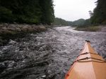
The next day was windy and rainy. We crossed Lama Passage and paddled southwest, against the wind, along the Campbell Island shore. We explored wonderful inlets and channels along the way. The weather had improved by the time we reached our campsite on island “49”, a cozy, protected midden beach.

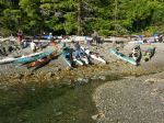
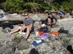
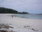
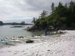
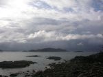
On day three we paddled through some amazing narrow channels and then on through the Admiral and Tribal group of islands to the McMullin Group. We meandered through the shallow waters between islets and then camped on a spectacular, white sandy beach with great views.

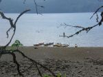
On day four we continued through the McMullin islands and then crossed to the north end of Goose Island. We were fortunate to have only a bit of wind and not a lot of swell for this 45-minute crossing. This area is both exposed and shallow and would not have been possible in many conditions. We had lunch and explored the long sandy beach with cabins once used by the Heiltsuk rediscovery camp. We continued to paddle along the east side of Goose Island, against some wind and current, to Gosling and Snipe Islands. This area also has extensive shallow sandy areas, which connect the islands at a low tide. We camped on Snipe, with beaches on both sides.

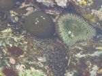
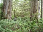
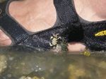
On day five, we made the big crossing over Queen Sound to the Simonds and McNaughton Group. We got an early start in order to reach protected waters before the forecast strong afternoon winds. In the McNaughton Group, we paddled along very narrow channels admiring the intertidal life and camped on another sandy beach on Hunter Island near Cultus Sound. This site had a short walk through very impressive old growth forest to another beach.

The following day, we continued south to Triquet Island. Although we were mostly protected from the fairly strong southwest winds by islets and channels, the crossing south of Superstition Point was quite bouncy with refracted waves. We paddled through Spitfire Channel and Spider Anchorage. We camped on Triquet for two nights, enjoying more leisurely day paddles, beach-time and walks on the seventh day.

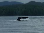
On the last day the water taxi picked us up, returning paddlers, kayaks and gear to the ferry dock. In the early evening we boarded the ferry back to Port Hardy. We saw humpback whales in Lama Passage and Fitz Hugh Sound.

We expected northwest winds; we got southeast and southwest winds. The unusually hot summer weather changed just before our trip. For a drought, we had quite a bit of rain. However, we cannot complain about the weather. This area is extremely exposed, so we were lucky we had good weather for the big crossings we made. We hoped to also cross notorious Hakai Passage to Calvert Island, but conditions were not favourable. Thanks to satellite technology, we were not forced to make that crossing. The guides used an inReach SE so that they could send text messages via satellite to the water taxi so they could pick us up wherever we happened to end up on the last day.

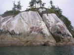
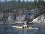
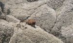
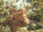
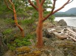
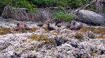
Other trips would have other weather and interests and take other routes. It’s a big area with lots to see. Incredible white sandy beaches, amazing sculptured granite cliffs along the shore, sea otters, sea lions, big trees, sand hill cranes and more than 20 other birds. Some sun, some rain, some wind, some calm, some swell, some waves, no fog. We saw a few fishing and cruising boats, but very few other kayakers. It’s a great place.

Thanks to the guides for all their hard work watching out for us, the great food, and arranging everything.

Photos by K. Manry, V. van Veen, M. Wood and N. Weimer.

(click on photos to view larger)
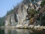
 

Hiking – Far West Wall – 2 Sept 2015

 POSTPONED to Saturday, September 5th

Activity Hiking
Destination Far West Wall
Date 2 5 Sept 2015, Wednesday Saturday
Trip Coordinator Norris Weimer
Contact Info 285-3710 or norris.weimer@ualberta.ca; please contact the coordinator in advance of the trip
Description This hike begins on the south side of South Chinese Mountain.  It then follows a flagged route to a climbing wall.  The route goes around and up to the top of the climbing area.  This involves some big steps and minor scrambling. The effort is rewarded with great views.  About 3 hours.
Meeting Place Heriot Bay Store for car pooling
Departure Time 10:00
Difficulty
Moderate.  This is a short hike (5km) mostly without a maintained trail and one very steep section
Costs none
Trip limits none
Dogs? no
Notes: Bring lunch


Hiking – Nugedzi Lakes – 22 Aug 2015

 Rescheduled

Activity Hiking
Destination Nugedzi Lakes and overlooks
Date 22 Aug 2015, Wednesday
Trip Coordinator Debbie Quigg
Contact Info 285-3710 or debbie.quigg@ualberta.ca; please contact the coordinator in advance of the trip
Description We will hike up the old logging road and into the forest.  This trip takes us through some old forest groves and on to the Nugedzi Lakes.  Hopefully, it will be warm enough for a swim.  We would like to visit both of the overlooks, which makes this a fairly long hike (about 12 km) with a moderate amount of elevation gain.
Meeting Place Heriot Bay Store for car pooling
Departure Time 9:30
Difficulty
moderate
Costs none
Trip limits none
Dogs?
Notes: Bring a lunch and possibly a bathing suit.


Hiking – Channel Rock & Kw’as Park – 18 Aug 2015

Activity Hiking
Destination Channel Rock and Kw’as Park Trails, Cortes Island
Date 18 August 2015, Tuesday
Trip Coordinator Margot Wood
Contact Info 285-2393; Please would you let me know before Aug 4th. I need to inform Channel Rock of numbers.
Description I will organize car-pooling for this trip. We will leave on the first ferry to Cortes. The group will visit Channel Rock starting with a beautiful hike along the coast line to Channel Rock. Channel Rock is a 140 acre paradise, protected by a land covenant, powered by solar energy, & accessible by boat or by foot. Surrounded by stunning coastlines, lush forests, & magical ecosystems. Many interesting dwellings have been built over the years, built by the islander’s talented woodworkers, that fit into the natural landscape & offer examples of highest quality craftsmanship & natural building mediums. The gardens are not just bountiful but beautiful. This was the home of Gilean Douglas for over 40 years. Gilean was a journalist, historian, feminist & a nature writer. I have booked a tour for us. This will be our morning trip & in the afternoon we will hike the Kw’as Park Trail Network. This large network of trails varies in difficulty & time depending on the route taken. Trails lead along the side of Hague & Gunflint lakes, through deep old forests & over high manzanita covered bluffs. We will return on the 3:50 p.m ferry.
Meeting Place Cortes ferry line-up.
Departure Time 9:05 a.m. ferry
Difficulty
easy – moderate
Costs Ferry cost plus Channel Rock tour $15
Trip limits none
Dogs? no
Notes: Bring your lunch and water

Trip Report – Granite Bay – 8 July 2015

A group of six paddlers enjoyed perfect conditions for a tour around Kanish Bay on July 8th. The smokey atmosphere had cleared and we could enjoy the view across the Inside Passage. We made our way out through Chain Islands, then cut across the calm waters of the bay to Granite Point – a destination you can only attempt in such ideal weather. We poked around the point to take a look into Okisollo Passage, then moseyed back along the north shore of Kanish Bay. We had heard that there were pictographs somewhere along the cliffs, and happily we were able to spot a couple of sketchy images in red pigment. Lunch was on a rocky point part way along the shore, followed by a swim at Orchard Bay. It felt like a pretty mellow day, but we covered 18 km in our circuit around Kanish Bay.

(click on photos to view larger)
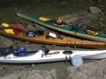
Kayaking –Granite Bay – 8 July 2015

Trip Report – Surge Narrows – 3 July 2015

We had a group of 10 for this outing on a hot, sunny and very windy day. Of the ten, five had never been on a hike with the QIOC and the ages spanned more than 50 years. We started at Mine Lake, on the big rock, for a swim and lunch. The water was very warm, but there were white caps on the lake. We drove out to the end of the Surge Narrows road. As we visited the community dock, we were treated to a close encounter with an eagle carrying a fish. We hiked along the Surge Narrows trail to the viewpoint, arriving about a half hour before the max flood current of 10.6 knots, which was very impressive. Some of the group continued on the unmaintained route to the next bay and point, with views up toward Okisollo Channel and lots of wind and waves. There was a ground nesting wasp sting and a hurt foot on the return trip, but the victims took it in stride.

(click on photos to view larger)
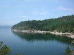
Hiking – Surge Narrows – 3 July 2015

Kayaking – Around Read Island – 10-13 August 2015

Activity Multi-day paddling
Destination Circumnavigate Read Island
Date 10-13 August 2015, Monday-Thursday
Trip Coordinator Darcy Mitchell
Contact Info darcm@telus.net or 285-2739
Description A three-night paddling/camping trip. Depending on weather conditions, we will launch from either the Hyacinthe Bay area or Discovery Islands Lodge (near Surge Narrows).
Meeting Place TBA
Departure Time TBA
Difficulty
Moderate to difficult. We should expect to paddle between 15 and 20 kilometres per day.
Costs Launching fee if trip starts at Discovery Islands Lodge.
Trip limits 6 people
Dogs? no
Notes: Please contact the trip coordinator no later than July 31 if you’re interested in this trip. Once we know who will be going, we’ll discuss details.


Hiking – Ralph River – 25-27 August 2015

Activity Hiking and camping
Destination Ralph River, Strathcona Park
Date 25-27 August 2015, Tuesday-Thursday
Trip Coordinator Sheelagh Elmitt
Contact Info 285-2296 or sheelaghelmitt@yahoo.ca.  If you want to go on this trip you need to contact Sheelagh and commit ASAP.
Description We will spend two nights at the Ralph River Campground. We will hike to Bedwell Lake on Wednesday.  The other two half days we will do shorter hikes.  Bedwell is a moderate hike to a beautiful alpine lake.  Six kms long with 600 metres elevation. About 3 hrs one way.
Meeting Place Quadra ferry terminal to Campbell River
Departure Time 9:00 am ferry
Difficulty
moderate to easy
Costs camping fees, ferry and shared gas
Trip limits camping gear and fitness
Dogs? no
Notes: As of July 2nd there are very few campsites left at Ralph River, so it’s important to commit soon if you want to go on this trip.

Trip Report – Kayaking Carrington Bay – 23-25 June 2015

We took the first ferry to Cortes, drove to Sea Vista to launch our kayaks with our camping equipment. We paddled through Plunger Passage, past Coulter Bay, into the Sutil Channel and onto Carrington Bay. This was interesting and at times a little challenging. On arrival at Carrington Bay we set up our tents near the lagoon entrance. A narrow channel through which the tide flows, mixing salt and fresh water. A lovely camping area with many sunny spots with the lagoon for swimming. (Sheelagh and Valerie had a swim at night)

Carrington Bay is home to a significant amount of wildlife, beautiful old growth trees and a network of hiking trails. After setting up camp, we paddled in the bay only, due to strong winds and white caps in the channel. Spent time exploring Carrington Bay. We discovered a huge number of Sea Cucumbers in the lagoon and on other rocky shorelines. The next day we did a marathon of 27.2km, taking in Frederic Point and onto the Penn Islands. Beautiful rock faces, stunning arbutus groves, seals keeping watch, glorious colours……you get the picture. After lunch, we paddled onto Von Donop to explore. Beautiful purple starfish, a welcome treat to us all. We had a couple of showers, however, they were refreshing and light. Moon Jellyfish in an abundance in the Carrington Bay. We arrived back to camp by 5 p.m……a great workout. All dinners were superb, dishes done and into bed early. The weather called for strong winds arriving by noon on Thursday, we decided to get moving early the next morning.  The return paddle was the same route. We took the opportunity to explore Coulter Bay. Arriving in time to take the 1:50 p.m. return ferry. Tired but all very happy kayakers.

A great group of QIOC members………thank you for joining me on one of my favourite islands.  – Margot

(click on photos to view larger)
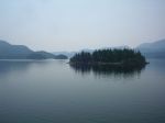
Kayaking – Carrington Bay – 23-25 June 2015

Kayaking – Kayak Rescue Practice and Potluck – 13 July 2015

 Postponed until warmer, sunnier weather!

Activity Kayaking and Potluck
Destination Rebecca Spit
Date 13 July 2015, Monday
Trip Coordinator TBA
Contact Info qioutdoorclub@gmail.com
Description This is really two events.  You can do either or both.  We will have a very unstructured kayak practice for bracing and rescues.  There will be no instruction and no gear provided, but we will help each other to practice these important skills.  Following the kayak practice, we will also have a potluck.  You don’t have to be a member to come to the potluck.
Meeting Place Rebecca Spit parking lot by the meadow
Departure Time 16:00 for the kayak practice.   17:30 for the potluck
Difficulty
It will be what you make of it
Costs none
Trip limits none
Dogs? no
Notes: