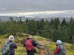
Three hikers, and one honorary member, were able to participate in a last-minute posting for a
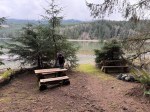
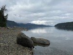
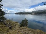
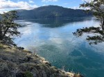
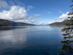
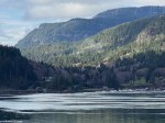
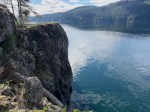
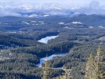
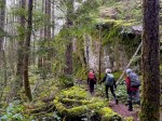
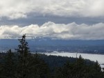
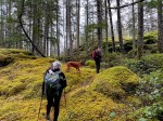
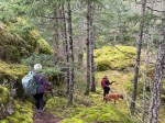
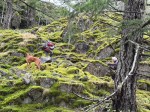
ramble around Heriot Bay. Braving very inclement weather, we set off at 10:10 am from the Boat Ramp parking lot to walk out to the end of Rebecca Spit, with the intention of making a go/no-go decision when we got back to our vehicles. The immediate hailstorm and blustery winds were not auspicious for a longer outing. However, by the time we got back to our cars, the skies had lightened, the wind dropped, and a light rain was falling so we decided to continue with the trip plan. We walked through the campground, turned south onto Heriot Bay Road then soon crossed over to the trails in IR 9. We followed a northerly route to eventually come out onto Hooley Road, then Buker to Heriot Bay Road. At this junction, Georgia, with her low slung carriage and bare feet, was quite cold and wet so she took her human back to Rebecca Spit to their warm, and dry, truck, meeting up with the rest of the group at Java Bay Café in Heriot Bay.
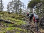
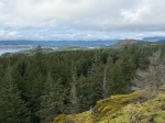
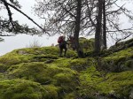
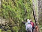
The remaining hikers walked along the water-side of Heriot Bay Road up to Pilot, up Pilot onto
Schooner, Schooner to West Road to the mall and Java Bay Café for very welcome
refreshments, and were soon joined by our third hiker. Having endured continual bouts of heavy rain and hail throughout the ramble, we gratefully accepted the offer of a drive back to our vehicle at Rebecca Spit. 3 hours including Café stop. 8 km walking; 2.5 driving
This Ramble is a great winter hike when wilderness trails are too wet/icy/snowy . The Café
break is a very welcome bonus. The route allows for several go/no go decision points, and
having one car parked at the Café is suggested in really bad weather.
Valerie van Veen
Thanks to Valerie for the photos
-
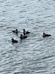
- Harlequin Ducks
-

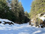
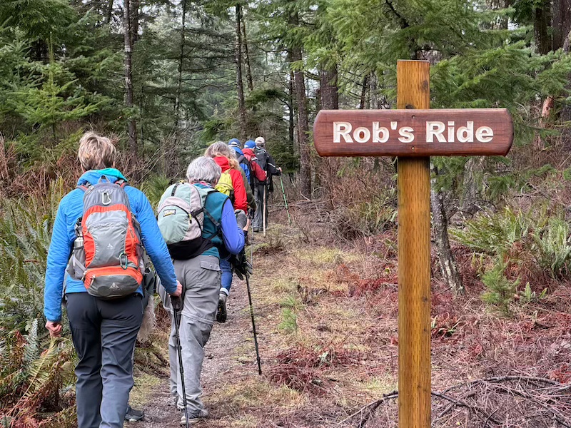
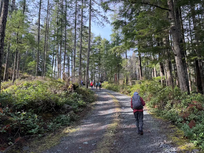
- Trail to Hooley Rd
-
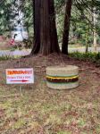
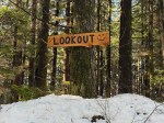
- Cute sign, but closed
-

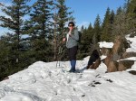
- Little people on Schooner Rd