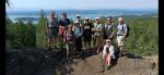
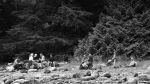
This hike had been rescheduled from Aug 26 to Aug 28th due to a heavy rain that decided to set upon the hikers on Monday. Nevertheless, the wait for two days was worth it as the skies were clear and the sun bright. The hike included seven members and one guest from Saskatchewan.
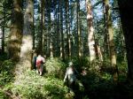
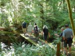
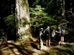
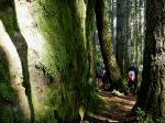
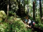
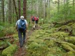
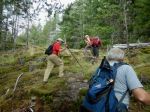
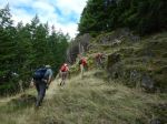
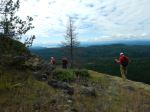
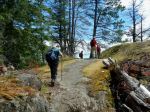
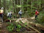
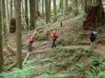
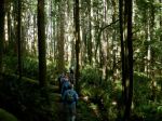
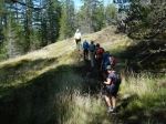
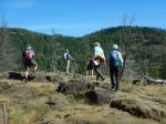
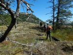
The hike started at Morte Lake parking lot, which we quickly veered off of onto Deadfish hiking/biking trail. We followed the trail all the way to the end where there was nice “peek a boo” view of Morte Lake. The group then started on Seven Sins trail that wound us back and forth to Ridge trail eventually ending up at Tripod. The most recent storm had knocked down our trail marker Tripod so three hikers set to resurrect it if only as a temporary measure until it can be secured in place.
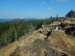
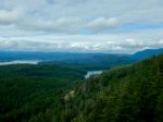
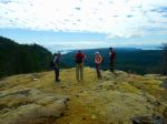
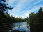
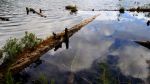
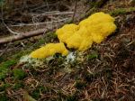
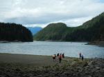
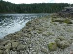
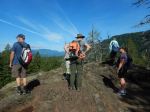
From Tripod the group continued down and followed Mud Lake until we turned back up on Ridge to Lost Rider. Instead of heading back to Deadfish trail, the group travelled up Morning Beer to have a great lunch overlooking the valley and enjoying the August sunshine. Due to the rain, the group did not complete the hike on Morning Beer but cut across back to Deadfish and completed the loop back to the Morte Lake parking lot.
Duration was approximately 2hrs 45min and 8.3km
Louise and Nicole

-
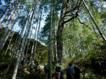
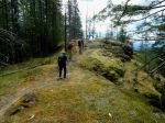
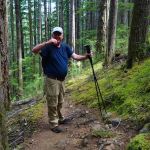
- Top of Deadfish
-
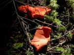
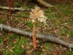
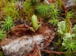
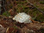
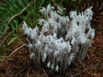
- Lobster mushroom
-
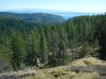
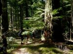
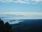
- Views from Morning Beer