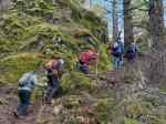
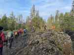
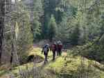
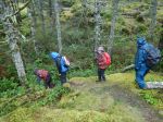
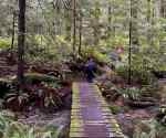
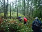
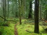
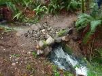
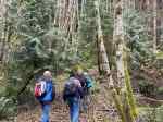
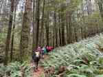
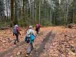
It wasn’t sure that this trip would happen with heavy rain on the days before and after the scheduled day. Also five people who wanted to go, weren’t able to come, but fortunately we still had five hikers on a dry day. Plus a dog that loved sticks. The recent logging has changed the appearance of the quite long approach on logging roads, but the trail was in better condition than we expected.
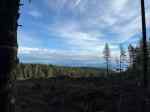
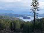
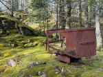
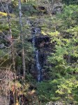
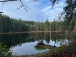
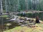
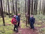
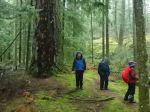
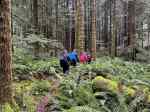
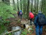
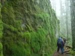
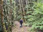
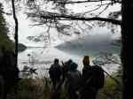
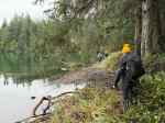
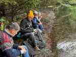
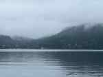
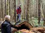
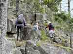
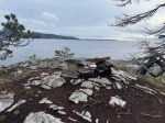
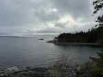
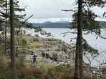
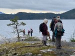
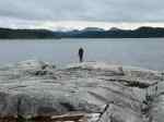
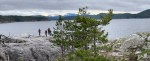
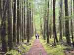
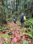
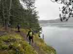
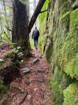
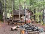
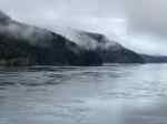
We hiked into the forest from the trailhead off of the Q80 logging road system and followed the old, disused roads to the end where the International Harvester Scout rests. We chose to hike the loop over the Mt. Lolo bluff, taking our time and care on the wet bluffs. We had a limited, watercolour view down Discovery Passage from the shoulder We descended to the small bay on Discovery Passage and then continued along the shore before traversing to the east side. We checked out the cabin and then crossed the causeway to Maud Island and hiked up to the viewpoint over Seymour Narrows. It was a very calm, quiet day highlighting the smooth, but complex currents in this difficult passage.
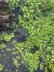
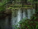
After a late lunch, we hiked back on the low route, stopping briefly at the Saltwater Lagoon, before returning to the vehicles. (10.6 km, 430 m elevation gain, 4¼ hours)
Debbie
Thanks to Carrie and Norris for the photos.
Click on photos to enlarge
-
-

-
Old International Harvester
-

-
-
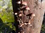
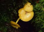
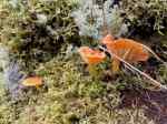
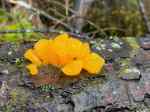
Orange Jelly fungus
-
-
-
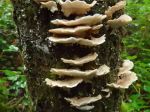
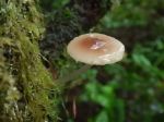
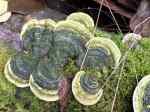
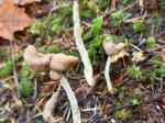
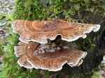
Turkeytail fungus
-
-
-
-

-

-
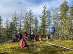
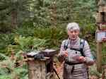
Lunch at the viewpoint
-
-
Discovery Passage
Hiking – Maud Island – 26 Nov 2025