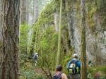
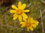
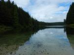
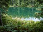
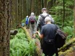
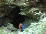
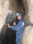
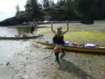
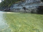
Seven hardy souls braved calm waters, no wind, no rain, light cloud cover, and mild temperatures to venture out to the Bretons and beyond. From the Len Road put-in, we were on the water by 10:17 am, launching taking a little longer than usual thanks to the very low tide. A gentle paddle out to the Bretons gave us a chance to admire the pillow lava in Hyacinthe Bay, and the exposed inter-tidal in Hyacinthe and the Bretons. A few curious seals eyed us from quite close up, they are now obviously much more used to kayakers than when I first paddled in the Breton islets. We saw a few gulls and one small flock of ducks (Goldeneyes ?). The absence of Oystercatchers and other birds usually seen there was possibly due to the large contingent of kayakers from one of the local outfitters who had landed on one of the islets in the very low tide and were busy exploring. We proceeded to Moulds Bay for a brief rest stop, the cabin there seems deserted once again. Passing “Clay’s Cabin” and the oyster lease, we were able to squeak through Shellaligan in the now rising tide. At the oyster lease, heavy rope netting still covers the bagged oysters on the beach, seemingly untouched since my last foray there a few years ago. We also noted the abandoned vessel beached in Shellaligan, no sign of any squatters there this year, nor on Shellaligan Beach. As time, not destination, was the determinant for this paddle, we opted for the first beach on the south side of Village Bay, that is also accessible from the trail, just before it turns inland, as our endpoint, rather than press on to the north beach at Village Bay. After a brief lunch break, we paddled directly back to Hyacinthe Bay, against a light wind, and were rewarded with a high tide landing. 14.5 km; 5 hours.
Valerie
(click on photos to enlarge)
-

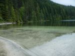
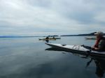
- The very low tide
-
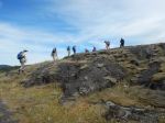
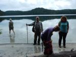
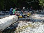
- Warming up
-

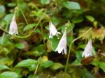
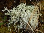
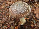
- Sea urchins
-
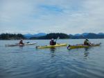
- toward the Breton Islands
-
- Shallows at Shellaligan Pass
-

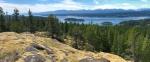
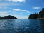
- Bluffs in Hoskyn Channel

-
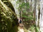
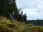
- Lunch stop in Village bay
-
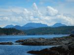
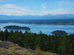
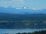
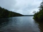
- View NE from lunch stop
-
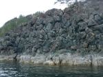
- Pillow lava in Hyacinthe Bay
-
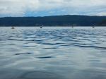
- Paddling back