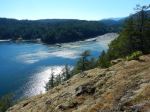
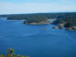
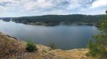
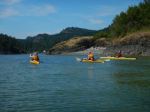
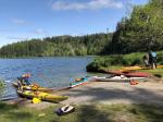
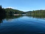
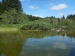
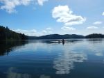
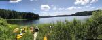
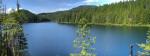
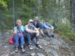
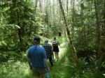
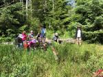
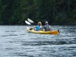
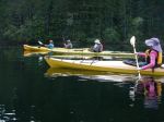
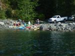
A light wind started the day, however it soon diminished. Fifteen kayakers met at Gowlland Harbour Resort, we were all on the water before 10:30 a.m. Kayaked southeast, around the point of Stag Island. All the islands were painted in yellows, reds, blues & splashes of white flowers, extremely beautiful. We stopped at Vigilant Island, aka Tree Island and explored the area. The flowers were amazing, we even found chocolate lilies growing, also discovered a mass of large bones, probably a sea lion. To stand on this island and look at the flowers with the backdrop of snow covered mountains, unbelievable. We live here! Kayaked around the shore of the island viewing sea urchins, starfish, displaying a mass of colour in the ocean. The seals watched us and probably celebrated when we left. We then kayaked over to May Island, the tide was low and found adequate spaces for all to land. Enjoyed our lunches and chatter. Off again to view the ship wreck and kayaked over to the shore of Quadra. Traveling down the shoreline was such a treat, cascades of water, wildflowers in an abundance. The tugboats were still working, taking out log booms. Arriving back at Gowlland Harbour Resort, we were filled with memories of a pretty perfect day.
Thank you to all kayakers for your help, the sharing of stories, delicious cookies, laughter and to be together. And thanks to Gowlland Harbour Resort for giving us permission to launch from their private property. Wishing you all beautiful memories of this day.
Margot
click on photos to enlarge
-
-
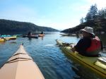
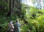
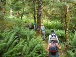
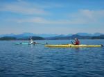
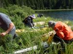
Launching
-

-

-

-
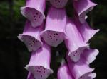
Sea Blush
-

-

-
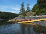
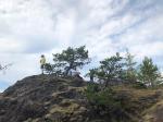
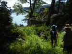
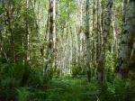
Vigilant/Tree Island
-

-
Sea Lion bones
-

-
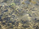
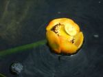
Sea Urchin shell
-

-
Death Camas
-

-

-
Chocolate Lilies and Sea Blush
-

-
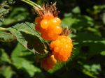
Saskatoon in bloom
-

-
Monkey Flower
-

-
Miner’s Lettuce
-

-
Sea Urchin
-

-

-
Leather Star
-

-
Purple Sea Star
-

-

-
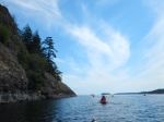
Exploring the wreck
-

-
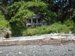
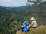
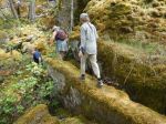
The Stone House
-

-
Leather Star holding on
Kayaking – Gowlland Harbour – 2 May 2018