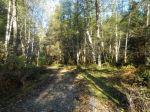
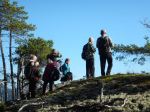
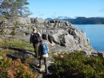
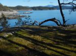
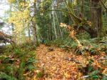
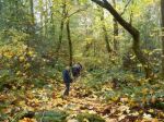
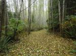
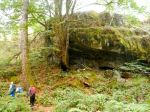
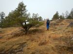
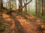
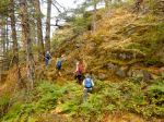
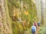
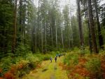
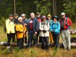
On a overcast and drizzling day 11 hikers decided to check out Benner’s woodlot. He has put up a newly painted sign that shows most of the roads in his woodlot. This is easy hiking and good for rainy days. We started at the sign and proceeded to Open Bay Main. From there we headed toward Stramberg Lake. Once in the park we found the creek was flooded over the trail so made a slight detour around. At the lake the level of water was so high from recent rains that the trail to the bluff was submerged. A few brave souls scrambled up the rocks to still get a view down the lake. We then proceeded back to the first opening for lunch. After lunch all hiked back around and came out on Village Bay road and then back to the vehicles. 8.3 km and 2½ hours not counting lunch break.
Les
(click on photos to view larger)
-
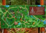
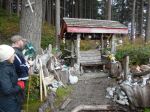
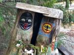
- The painted map
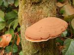
-
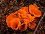
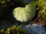
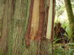
- Orange peel fungus
-
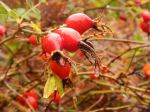
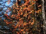
- Rose hips
-
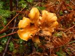
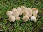
- Chanterelle
-
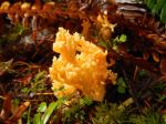
- Coral mushroom
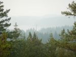
-
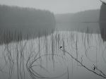
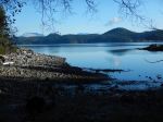
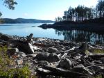
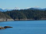
- Stramberg Lake
-
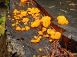
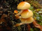
- Jelly fungus