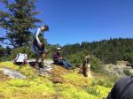
Three of us caught the 9:00 am ferry to Campbell River and when we reached the parking lot at the trailhead only one other car was there.The weather was typical west coast Spring with patchy clouds, sunshine and rain in the distance.
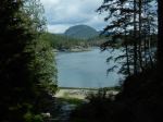
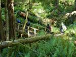
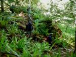
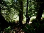
On the way to Seymour Narrows there are several viewpoints with excellent views of Menzies Bay with log booms and other watercraft. With the recent rain all the new growth was spectacular with thimbleberries in bloom, salmonberries ripening and all the variety of ferns and other plants we are learning to identify. There are several bridges over rushing creeks with many wire covered wooden structures over wet areas. The trail overall is easy walking with some uphill stretches that require careful stepping due to rock outcroppings. One set of stairs had a broken step, which hopefully will get repaired soon, as we did meet a maintenance crew trimming the new growth along sides of the trail.
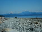
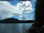
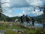
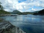
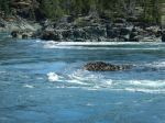
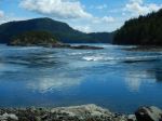
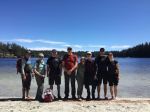
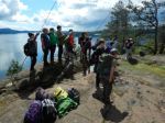
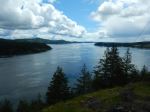
The view at Seymour Narrows overlooking where Ripple Rock was blasted is striking as you can see up and down the Narrows for quite a distance with good views of Quadra Island. At the bluff viewpoint a large group of school age kids where just finishing their lunches before heading back on the trail before us. On the return hike it started to sprinkle so jackets went back on. With the rain and the group ahead of us the trail seemed more muddy from when we came out. By the time we reached the parking lot the sun came out with blue skies as we headed back and caught the 3:00 pm boat to Quadra. All and all a very enjoyable hike. (8.8 km 4 hours with lunch stop)
Allan
(click on photos to enlarge)
-

-
The big Spruce
-

-
-
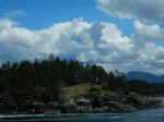
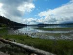
Menzies Bay
-
-
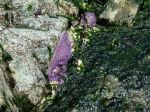
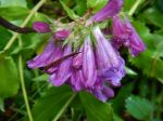
Penstemon
-
-
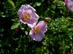
Wild Rose
-
-
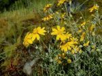
Arnica
-
-
-
-
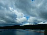
South through Seymour Narrows
-
-
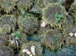
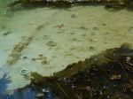
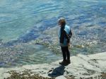
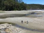
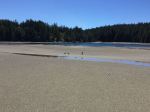
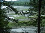
Low tide
-

-
Horsetail and fern
Hiking – Ripple Rock Trail – 29 June 2024