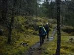
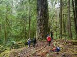
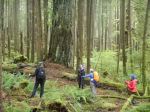
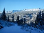
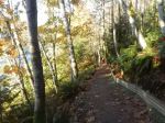
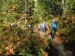
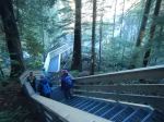
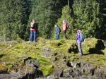
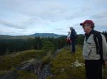
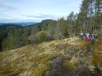
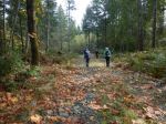
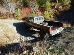
Another weekend was forecast to be fabulous, so we did another short-notice hike to check out a place we had never been to. It’s a difficult place to get to in part because the logging company keeps the access road closed most of the time. When it is open, the gate is locked promptly at 6:00 p.m. There is a long drive inside that gate, some of which has great views of Comox Lake and mountains along the way. Then there is a 2 km section which has water bars (cross ditches) making it accessible for 4×4 only and then there is the hike itself. The trail is well worn, but hardly improved, so it is slow. And this makes it harder to do as a day-hike. We parked before the water bars and hiked up the logging road to the trailhead.
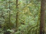
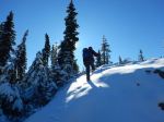
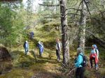
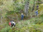
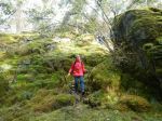
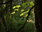
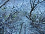
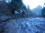
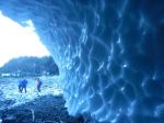
The trail isn’t special. It’s often muddy, rooty and slippery, there is a lot of deadfall, there is a headwall below the Lake with a few places which require a bit of scrambling (and could use a rope). Also, for us the trail was frequently icy, and occasionally the rock had a thick coating of ice.
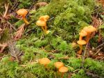
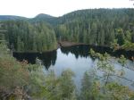
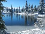
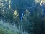
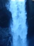
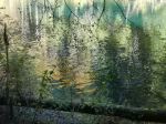
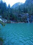
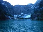
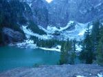
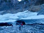
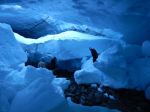
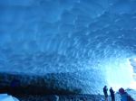
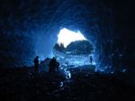
The destination is quite nice. Century Sam Lake is a glacial blue – it would be great with sunshine on it. We were too late in the season for that. The Lake lies in a hanging valley below Comox Glacier. A kilometre or so beyond the lake there is an ice patch with ice caves. Fantastic. For us, there was a strong, cold winter wind blowing across the lake, so we did not stay long.
This has become a very popular destination in the summer, when it is green, and you can see why. Even now, late in the season, there were lots of people there. Our whole hike was 13.6 km, 7 hours, 568m elevation gain to 1,000m at the ice caves. For just the trail portion, it was 8.3 km, 5¾ hours, 400m altitude gain.
Norris
Thanks to Norris, Stephen and Carrie for photos
(click on photos to enlarge)
-
-
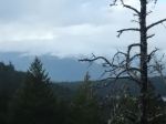
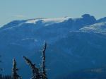
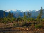
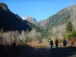
Comox Glacier
-
-
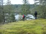
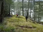
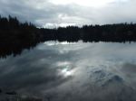
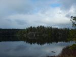
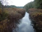
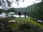
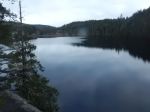
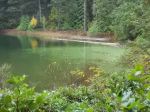
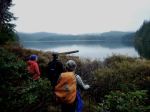
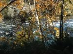
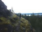
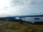
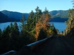
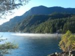
Comox Lake
-
-
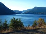
Comox Lake
-
-
-
Comox Lake
-
-
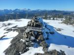
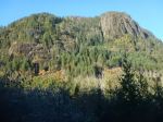
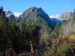
Alone Mountain
-
-
-
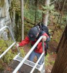
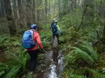
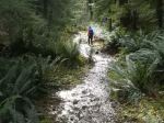
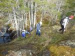
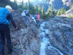
Crossing a water bar
-
-
-
-
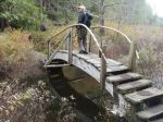
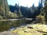
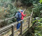
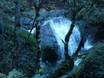
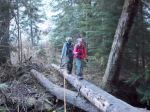
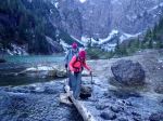
Bridge over Comox Creek
-
-
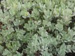
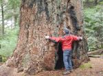
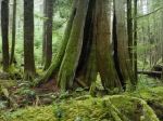
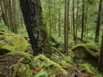
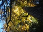
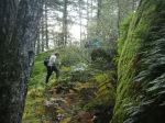
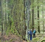
Trail through avalanche path brush
-
-
-
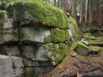
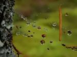
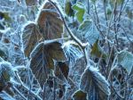
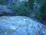
Ice-covered rock
-
-
The ice-covered rock
-
-
More ice on rock
-
-
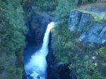
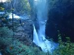
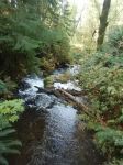
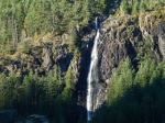
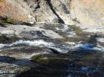
Comox Creek below the Lake
-
-
-
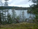
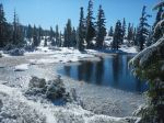
Century Sam Lake
-
-
-
The valley above Century Sam Lake
-
-
-
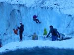
Ice caves
-
-
Sculpted ice caves
-
-
-
-
Ice climbers & visitors
-
-
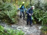
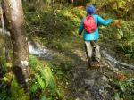
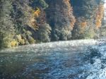
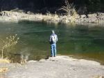
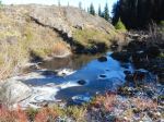
Creek crossing