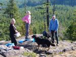
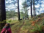
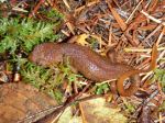
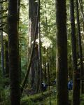
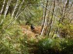
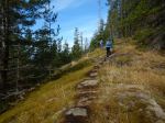
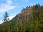
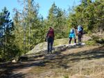
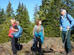
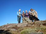
Six of us took advantage of the fantastic fall weather to hike up to Mt. Seymour to enjoy the views. The cooler, crisp air was perfect for hiking. There were hardly any mushrooms on the way up in this drier environment. We enjoyed the views all along the open, rocky bluffs and visited the three outlooks at the summit for a nearly complete view. We had lunch on the east-facing bluff and stayed quite a while. We could have stayed there all day! 8.0 km; 4½ hours.
– Norris
(click on photos to view larger)
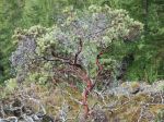
-

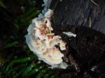
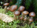
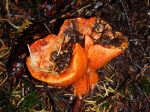
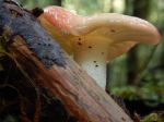
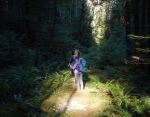
- Fungus
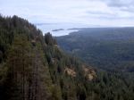
-
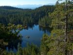
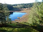
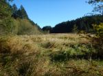
- Little Nugedzi Lake
-
- Mt Doogie Dowler
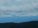
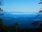
-
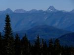
- Mainland mountains
-
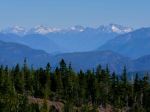
- Looking east