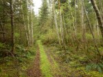
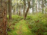
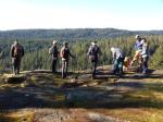
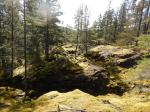
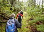
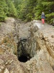
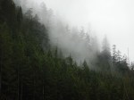
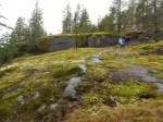
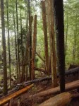
In spite of a rainy morning, six intrepid hikers set forth for Deepwater Bay. The route goes west from the Granite Bay Road, through a low section north of Mount Seymour. Given the brooding sky, we elected to attempt the drive up the logging road for the first part of the hike. This will not be possible for too much longer due to erosion and encroaching growth along the road. We stopped to view the remains of the old rail trestle which was once part of a logging railway from the north end of the island. There is quite a lot of evidence of the section bridging the canyon by the side of the road. Where the railbed ran before and after that is left to speculation.
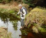
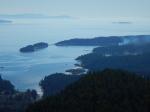
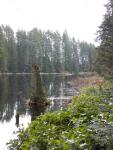
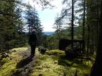
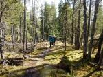
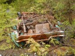
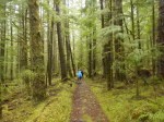
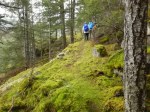
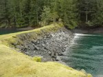
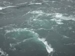
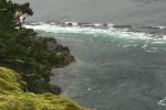
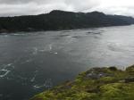
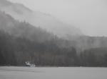
After about 2.5 km we parked the cars and walked the last half of the road down to the shore. Beyond the logging, it’s a beautiful, steep valley with lots of water in the creeks. There are a number of buildings strewn around the shore site, in varying states of decay – remains of a fish hatchery that has been closed for over 20 years now. Previous to that, the site was a log dump. Sometimes the bay is busy with boats waiting for slack tide to go through Seymour Narrows, but there was not much action on the water other than a couple of seiners huddled against the shore. Once the herring start to run, sea lions are sometimes spotted here, and I have watched a huge school of dolphin cavorting off the point. But all was quiet today and it was a soggy, grey view across the water.
After a hurried lunch in the rain we trudged back up the hill to the vehicles, electing to save exploration of some of the tracks that ran off from the main logging road for a drier day. After less than three hours, we were back on the Granite Bay Road heading for dry clothes and a warm beverage. 4.4 km.
Kathryn
-
-
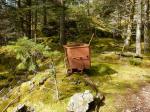
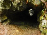
Remains of trestle
-

-

-

-

-
-
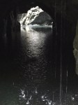
Deepwater Bay
-

-

-

(click on photos to view larger)
Hiking – Deepwater Bay – 17 February 2016