
Postponed to 14 October
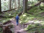
| Activity | Hiking |
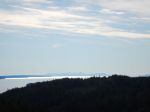
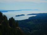
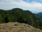
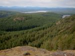
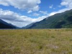
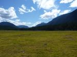
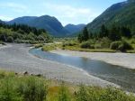
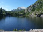
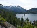
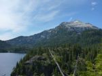
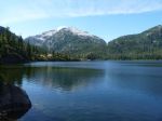
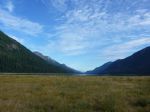
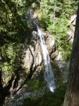
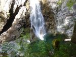
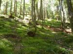
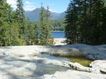
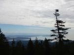
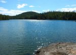
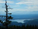
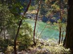
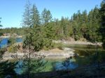
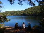
| Destination | Morte Lake Loop |
| Date | 14 October 2105, Wednesday |
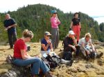
| Trip Coordinator | Norris Weimer |
| Contact Info | 285-3710 or norris.weimer@ualberta.ca; please contact the coordinator in advance of the trip |
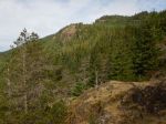
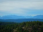
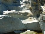
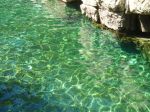
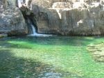
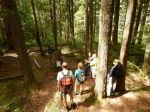
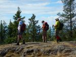
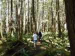
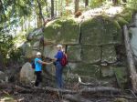
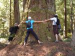
| Description | This is a classic hike circumnavigating Morte Lake. We may vary the route and take some of the new trails on the ridge south of the Lake. 4 to 5 hours. |
| Meeting Place | Heriot Bay Store for car pooling |
| Departure Time | 10:00 |
| Difficulty |
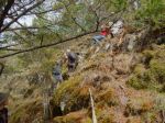
Moderate. Maintained trail, possibly mountain bike trails and flagged routes. |
| Costs | none |
| Trip limits | none |
| Dogs? | |
| Notes: | Bring lunch |


