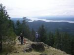
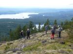
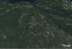
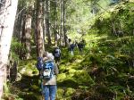
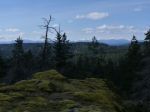
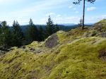
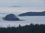
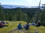
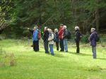
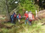
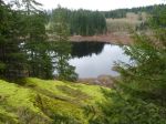
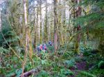
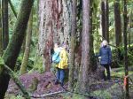
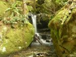
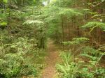
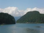
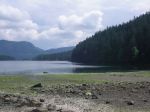
Seven of us set out on a hike to Waiatt Bay on Sunday. It was overcast and cool but just right for a long hike. The road from Granite Bay to the trail head is much better due to the logging road expansion. The trail in to Newton Lake is in good shape and the uphill hike makes for a good warm up. We stopped at the swimming spot for a snack and to admire the blue/green aqua color of the lake. As we descended to Small Inlet we passed the waterfall from the lake, which was gorgeous as usual. As we passed the head of the inlet we took the inland route which seems to be the preferred route now for hikers. The tide was out at Waiatt Bay so made for a variety of spots for lunch.
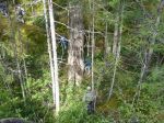
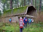
On the return trip we took the portage trail to Small Inlet. It is in poor shape and much in need of some chainsaw work. It is always amazing though to see the bubbling spring near the ocean. From there we returned the same route in sunshine. The total trip was 14 km and took about 5 and a half hours.

-
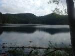
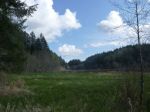
- Newton Lake


-
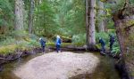
- Small Inlet
-
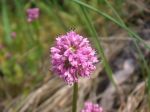
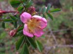
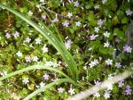
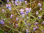
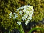
- Sea Blush

-
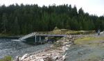
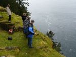
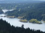
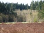
- Waiatt Bay
-
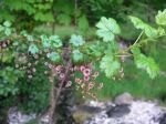
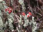
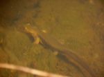
- Wild Current
-
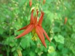
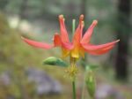
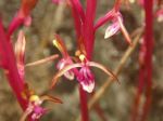
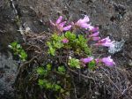
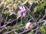
- Wild columbine
-
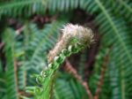
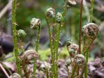
- Sword Fern
-

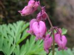
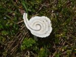
- Indian Pipe
-

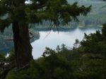
- Clear Lake
(click on photos to view larger)
Hiking – Newton Lake, Small Inlet & Waiatt Bay – 17 May 2015