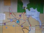
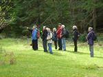
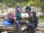
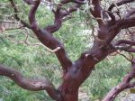
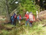
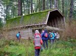
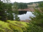
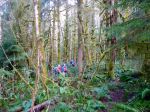
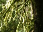
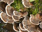
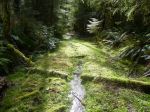
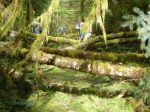
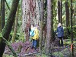
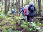
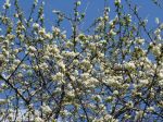
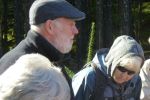
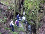
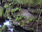
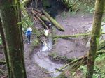
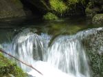
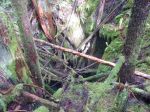
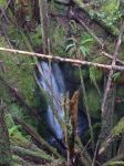
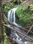
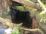
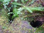
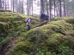
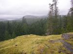
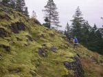
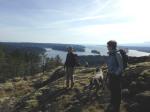
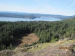
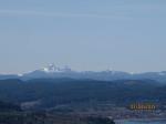
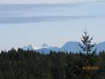
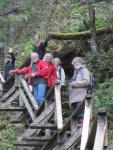
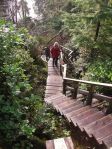
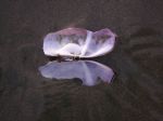
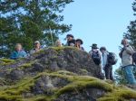
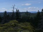
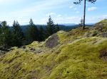
This trip was postponed to the raincheck date, which turned out to be a lovely day. Rolf and Heather welcomed the dozen hikers at their property, and Rolf had lots of information about the history and natural history of the area. He has the 1890 survey of the property and there are fruit trees from the same period. The group hiked past the Kellerhals’ garden and up through a series of mossy bluffs and intermittent forest to several great 270° viewpoints, extending from the Vancouver Island mountains across the Strait of Georgia (Salish Sea) to the mainland mountains. We had lunch at the Mt. Sweat summit and then descended by the same route until we turned off to the pond/reservoir. Along the way we saw the Sequoia trees in their experimental forest, their garden, beautiful spring deciduous trees, some old growth fir, a hummingbird, sapsucker, tree frog, a newt swimming in the pond, and an unusual worm case. Many thanks to Rolf and Heather for showing us this great area.
-
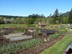
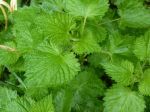
- the garden
-
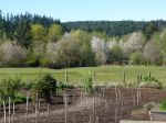
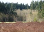
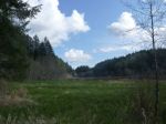
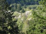
- the meadow
-
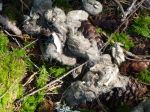
- wolf scat
-
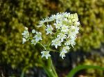
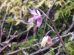
- Death Camas
-
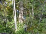
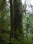
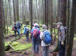
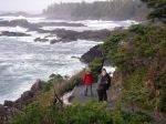
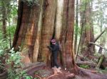
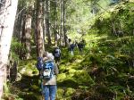
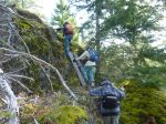
- hiking past old growth
-
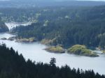
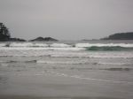
- Hyacinthe and Heriot Bays
-
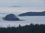
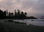
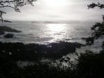
- Rebecca Spit and Georgia Strait
-
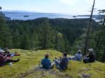
- lunch on Mt Sweat

-

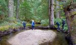
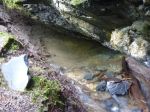
- the pond
-
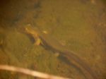
- newt swimming
-
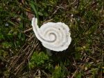
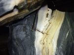
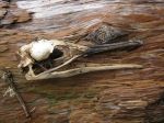
- upside-down worm case
(click on photos to view larger)