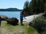
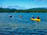
Five club members took part in a three day paddle, camp, hike in our beautiful, “backyard” playground, Main Lake Provincial Park. The flawless weather – sunny and hot – set the scene for a tremendous outing.
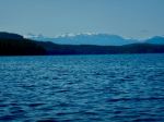
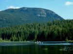
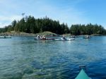
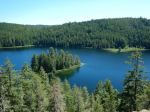
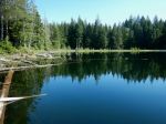
On day one we got organized at the Mine Lake boat launch and set off for the 45 minute paddle across Mine and Main Lakes in a fairly stiff breeze, to “Howard’s Site” on the north shore. After setting up our campsite we did a short walk/scramble to two nearby viewpoints. The hot afternoon sun tempted us back to the shade of our campsite and a first swim in 2023, for some of us. R and R, conversation and supper followed by a good night’s sleep rounded out the day. (Paddle 3.5 km, 1 hour; hike 1.4 km, 1 hour)
(click to enlarge photos)
-
-
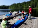
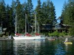
Mine Lake boat launch
-
-
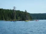
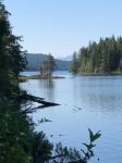
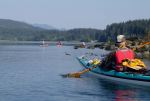
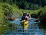
Paddling through the narrows
-
-
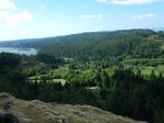
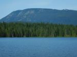
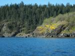
View from western bluff
-
-
View from northern bluff
-

-
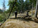
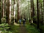
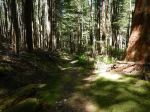
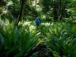
Walking through the open forest
-

-
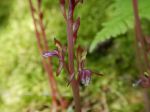
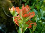
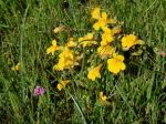
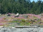
Foxglove
-
-
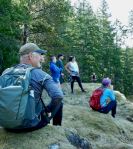
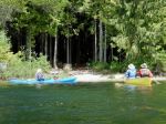
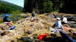
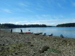
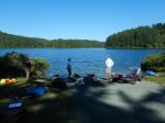
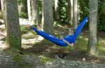
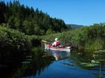
Relaxing afternoon
-
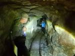
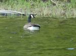
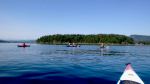
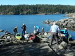
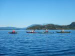
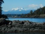
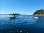
Day two started with a leisurely breakfast and the decision to paddle two lakes. Variable winds – speed and direction – and lots of sun, as we headed west to the end of Main Lake and into Shadowbrook leading to Little Main Lake. We did some fancy paddling to navigate the stream and stepped out of the kayaks to get past a shallow spot and a downed tree. Signs of beaver were evident and the air was filled with birdsong and activity. We circled Little Main Lake and then retraced our route back into Main Lake where we finally took a break after about three hours on our butts. After our lunch stop at the campsite northwest of Howard’s, we paddled on to the eastern end of the lake. BTW, we had seen only a few other people on the water and no other campers. After beaching our kayaks we set off on the Yeatman Bay hike, keeping cooler in the shade of the forest. At Yeatman Bay, due to a very low tide, we were able to add some distance to our hike by going out to the now accessible island and the reward of a much wider view of Okisollo Channel. Not a boat on the water here either!! Turning back, we made the return hike and short paddle back to our base camp – very hot, happy with the day, and pretty well played out. A swim, a beverage and snacks were well earned. (Paddle 12.2 km, 4 hours, hike 3.8 km, 1¾ hours, paddle 1 km, 19 min)
-
-
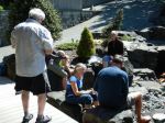
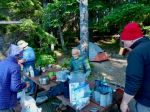
Breakfast
-
-
In the willows
-
-
-
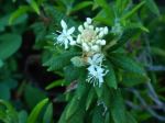
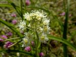
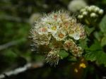
Pacific Ninebark
-

-
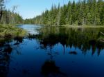
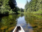
Shadowbrook
-

-
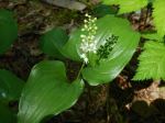
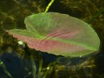
Yellow water-lily
-
-
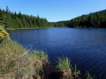
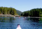
Little Main Lake
-
-
-
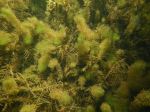
Underwater plantlife
-

-

-
Salmonberry
-
-
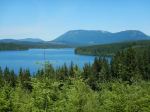
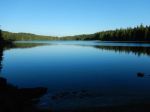
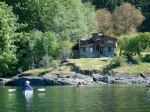
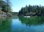
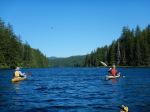
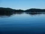
Main Lake
-
-
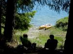
Lunch stop
-
-
Dragonfly
-
-
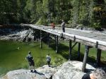
Portage trail to Yeatman Bay
-
-
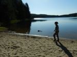
Low tide at Yeatman bay
-
-
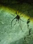
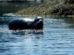
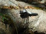
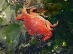
Crab
-

-
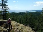
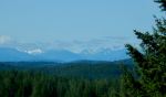
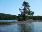
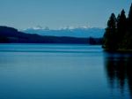
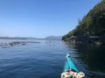
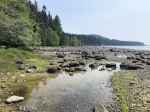
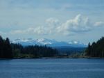
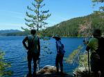
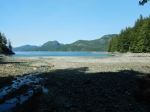
View north in Okisollo Channel
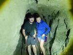
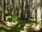
A very quiet, moonlit night ended early with the first birdsong in the wee hours of our third day. We managed to break camp and get on the water by 0830 and paddled to the lake’s eastern beach/campsite once again. This early start provided the opportunity to hike the Surge Narrows Road trail in the cool of the morning with the forest beautifully illuminated…. highlighting the big trees, lush moss, ferns, creeks, lakes. Evidence of wolves feasting on a deer in a past season was scattered on a section of the trail; evidence of timber harvests by Quadra’s pioneers were scattered throughout the forest. While resting briefly at Surge Narrows Road someone commented on the fine view of a well-maintained Quadra thoroughfare! Sometimes the journey is more rewarding than the destination. On the return hike we investigated the old squatter’s campsite on the shore of “Roscoe Lake”, opined that the “artifacts” were likely never to be removed, and then headed to the kayaks. The 50 minute paddle to the takeout on Mine Lake, with a slight headwind, completed a very successful mid-week weekend. (paddle 1 km, ¼ hour, hike 5.8 km, 2½ hours, paddle 4 km)
-

-
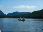
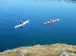
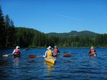
Paddling to the east end
-
-
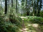
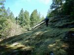
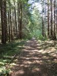
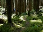
Mossy trail
-
-
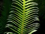
Sword fern
-
-
-
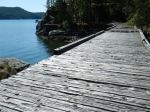
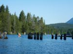
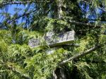
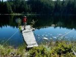
Dock at Roscoe Lake
-
-
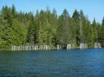
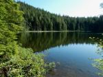
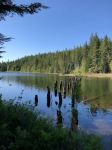
Roscoe Lake
-
-
-
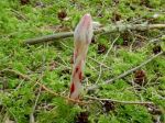
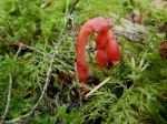
Red pinesap (saprophytic)
-

-
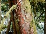
Big Douglas fir
-

-
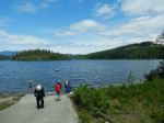
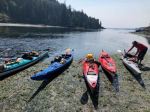
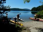
Launching to head home
Vic
Multi-day kayaking, camping – Main Lake Provincial Park – 6-8 June 2023