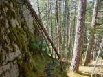
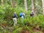
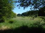
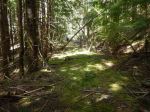
Our paddle on Monday, June 6, started from a new launch site for most of us, the end of Breton Road in Open Bay; a short downhill, a short walk avoiding the nettles, a few logs and the inevitable rocks though not as big nor as steep as at the more commonly used Valdez beach launch site. Five of us were on the water by 10:30 am. The overcast soon dissipated and the weather quickly turned from warm to hot, northwest winds gusted to about 20 knots throughout the day.
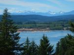
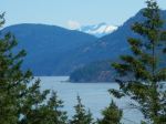
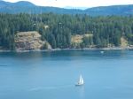
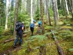
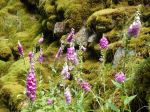
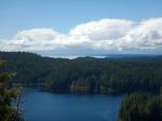
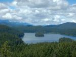
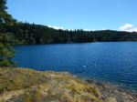
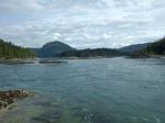
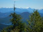
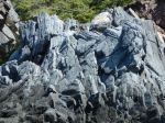
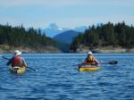
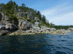
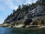
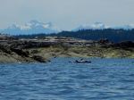
We paddled east along Open Bay shores, admiring the contorted and dramatic geology, peered into one cave, then turned north into Moulds’ Bay. The rapidly dropping tide prevented us from taking the shortcuts so we paddled through Shellaligan Pass into Hoskyn Channel, past the north Breton, then into Village Bay. The snow-dappled peaks of the Coast and Vancouver Island mountain ranges provided dramatic backdrops to the north and west.
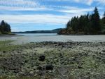
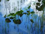
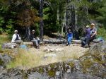
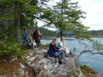
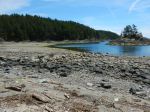
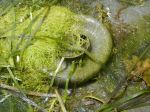
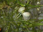
Our lunch stop, after one and a half hours of paddling was Village Bay beach where we noted the new signage posted by the We Wai Kai nation, as this is Reserve land. The very low tide revealed eel grass and its many inhabitants and the rich marine life in the intertidal zone.
After a short lunch break we were boosted on our return by a following sea pushed by the north-west winds and the flooding tide. We stayed in Hoskyn due to the very low tide, and turned west to Open Bay on the north side of the southernmost Breton. Here we stopped to admire the seals laying on their backs on rocks just above the tideline, apparently sunning their bellies. We also saw many oystercatchers and a flock of wood ducks as well as several herons, gulls, and eagles.
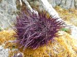
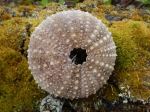
As we came into Breton Beach we could see sea urchins, pencil stars and bat stars on the rocks below. The very low tide meant a long haul up the rocky beach, the usual challenge of launching from Open Bay. We were off the water by about 2:45 pm after a hot but very pleasant paddle.
Valerie
-
-
Open Bay geology
-
-
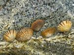
Limpets
-
-
-
-
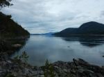
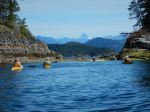
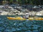
In Shellaligan Pass
-

-
-
-
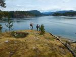
Lunch stop at Village Bay
-
-
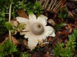
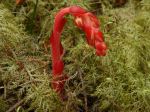
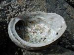
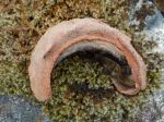
Moon Snail egg case
-
-
-
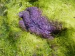
Sea Star
-
-
-
-
Seal sun bathing
-

-
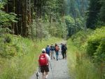
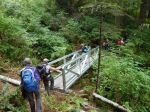
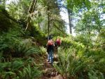
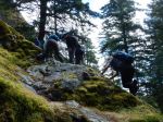
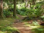
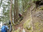
Breton Road launch site
(click on photos to view larger)
Kayaking – Open Bay – 6 June 2016