Monday, August 10
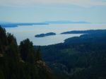
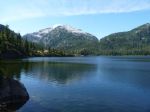
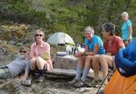
Our group of six (Debbie, Norris, Val, Sheelagh, Lonn and Darcy) launched mid-morning from Discovery Islands Lodge at Surge Narrows in sunny weather with light NW winds. (Thanks to Ralph and Lannie for permission to launch, and to leave our vehicles at the Lodge.) Paddling south toward Viner Point, we took a short lunch break on the north side of the middle King Islet – a rough ‘oyster’ beach, but some potential as a campsite. About 3 p.m. we reached our planned campsite, an abandoned homestead in the second last bay before the Point. As it was still early, some of the group suggested we continue to Lake Bay to check out possibilities there. There is a nice looking campsite at the head of the bay, but as it was occupied, we looked a little further north, then returned to the Viner Point site about 5 p.m. On the way back, we could see humpback whales spouting along the east shore of Quadra Island.
The Viner site has space for 5 or 6 tents in a grove of alders with a couple of small areas on the beach. During supper and through the night, we were entertained (or kept awake….) by fish jumping in the bay, and humpbacks spouting and breaching further off shore. 19 kilometres paddled.
Tuesday
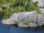
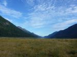
After the early morning humpback show, breakfast, and breaking camp, we launched at 9 a.m. for a beautiful low-tide paddle along the steep shores north of Viner Point. As the wind was forecast to rise to 10-20 by noon with a strong wind warning for late in the day, we took only a short lunch break at Frederic Point (a beautiful site but awkward landing on most tides). It was windy and choppy through Whale Passage, but settled down as we turned the corner and headed north along the east shore of Read Island. Crossing to South Rendezvous Island, we discovered that our hoped for campsite was occupied by a large commercial group. After some discussion, we decided to check out the site on the north end of the island (where some of us had camped in 2014) although landing is difficult except at lower tides. As we arrived at high tide with a northeast wind and rough-ish water, we landed on various ledges and hauled the kayaks well up on the rocks. The main part of the site is a rocky point open to both the east and west – scenic, but exposed. There is also space for tents at the head of the small bay in a dark but sheltered forest. The point has space for 4-5 tents, but ideally 2-3. After a calm evening, the promised wind finally arrived after dark, with most of us scrambling out of tents to batten down the hatches (and save anything hanging out to dry.) Those inclined to wake in the night reported beautiful phosphorescence in the breaking waves. 23 kilometres paddled.
Wednesday
The wind was still blowing on Wednesday a.m. With the challenge of launching boats into the waves and wind, most of us elected to spend the day ashore. Lonn decided to head home, leaving about 9:30. Debbie and Norris, who had landed in a slightly more sheltered spot, took an afternoon paddle around the Rendezvous group, while Val, Sheelagh and Darcy read, snoozed, snacked and chatted until the tide rose sufficiently to move boats around to the head of the bay for launching in the morning.
Thursday
After hauling gear over the rocks, and carrying kayaks over logs and slippery boulders, we launched at 10 a.m. en route to White Rock passage. Sunny, winds light NW. Uneventful paddle back to the Lodge apart from some lively currents near Beazley Passage. Landed at 12:45. 13 kilometres paddled.
Total trip length – 55 kilometres.
Overall, it was a great trip with excellent weather and wildlife viewing. The main challenge is the scarcity of campsites in the area, which makes it difficult to plan an optimal day’s paddle.
Darcy Mitchell, coordinator
-
-
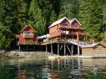
Discovery Islands Lodge
-
-

-
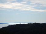
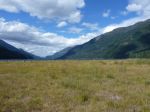
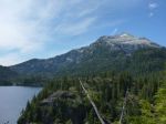
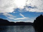
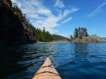
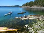
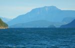
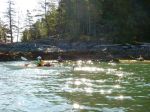
Heading south in Hoskyn’s Channel
-
-
-
-
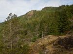
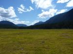
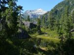
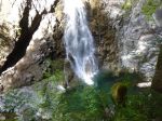
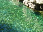
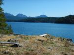
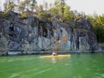
Read Island Provincial Park
-
-

-
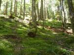
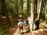
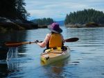
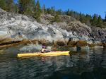
Approaching Viner Point campsite
-
-
-
-
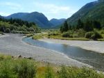
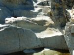
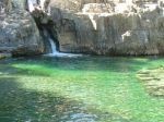
Frederic Point at low tide
-
-
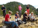
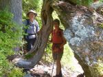
Frederic Point lunch stop
-

-
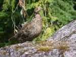
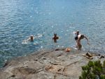
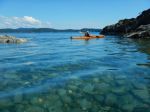
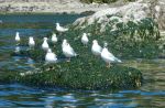
Harbour seals
-
-
-
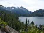
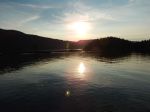
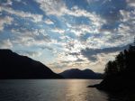
Sunset from campsite at N end of S Rendezvous Island
-
-
-
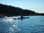
Not so “Calm Channel” on Wednesday morning
-
-
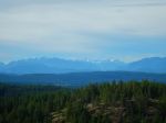
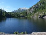
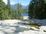
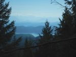
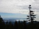
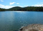
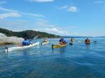
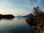
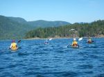
North Rendezvous Island
-
-
-
-
Drew Passage
-
-

-
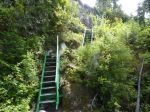
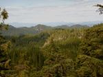
The west end of Whiterock Passage
(click on photos to view larger)
Kayaking – Around Read Island – 10-13 August 2015