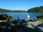
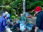
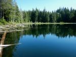
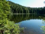
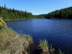
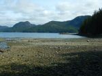
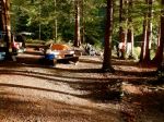
This trip used the road-accessible Rec Site on Amor Lake for greatest flexibility. Of the six people who participated, some stayed three nights, two nights, one night or just one day. It certainly isn’t the best campsite on Amor Lake, but it has some conveniences. We were incredibly lucky with the beautiful autumn weather, since the trip was planned long in advance.
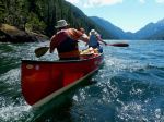
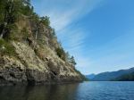
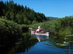
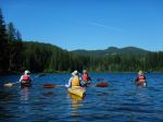
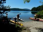
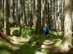
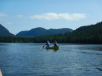
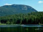
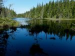
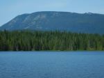
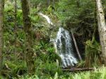
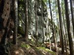
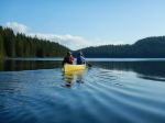
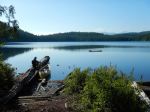
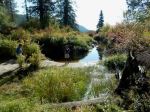
Friday: Two came out on Thursday and set up camp. Three others arrived on Friday morning and all launched as soon as possible. We headed out to the south end of Amor and hauled out at the Mr. Canoehead campsite. We navigated the short portage to Surprise Lake with the assistance of borrowed wheels for the kayaks and paddled across Surprise Lake as if we were doing the canoe circuit. We left the boats at the south end of Surprise Lake and walked the 2.2 km portage to Brewster Lake through a lovely forest. We had lunch at the launch site into Brewster Lake before retracing our steps and paddled back to the campsite by mid-afternoon. We walked down the Blackwater Main logging road to visit the Rec Site on Blackwater Lake, which was sunny and scenic. After relaxing on the shore, we headed back for dinner and enjoyed a great campfire, as the ban had just been lifted during the week and the evenings were cool. The full moon was a bonus. (paddling 5.2 km, 1¼ hr; walking 8.3 km, 2½ hr)
(click to enlarge photos)
-
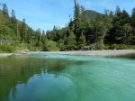
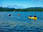
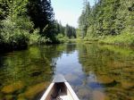
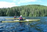
- Launch at Surprise Lake
-

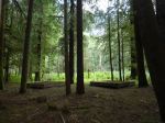
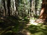
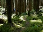
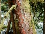
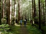
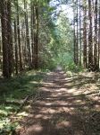
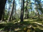
- Portage trail to Brewster Lake
-
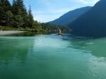
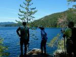
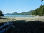
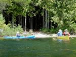
- Launch site at Brewster Lake
-

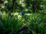
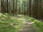
- Walking back to Surprise Lake
-

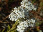
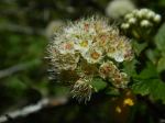
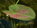
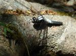
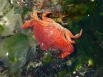
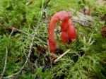
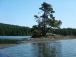
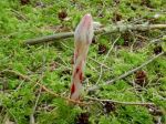
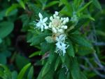
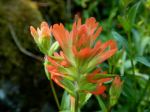
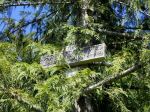
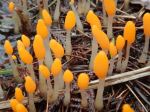
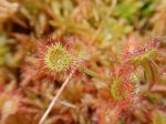
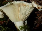
- Amanita muscaria
-
- Campsite at Blackwater Lake
-

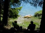
- Campfire at Amor
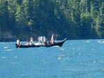
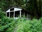
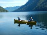
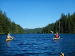
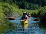
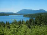
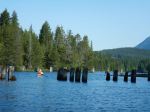
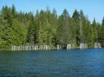
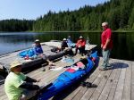
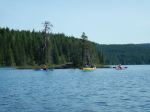
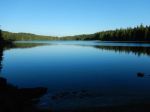
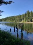
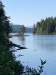
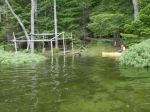
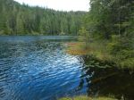
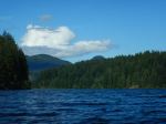
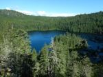
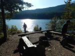
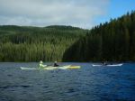
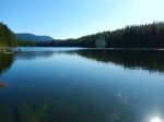
Saturday: We were joined by one more person on Saturday morning and were quickly away, heading north and across Amor Lake to the portage to Twin Lakes. The launch site was quite muddy, but we managed awkwardly to get to the trail and walk up the undulating path to Twin Lake. The campsite there, which is accessible by road, was very busy on this long weekend with great weather. We briefly followed a trail up the north side of Twin Lake to a swim rock before heading back. After returning to Amor Lake, we stopped for lunch at the first campsite we passed, which was on the north shore and had a beautiful sandy beach and lots of sunshine. Continuing on, we came out of the east arm of the Lake and headed to the campsite at the north end, which has significant infrastructure. We admired the dock with the picnic table as well as the covered shelter, but especially the sandy beach, sun-facing direction and great view. We headed south along the western shore exploring the many campsites and sandy beaches along the way. On our return to the campsite, two of the group packed up and left, leaving four others to enjoy another relaxed evening around the campfire. (paddling 13.1 km, 3¼ hr; walking 2.5 km, ¾ hr)
-
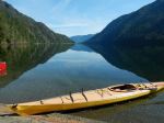
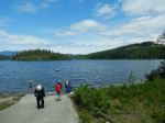
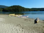
- Amor Lake campsite
-
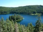
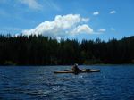
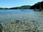
- Twin Lake
-

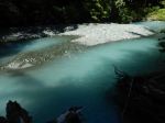
- Twin Lake swim rock
-
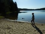
- The lunch beach
-

- Arriving at the north Rec Site
-

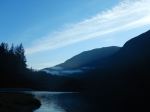
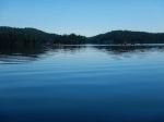
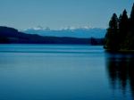
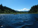
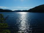
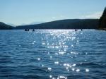
- Looking south down Amor Lake
-

- The shelter
-

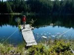
- The floating picnic table
We saw four of the Sayward canoe circuit lakes on this brief two-day paddle. It was an easy and relaxed exploration. We only encountered four other boats on Amor. This was a fitting end to the season, having begun in May with an outing to Morton Lake Provincial Park and paddling on two other Sayward canoe circuit lakes – Mohun and Goose. We had beautiful weather for both trips and enjoyed the relative quiet of the shoulder season.
Debbie
Multi-day kayaking and camping – Amor Lake – 29-30 Sept. 2023