This trip is FULL. You may call the coordinator to be put on the wait-list.
| Activity | Three days of hiking |
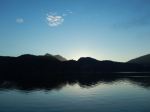
| Destination | Salt Spring Island |
| Date | 30 Jan – 2 Feb 2017, Monday to Thursday |
| Trip Coordinator | Margot Wood |
| Contact Info | margotw@gicable.com or phone 250.285.2393; please contact the coordinator as soon as possible; the deadline for committing to this trip is December 29. |
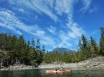
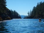
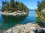
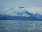
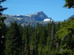
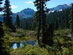
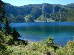
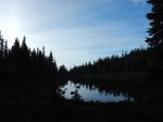
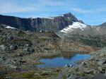
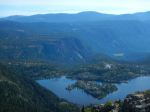
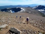
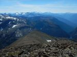
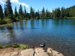
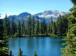
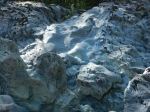
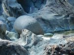
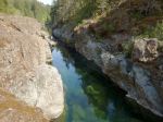
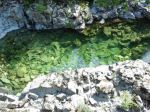
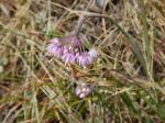
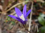
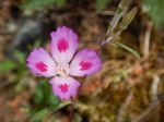
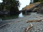
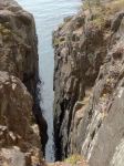
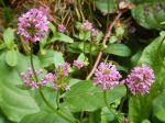
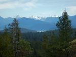
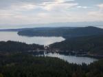
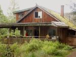
| Description | Staying three nights at a rental property on Salt Spring Island, hiking each day. We will check into the rental property & get settled. Off to hike. There are a number of hiking trails on Salt Spring Island, the most popular trails are in Maxwell Park. Maxwell Park is the second highest point on SSI. It rises about 595 metres, with a sheer drop on one side. the view can be quite spectacular. There is a network of trails within the park, one can drive into the park or walk up. Mt. Baker can be seen to the east, on a very clear day. There is also a network of hiking trails at Ruckle Park down in the southeast corner of SSI. A spectacular trail that goes to the shore at Yeo Point, lots of bird life on the water. There are some lovely hiking trails in Mouat Park, right in Ganges. Another addition is the Quarry Park Trail in Vesuvius, the trail takes you down to the waters edge. The Dunbabin Trail meanders through the forest in Dunbabin Park, an easy trail, a few stairs along the way. We will probably run out of days, not hiking trails. We will divide the dinners amongst us and be responsible for our own breakfasts and lunches. Car-pooling will be organized. Salt Spring Island Hiking Trails: http://www.saltspringmarket.com Click on Hiking Trails & Map. |
| Meeting Place | Quathiaski Cove, ferry line-up |
| Departure Time | 9:00 am sailing, be early in case of overload. |
| Difficulty | Easy to Moderate. |
| Cost | Accommodation approx. $65-$70 p. night, depending on number of persons attending. Ferry costs. Gas. |
| Trip limits | Eight people. Deadline booking is 29 Dec 2016. Full payment will be required on that date. |
| Dogs? | No |
| Notes: | Salt Spring Island Hiking Trails: http://www.saltspringmarket.com Click on Hiking Trails & Map. |