| Activity | Hiking |
| Destination | Forbidden Plateau Loop, Strathcona Park |
| Date | 18 Sept, Wednesday |
| Trip Coordinator | Louise Squire |
| Contact Info | lsquire@sasktel.net |
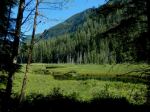
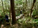
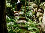
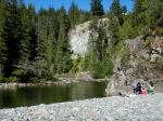
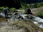
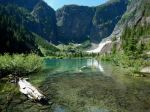
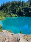
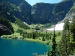
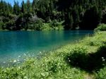
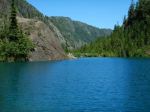
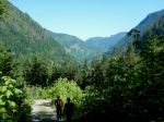
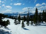
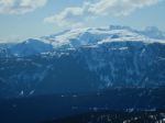
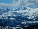
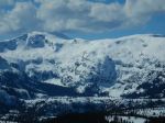
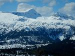
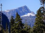
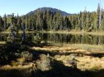
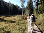
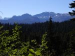
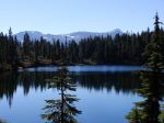
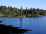
| Description | Due to longer hike, we will be meeting at the Q-Cove parking lot to ensure we are on the 8:30am ferry to travel Mt Washington. We will be starting at Raven Lodge. While there are actually three potential loops, we will be taking the larger loop through Paradise Meadows, past Battleship Lake and carrying on past Croteau Lake and eventually making our way around Kwai Lake and back to Raven Lodge. September should be a beautiful time to enjoy the lower temperatures and fall colours. There will be 2 or 3 km to the west of Helen Mackenzie Lake that will be harder, so the decision of which way we decide to complete the loop will be finalized once we have arrived. Bring lots of water and a lunch and snack as the trip will be about 6-7 hours, plus driving time and 18km. |
| Meeting Place | Q Cover Ferry Terminal |
| Departure Time | 8:30 am ferry departure time |
| Difficulty |
Moderate for long day and elevation |
| Costs | Ferry costs and shared fuel |
| Trip limits | 10 |
| Dogs? | No |
| Notes: | Car pooling to be organized in advance to limit vehicles and costs. Please let me know if you will be driving or if you would like to carpool with someone else. This trip is weather dependent. |
Category Archives: Strathcona Park
Trip Report – Gold River Area – 15-17 July 2024
Day 1: There were six of us for the hikes to the Upper and Lower Myra Falls in Strathcona Provincial Park. We had a beautiful, but very warm day, and enjoyed the drive out along the Upper Campbell and Buttle Lakes. We started hiking at 11:30 and made our way along the well maintained trail through a mature forest and occasionally large boulders, arriving at the Upper Falls within an hour. The falls had lots of water pouring through. We had lunch near the end of the trail and then headed back down. (7.4 km; 1.5 hours; 220m elevation gain)
(Click on photos to enlarge)
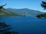
- Upper Campbell Lake
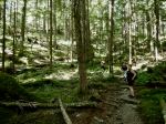
- Trail to Upper Myra Falls
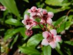
- Pink Wintergreen
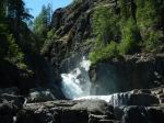
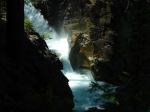
- Upper Myra Falls
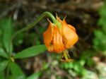
- Columbia Lily
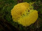
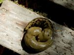
- Dog-vomit slime mold
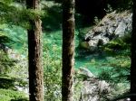
- Myra Creek
We drove a short way to the Lower Myra Falls parking area. The hot weather made this a popular and busy destination. We walked down to the viewpoint and then out to the falls. While we had seen no one on the Upper Falls trail, there were lots of people here. These falls are more accessible and very beautiful, but completely different from the upper falls, with a series of smaller cascades and wide open rocks to get close to the water. We left without swimming. (1.4 km; 0.75 hours; 60m elevation gain)
- Lower Myra Falls from the viewpoint
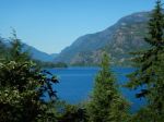
- View across Buttle Lake
Four of us continued on to Gold River and set up camp at three neighbouring sites along the Gold River. It was lovely, shaded and peaceful.
Day 2: We had an intentionally leisurely start and some of us explored the trails from the campground along the river in the early morning. We began hiking around Antler Lake shortly after 10:00 on an even hotter day than Monday. This well-constructed trail has quite a lot of variety with lake views, boulder fields, quirky trail decorations and truly impressive old growth trees. We took our time to appreciate all that it had to offer. (4.3 km; 1.75 hours; 100m)
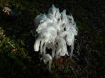
- Ghost pipes
- The Gold River
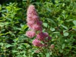
- Douglas spirea
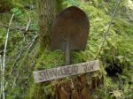
- Trail marker
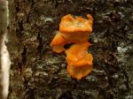
- Orange tree fungus
- Antler Lake wetlands
- Zoe’s bench
- Big Douglas fir
- Slug cuddle
- Antler Lake
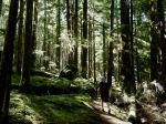
- Old-growth trees
We had lunch at a picnic area by Antler Lake and then drove out to the Upana Caves stopping at the Cala Creek Falls for the view. There are fives caves in the Upana Cave system. The trails between them are quite short. The maps are very interesting, but not always easy to visualize once you are in the cave. We visited all the caves, but did not have the enthusiasm for slithering in the mud or getting very wet. We missed some of the loops in the caves inadvertently. (0.8 km; 1.75 hours) It was 33° C on the drive back to Gold River and we were happy for our shaded campsites. There was some exploration to a swimming area on the Gold River in Peppercorn Park, used by locals.
- Main Cave
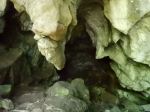
- Corner Cave
- Resurgence Cave
- Swimming beach on the Gold Rvier
Day 3 – We mostly headed home, but three of us hiked the short walk from the Gold River bridge to the junction with the Heber River and up along the Heber Gorge, which is quite impressive. The trail is unmaintained, but has a chainlink fence along much of the way where the trail is narrow and exposed. (2.9 km; 1.25 hours; 85m elevation gain) On the way home we stopped for photos on the Upper Campbell Lake and for lunch at the Echo Lake Rec Site.
- Heber River
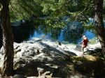
- Heber River Gorge
- Elkhorn and King Peaks
- Old trestle at Echo Lake Rec site
There was at least one new area to explore for everyone that came on this trip. The weather was photogenic, if hot, and there was great variety with the varied falls, the lakes, beautiful forests and fascinating caves. There is lots to explore near to us on Vancouver Island.
Debbie
Multi-day Hiking, Camping – Gold River area – 15-17 July 2024

Trip Report – Century Sam Lake – 13 July 2024
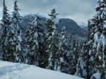
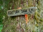
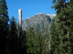
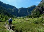
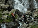
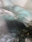
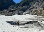
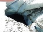
Five of us hiked to the picture postcard called Century Sam Lake. It’s named after a character that Sid Williams played. Must have been quite a character to have a lake like this named after him. We wanted to hike to it when it was in full sunshine, to show off the deep blue-green. The trade off was that it was very hot. But the crowd that was there was fully into swimming and diving off cliffs, so it was perfect weather – cloudless, a bit of breeze. The Lake is located below the Comox Glacier. This contributes to the other attraction of this hike which is the ice cave. It wasn’t as good as on a previous trip, maybe too early in the season, but still very interesting. And the wildflowers were excellent.
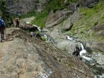
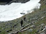
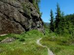
The Lake is in Strathcona Park, but the approach is not. Trail maintenance is ambiguous, but someone had just clipped the aggressive brush, including Devil’s Club, so that was good. The route is rough everywhere and steep in the headwall up to the Lake. The access to this trail is on a logging road through Mosaic lands and the gate is only unlocked on weekends and only when Mosaic is not logging and the fire danger is low. We timed it well, so all was good. (11.3 km; 7.5 hours; 423 m elevation gain)
Norris
Thanks to Louise, Jim and Norris for the photos
(click on photos to view larger)
- The log bridge
- Arriving at the Lake
- The creek crossing
- Century Sam Lake
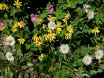
- Alpine wildflowers
- Another creek crossing
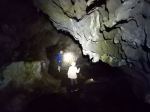
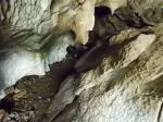
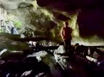
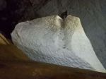
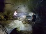
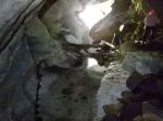
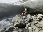
- Peaking into the ice tunnel
- Peaking into the hole in the ice
- Starting back down
- Waling the logging road
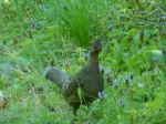
- Grouse
Hiking – Century Sam – 13 July 2024
Updated!
| Activity | Hiking |
| Destination | Century Sam Lake |
| Date | 13 July Saturday; this date is still somewhat tentative for weather and for Mosaic’s announcement on Thursday about the gate opening. |
| Trip Coordinator | Norris Weimer |
| Contact Info | norris.weimer@ualberta.ca; 250-285-3710. Please let the coordinator know if you are interested by Wednesday, 10 July. |
| Description | This trip is hard to schedule because it needs good weather and the access is through a gate which is only unlocked for 12 hours on Saturday and on Sunday. Once passed the gate, the access is via a logging road which eventually has water bars. The hike itself is on a heavily used, but not really maintained trail. The creek crossings are on logs. To the lake is about 8.3 km (return) and 400m elevation gain; to the ice caves is about 13.6 km (return) and 570m elevation gain. The hiking time may be about 7 hours. The trail will likely be very busy. |
| Meeting Place | QCove ferry terminal |
| Departure Time | 7:00 am ferry |
| Difficulty |
Challenging for the length of the day, elevation and altitude gain. |
| Costs | Ferry, shared fuel costs. |
| Trip limits | Limits may depend on the vehicles going. |
| Dogs? | No |
| Notes: | We will not do this trip in poor weather. This is a long day. Come prepared for mountain conditions. |
Trip Report – Mt. Washington – 6 Mar 2024
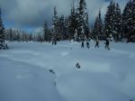
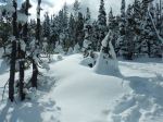
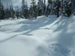
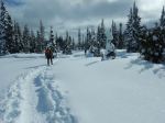
With eight participants and modest ambitions, we started out on Tree Beard’s Trail, enjoying the slight rise to a viewpoint on a bluff. We continued on the Crooked Creek Trail, stopping for lunch in the open, overlooking the snow-covered Paradise Meadows. When that trail turned back, we decided to extend the outing by using the Old Cabin Loop as a connector back to the Tree Beard’s Trail. From there we retraced our route back to Raven Lodge. Half of the group stayed a bit longer to socialize at the Lodge.
This was a beautiful day with perfect conditions. (4.4 km, 2¼ hours)
Debbie
(click on photos to view larger)
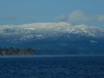
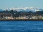
- Mt. Menzies from the ferry
- At the bluff
- Banded Whiskey Jack
- Making a lunch spot
Trip Report – Mt. Washington – 23 Jan 2024
Debbie
(click on photos to view larger)
Trip Report – Mt. Washington & Mt. Elma – 22 Mar 2023
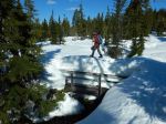
Except for one thing. The trail to Lake Helen Mackenzie crosses a stream on a bridge. The bridge was packed with snow, up to about a metre above the hand rail. It was well packed, but too narrow for snowshoes. And there was no way to avoid it since the stream was open. We crossed it, but once was enough, so we came back the Battleship Lake route. It also has a stream crossing with a snow-packed bridge. That one felt much safer, but it looked as if it might collapse sooner or later.
Norris
(click on photos to view larger)
- Ferry to Vancouver Island
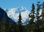
- Mt. Albert Edward
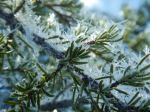
- Frost crystals
- Crossing the sketchy bridge
- Lake Helen Mackenzie
- Coming out on the Mt. Elma ridge
- Mt. Albert Edward & Regan
- Mt Frink
- Mt Elma ridge
- Comox Glacier
- Castlecrag and Mt. Frink
- Mt Frink and ridge
- Mt. Albert Edward and Regan
Trip Report – Mt. Washington – 8 Feb 2023
Valerie van Veen
Thanks to Valerie for the photos
(click on photos to view larger)
Snow – Mt. Washington – 8 Feb 2023
This outing was originally scheduled for the week of January 18th
| Activity | Snowshoeing |
| Destination | Mt. Washington nordic |
| Date | 8 Feb |
| Trip Coordinator | Valerie van Veen |
| Contact Info | Vvv@qisland.ca, 250 285 2329; 778 242 5774 |
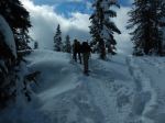
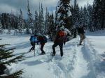
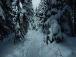
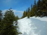
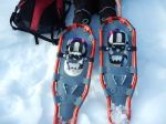
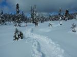
| Description | Never snowshoed and would like to try, or want to get back into winter sport mode… this trip to the Paradise Meadow trails at Mt Washington is for you. These trails are all maintained, tracked (thus the charge) and well-signed so all we have to do is enjoy ourselves. The trails wind through woods and over the meadows, with beautiful views to the surrounding mountains, and vary from easy and mostly flat to more hills. We will start with the easy trail, doing more if/as the group wishes. Weather permitting, we will stop for a lunch break on the trail, bring lunch and a waterproof sit-upon as we will be sitting in snow. And be sure to bring water…snowshoeing at altitude is a good workout, even on the easier trails. Snowshoe rentals and a cafeteria at Raven Lodge, the Nordic centre. Bring poles if you wish. Expect to be back on the 4:30 ferry. |
| Meeting Place | QI Ferry terminal, carpooling to be determined |
| Departure Time | 9 am ferry *** note new schedule will be in effect on the 18th! |
| Difficulty |
Easy trail to start |
| Costs | Transportation costs and trail pass, adult $13, Snowshoe rental, full day, $21. |
| Trip limits | None |
| Dogs? | No |
| Notes: | MUST confirm interest in this trip by Monday Feb 6 at 5 pm. If you are renting, consider booking ahead on the Mt W website (call me if you have trouble navigating their site) You will need waterproof, comfortable boots or hiking boots and gaiters, or you can rent gaiters as well. Bring your own poles if you wish. Please contact me if you have not snowshoed , or have not snowshoed at Mt W, before and have any questions or concerns about this trip. |
Trip Report – Forbidden Plateau – 21 Sept 2022
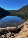
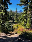
Four enthusiastic hikers enjoyed an absolutely perfect Fall Equinox Day as we hiked in Paradise Meadows/Forbidden Plateau. Our ultimate destination was Kwai Lake, via the circle route through Paradise Meadows and past Lake Helen Mackenzie. Taking the 8 am ferry, we were on the trail by 9:20 am.
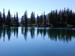
We enjoyed a pleasant break at Lake Helen Mackenzie with stunningly beautiful reflections of the surrounding hills. Debbie had wisely suggested we go counter-clockwise, as we always seem to go clockwise when hiking in this area. Even though this meant going uphill on the dreaded “Helen Mackenzie headwall”, it was still better than stumbling down the steep, rooty, eroded trail at the end of a long hike.
We were not the only ones enjoying the early autumn sunshine, as the number of cars in the parking lot attested. We encountered several backpackers on their way out, two school groups camping in the backcountry group camps, and many day-hikers like ourselves. At Kwai Lake we found a quiet grassy area on the southwest shore for lunch, away from a large school group taking their break on the rocky outcropping on the opposite shore. After lunch, we completed the circle, passing Croteau, Lady, Kooso and Battleship Lakes. Some sections of this circle route are boardwalk, protecting wetlands and tree roots, the rest varies from pleasant forest paths to very eroded, rooty trails. About 6½ hours, approximately 17 km.
Valerie van Veen
Thanks to Valerie and Norris for the photos
(click on photos to enlarge)
- Mt. Albert Edward
- Paradise Meadows
- Lake Helen Mackenzie
- Sub-alpine on Forbidden Plateau
- Kwai Lake
- Castlecrag and Mt. Frink
- View across Croteau Lake
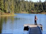
- Battleship Lake
- Battleship Lake
- Dock at Battleship Lake