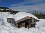
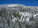
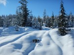
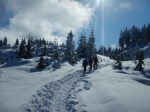
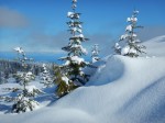
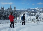
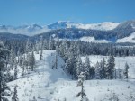
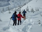
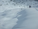
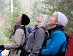
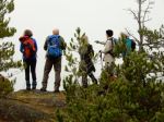
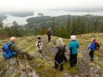
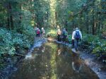
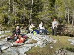
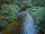
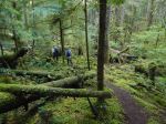
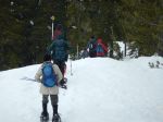
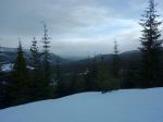
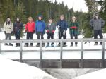
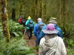
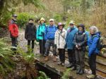
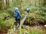
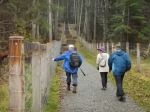
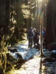
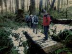
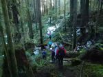
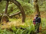
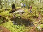
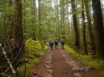
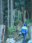
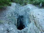
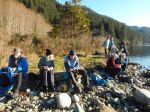
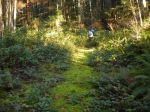
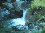
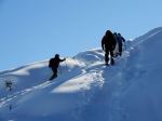
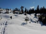
Six of us had another spectacular snowshoe outing to Rampart Hill. The snow and sunshine have persisted with the arctic high. There was a cool breeze, but it was warm in the sun. We had a few clues about the location of a hut from previous outings, and we thought we would go look for it. We climbed steeply up the open bluffs above the parking area and enjoyed the great views. We followed the broken trail, undulating and meandering through the knolls in the open. We stopped for lunch in a sunny, sheltered spot where we were joined by at least six Canada Jays. We noticed a number of people visiting the next knoll south of us and decided that must be where the hut was. So we found it perhaps by luck. After checking out the hut, we descended to a snow-covered logging road and made a loop back to the vehicles. 4.6 km; 2¼ hours.
Debbie
Thanks to Norris and Les for the photos
(click on photos to view larger)
-
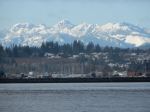
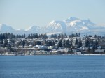
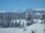
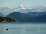
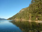
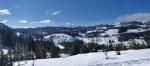
- Campbell River & Vanc. Island mountains
-
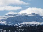
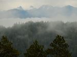
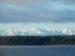
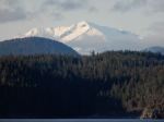
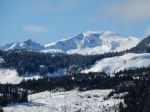
- Comox Glacier
-
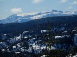
- Castlecrag & Mt. Frink
-
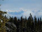
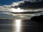
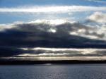
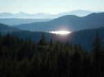
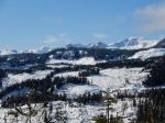
- Mainland mountains

-
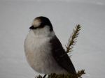
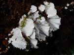
- Canada Jay
-
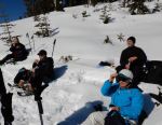
- Lunch break
-
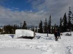
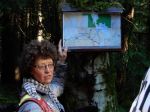
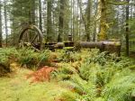
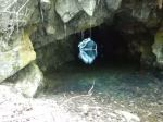
- The hut