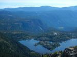
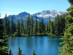
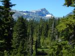
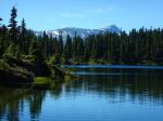
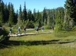
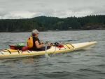
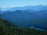
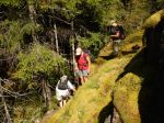
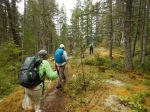
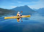
Our paddling trip got off to a slightly rocky start with an overload on the 9:05 ferry to Cortes and a further delay on the next sailing. Eventually, however, we launched at Squirrel Cove about 1:30 and headed for the Curme Islands. We were a bit anxious about finding camping space as two commercial outfitters had trips in the same week and we knew that the Curmes are a popular destination. Fortunately, East Curme was ‘vacant’ and, with four tent pads and a comfortable kitchen area, was exactly right for our group. After supper and a dramatic moonrise, we headed for our tents and set out the next morning for Prideaux Haven. The weather was perfect, calm and sunny and we had a lovely paddle to Laura Cove where we stopped for lunch, and then explored Prideaux Haven and Melanie Cove, returning to camp about 3:30. We faced some patchy headwinds in the afternoon – very localized (apparently to wherever we were paddling). After a short tea and rest break, four of the group headed over to Tenedos Bay for a “tour de Tenedos”. The moon was even brighter on Thursday evening despite some light cloud cover.
We had hoped to stay out until Saturday, but the forecast promised rain and wind, so we packed up Friday morning for the return trip, arriving at Squirrel Cove about 15 minutes before the rain started in earnest. Fortunately, the ferry back was not crowded, and we easily caught the 1:50 to Quadra.
All in all, a short but very enjoyable trip. Over the two half days and one full day, we paddled 54.5 kilometres.
Darcy
-
-
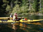
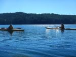
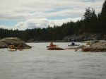
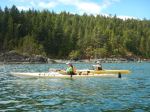
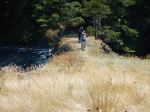
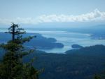
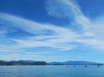
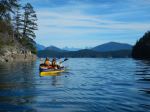
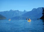
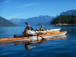
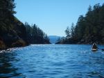
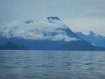
Crossing Lewis Channel
-
-
-
-
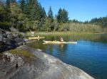
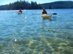
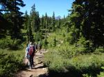
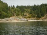
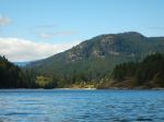
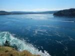
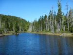
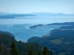
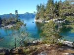
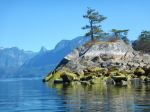
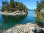
Channels between the Curme Islands
-
-
-
-
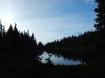
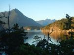
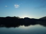
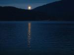
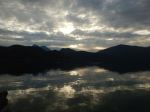
Sunrise
-

-
-
-
-
-
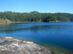
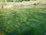
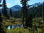
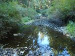
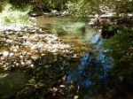
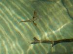
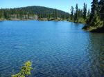
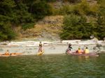
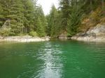
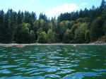
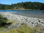
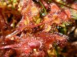
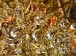
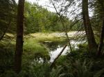
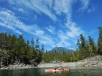
Shallows in Prideaux Haven
-
-
-
-
-
-
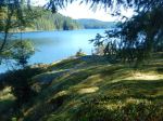
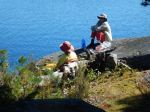
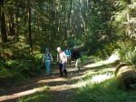
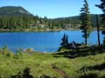
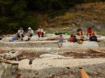
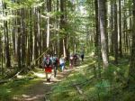
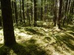
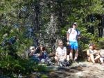
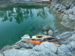
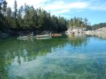
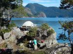
the campsite
-
-
-
-
-
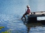
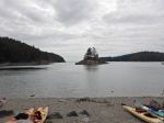
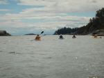
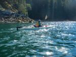
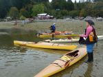
Back at Squirrel Cove
(click on photos to view larger)
Multi-day Kayaking – Desolation Sound – 14-16 Sept 2016