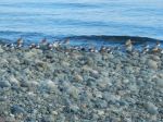
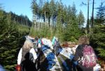
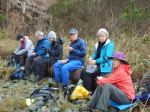
Such a wonderful time hiking the trails on Salt Spring Island, each day we experienced the gorgeous sunshine. Seven hikers from Quadra attended and all declared it was a lovely happening. We arrived on SSI just after noon on the 30th Jan, checked into the beautiful century home on the edge of Ganges. First hike, we drove to Ruckle Provincial Park down in the southeast corner of SSI. The trail took us along the rocky shore, bird life on the water, baby lambs in the field. We completed the trail loop of 6.8km; 2⅓ hours. We toured the heritage farm. This land was donated to the province by the Ruckle family, who still farm parts of the property. Returned to Ganges, some returned to the house and others looked into Ganges. A delicious dinner at night prepared by the first team of hikers.
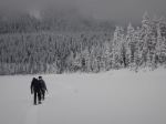
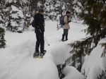
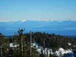
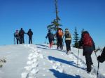
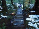
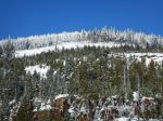
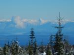
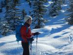
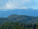
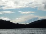
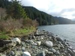
Day two, started with a healthy breakfast and off to Mt Maxwell Provincial Park. We drove to top of Mt Maxwell; it rises about 595 metres. A spectacular view to Burgoyne Bay below, across to Vancouver Island, the beautiful Fulford Valley, Mt Baker and also Mt Rainier at 4,392 metres, both clothed in sparkling snow. The loop we hiked was again spectacular with lots of viewpoints, views over to Vancouver and beyond. (6.6 km; 3½ hours) We then hiked the trails at Burgoyne Bay to Daffodil Point, a few houseboats in the bay. (3.2 km; 1 hour) Returned to Ganges later in the afternoon in order to give us a little time to look at the shops in Ganges. Another delicious dinner at night prepared by the second team.
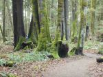
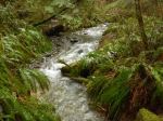
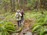
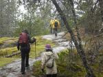
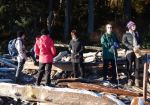
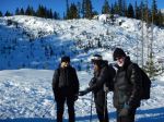
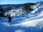
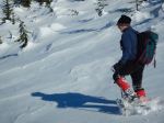
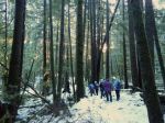
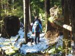
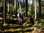
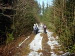
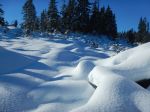
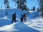
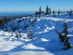
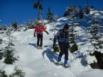
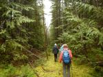
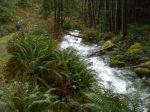
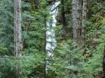
Day three, started with breakfast and then drove to the north picking up the Channel Ridge Trails. This 15km trail system with some challenging sections, beautiful arbutus groves that took our breath away. Some workouts that made us ready for our lunch on the trail. Some pretty view points, however, most were hidden by tree tops. (7.2 km; 3 hours) We then drove to the Andreas Vogt Nature Reserve, a beautiful experience with a number of glorious Garry Oak Groves, many younger Garry Oaks were protected from deer etc. This was truly one of our favourites. (2.6 km; 1½ hours) At night we decided to eat at Moby’s Pub, joining the locals in good food and music.
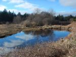
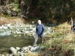
Day four, started with breakfast, packed up our belongings and cleaned. Most then drove to walk at Duck Creek Park, a shaded creek with a lovely open meadow providing a sweet 40 minute walk. Onto the ferry line-up at Vesuvius in order to take us across to Vancouver Island.
This was indeed a wonderful four days on Salt Spring Island. What made it so wonderful would be that each day was filled with sunshine, a great group of hikers, the beautiful heritage home on the beach, the delicious food and fantastic trails and views. Lets do it again!
Margot
See below the photos for the bird list. Note Peregrine Falcon!
(click on photos to view larger)
-
-
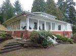
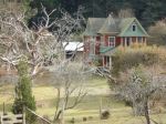
The heritage home
-
-

-
-
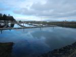
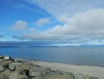
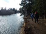
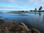
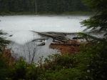
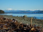
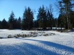
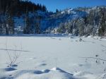
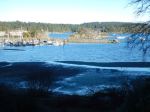
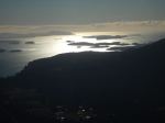
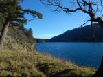
View of Ganges Harbour
-
-
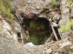
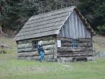
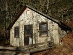
The historic Ruckle home
-
-
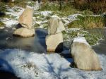
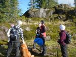
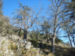
Ruckle Park
-
-
Ruckle Park
-
-
Old farm buildings
-
-
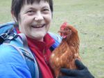
Friendly local chickens
-
-
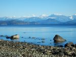
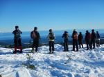
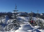
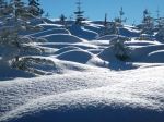
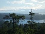
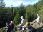
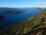
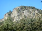
Views from Mt. Maxwell toward Vancouver Island
-
-

-
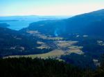
Windy Burgoyne Bay
-
-
View southeast
-
-
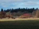
Fulford Valley
-
-
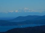
Mt. Baker
-
-
Trail in Burgoyne Park
-
-
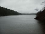
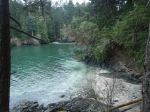
Burgoyne Bay
-
-
Garry Oak at Daffodil Point
-
-
-
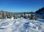
Mt. Maxwell
-
-

-
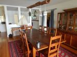
An excellent dinner
-
-
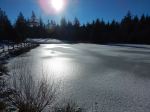
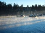
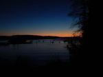
Dawn at Ganges Harbour
-
-
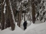
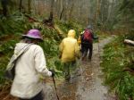
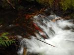
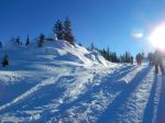
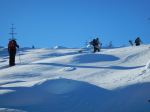
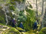
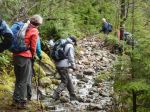
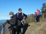
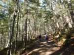
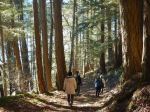
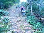
Steep section of Channel Ridge
-
-
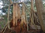
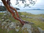
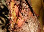
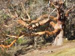
Arbutus bark
-
-
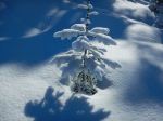
Arbutus tree
-
-
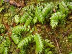
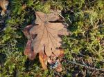
Garry Oak leaves
-

-
Garry Oaks
-
-
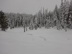
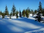
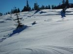
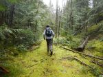
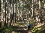
Channel Ridge trail
-
-
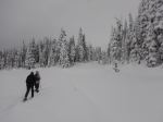
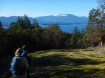
View toward Vancouver Island
-
-
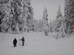
Garry Oak in Andreas Vogt Nature Reserve
-
-
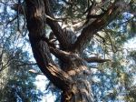
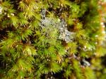
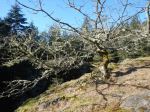
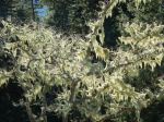
Lichen covered tree
| Song Sparrow |
Chestnut-sided Chickadee |
| Common Merganser |
Hooded Merganser |
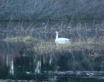
| Trumpeter Swan |
Golden-crowned Kinglet |
| Bufflehead |
Common Goldeneye |
| Common Raven |
Bald Eagle |
| Mew Gull |
California Gull |
| Glaucous-winged Gull |
American Wigeon |
| Dark-eyed Junco |
Double Crested Cormorant |
| Northwest Crow |
Pacific Wren |
| Black Oystercatcher |
American Robin |
| Peregrine Falcon |
Turkey Vulture |
| Red Crossbill |
Spotted Towhee |
| Red Breasted Sapsucker |
Red Breasted Nuthatch |
| Belted Kingfisher |
European Starling |
| Northern Flicker |
Hairy Woodpecker |
| Grouse |
Varied Thrush |
Multi-day Hiking – Salt Spring Island – 30 Jan – 2 Feb 2017