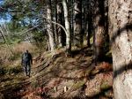
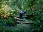
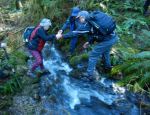
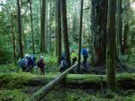
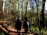
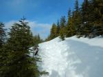
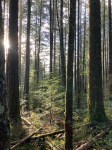
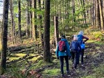
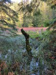
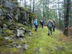
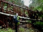
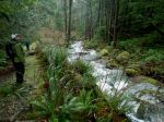
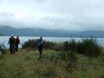
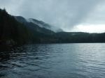
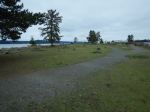
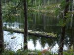
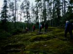
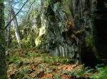
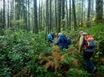
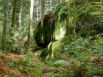
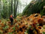
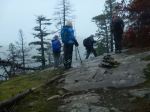
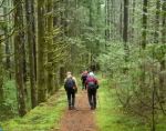
Monday was a beautiful day, neatly fitted in between the rainy days and the snowy days. Most of the usual suspects were elsewhere on vacation, but three of us had a great and productive work party, clipping salal, clearing deadfall up the North Chinese Mountain trail. At the top we made a new side trail to a great viewpoint facing north and west. We removed some deadfall and brush, smoothed some rocks and then enjoyed the 180° view, with some cloud over the mainland mountains. After lunch we descended, discussed the old bridge and then climbed up to South Chinese Mountain for the view. We then worked our way down the south-side trail, improving the newish section that avoids a water and deadfall damaged part of the old road. We removed several obstacles on this new section and then built up some rock work to make it easier to cross a stream. After that we explored an alternate route which avoids a steep eroded stream bed. A future project will be to reroute this section somehow. Then back to the vehicle. (5 hours, 5.2 km)
(click on photos to enlarge)
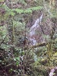
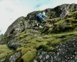
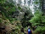
-
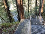
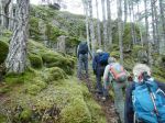
- The new trail extension
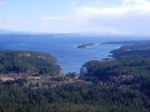
-
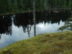
- Views to the east
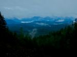
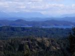
-
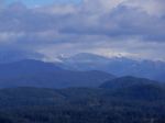
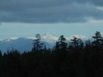
- Mainland mountains

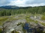
-
- Vew from South Chinese Mtn
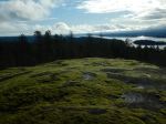
-
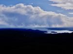
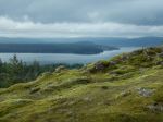
- View southwest
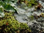
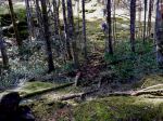
-
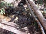
- Rock work stream crossing