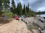
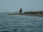
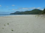
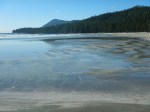
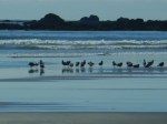
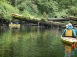
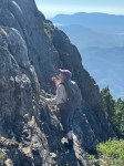
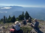
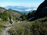
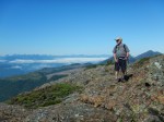
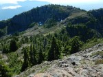
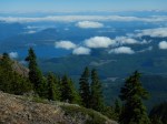
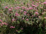
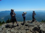
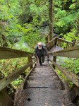
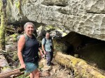
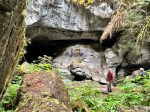
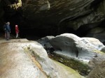
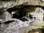
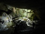
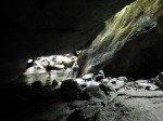
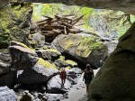
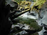
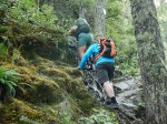
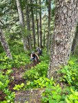
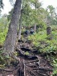
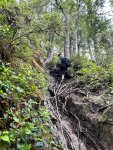
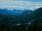
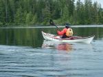
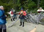
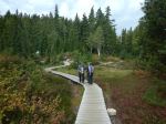
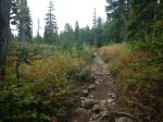
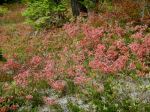
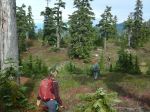
Nine of us took advantage of an overcast, but gentle day to make this lovely hike to Mt. Elma. It has been a very dry summer on the Forbidden Plateau and the autumn colours were not as intense as some years, but deep reds nonetheless. We walked through Paradise Meadows on the boardwalk and continued up to Battleship Lake where we admired the views from the various platforms. We carried on past Kooso and Lady Lake before turning off on the now well worn trail up to Mt. Elma. The route is increasingly steep as it nears the ridge and then flattens out as it meanders through the excellent sub-alpine terrain with great views and foliage. We stopped for lunch at the south end of the ridge and managed to eat most of what we had brought, in spite of very aggressive Canada Jays. We returned via Helen Mackenzie Lake to make the trip more varied and then were quickly back to the parking lot. As we reached the vehicles, we saw Sandhill Cranes flying overhead and circling around. 14.7 km; 500m elevation gain; 6¼ hours.
Debbie
Thanks to Carrie, Jim and Norris for the photos
(click on photos to enlarge)
-
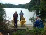
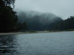
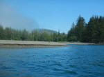
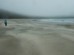
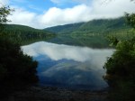
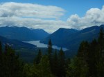
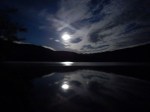
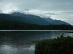
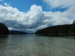
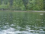
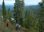
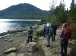
- Battleship Lake
-

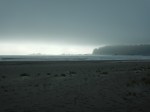
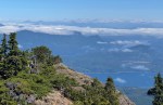
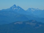
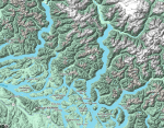
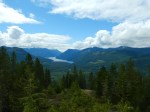
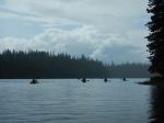
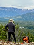
- Toward mainland

-

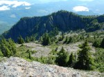
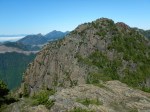
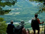
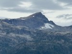
- Mt. Albert Edward
-
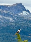
- Canada jay and Mt. Albert Edward
-

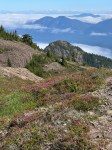
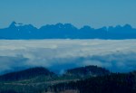
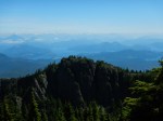
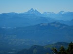
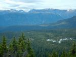
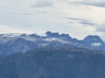
- Toward Comox Glacier
-
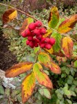
- Mountain Ash

-
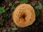
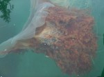
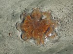
- Scaly vase mushroom
-
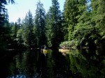
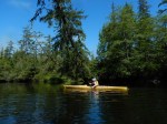
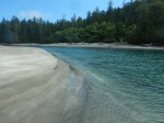
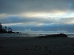
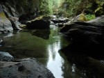
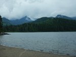
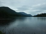
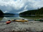
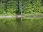
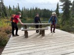
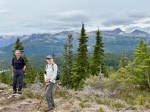
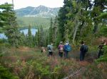
- Helen MacKenzie Lake