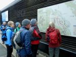
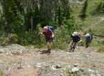
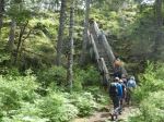
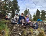
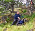
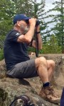
Four enthusiastic hikers enjoyed an absolutely perfect Fall Equinox Day as we hiked in Paradise Meadows/Forbidden Plateau. Our ultimate destination was Kwai Lake, via the circle route through Paradise Meadows and past Lake Helen Mackenzie. Taking the 8 am ferry, we were on the trail by 9:20 am.
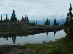
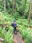
We enjoyed a pleasant break at Lake Helen Mackenzie with stunningly beautiful reflections of the surrounding hills. Debbie had wisely suggested we go counter-clockwise, as we always seem to go clockwise when hiking in this area. Even though this meant going uphill on the dreaded “Helen Mackenzie headwall”, it was still better than stumbling down the steep, rooty, eroded trail at the end of a long hike.
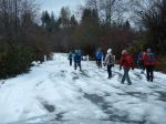
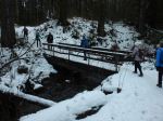
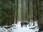
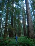
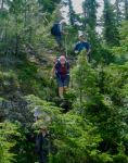
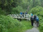
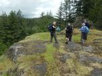
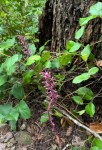
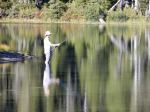
We were not the only ones enjoying the early autumn sunshine, as the number of cars in the parking lot attested. We encountered several backpackers on their way out, two school groups camping in the backcountry group camps, and many day-hikers like ourselves. At Kwai Lake we found a quiet grassy area on the southwest shore for lunch, away from a large school group taking their break on the rocky outcropping on the opposite shore. After lunch, we completed the circle, passing Croteau, Lady, Kooso and Battleship Lakes. Some sections of this circle route are boardwalk, protecting wetlands and tree roots, the rest varies from pleasant forest paths to very eroded, rooty trails. About 6½ hours, approximately 17 km.
Valerie van Veen
Thanks to Valerie and Norris for the photos
(click on photos to enlarge)
-
-
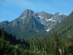
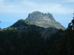
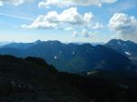
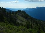
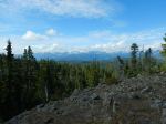
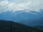
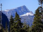
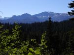
Mt. Albert Edward
-
-
-
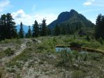
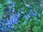
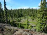
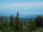
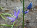
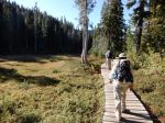
Paradise Meadows
-
-
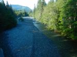
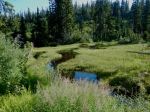
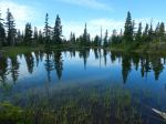
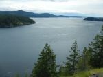
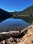
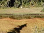
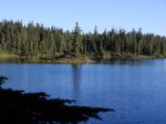
Lake Helen Mackenzie
-
-
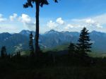
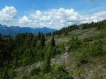
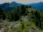
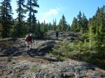
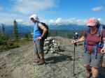
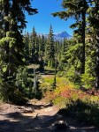
Sub-alpine on Forbidden Plateau
-
-
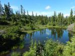
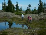
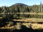
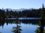
Kwai Lake
-
-
-
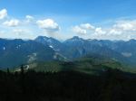
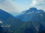
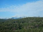
Castlecrag and Mt. Frink
-
-
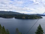
View across Croteau Lake
-
-
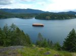
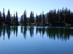
Battleship Lake
-
-
Battleship Lake
-
-
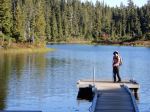
Dock at Battleship Lake
Hiking – Strathcona Park – 21 Sept 2022