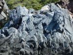
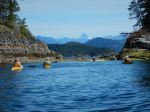
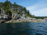
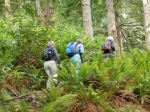
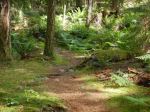
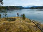
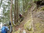
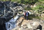
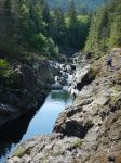
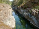
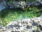
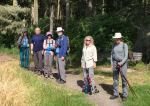
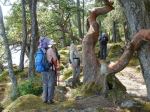
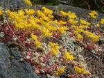
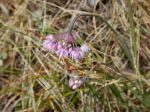
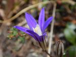
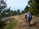
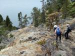
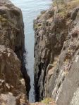
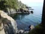
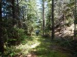
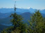
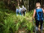
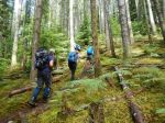
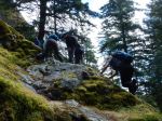
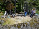
In spite of the downpour between 7:00 and 8:00, six of us decided to go on this hike and were rewarded by clearing skies. We hiked the trail from the Surge Narrows road into Homewood’s Woodsman camp, stopping along the way at viewpoints of Mine Lake and to sample the salmonberries and huckleberries. We followed the steep trail to the bluff and then out on to the somewhat exposed rock before arriving at great views at the top of the bluff. I highly recommend that this trip only be undertaken when the rock is dry, but I don’t always follow my own advice. We browsed around the bluff enjoying the views in different directions, sighting two fawns, a red-tailed hawk and a nighthawk, before stopping for lunch.
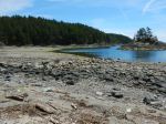
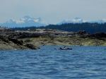
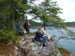
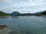
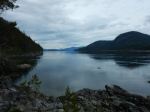
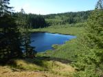
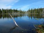
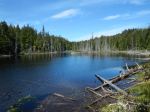
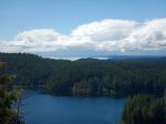
After lunch we descended by a less travelled route, down a gully to the north, which then traverses under the cliffs and circles back to the trail up to the bluff. We stopped by Mine Lake to enjoy the sun and the view of the quiet lake. 5.9 km; 3 1/2 hours.
Debbie
-
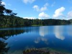
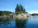
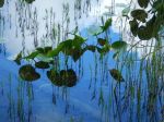
- Mine Lake
-
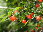
- Huckleberries
-
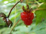
- Salmonberry
-
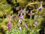
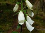
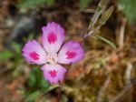
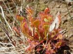
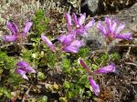
- Foxglove
-
- View to the southwest

-

- View of Mine Lake
-
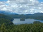
- View of Main Lake
-
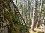
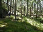
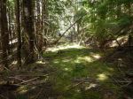
- the trail along the cliff
-
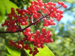
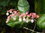
- Elderberries
-
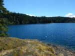
- Mine Lake
(click on photos to view larger)