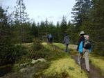
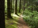
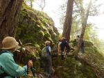
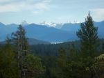
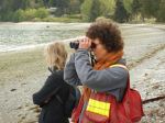
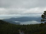
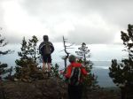
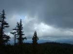
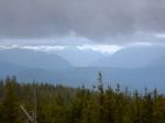
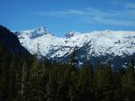
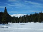
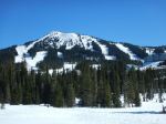
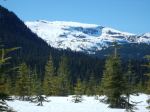
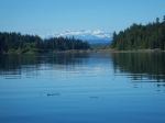
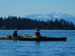
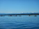
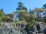
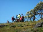
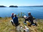
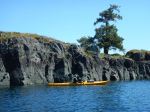
Thirteen members left Gowlland Harbour Resort on a bright, sunny, calm day for a tour around North and South Gowlland Harbour. Many thanks to resort manager Carmen for allowing us to launch there. We paddled north first toward the log dump and sorting area. There was a lone buck on one of the islands and two otters playing on a dock for entertainment. Some members had not realized how much activity goes on in the log sort. We then paddled to the old shipwreck off May Island and had lunch on the island. The snow-capped peaks of Strathcona Park were stunning against the blue sky.
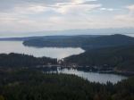
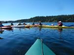
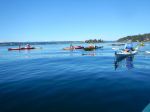
Next we went to Vigilant Island and watched many seals playing. From here we traveled down the east side of Gowlland Island to the narrow opening into April Point Bay. A few of us tried our skills in the current and found it can be hard in cross current. A word of caution to anyone that does not know this area, the current is not always running the same way as it is outside in Discovery Passage and can be quite fast.
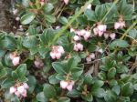
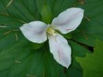
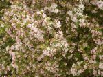
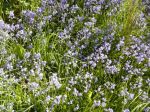
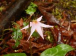
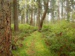
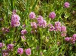
We then paddled around the south end of Gowlland Harbour and up by Stag and Fawn Island. The Sea Blush bloom was early this year, but some flowers were still to be seen. We arrived back at launch site about four hours and 6.5 nautical miles after having left. All and all, it was a stunning day.
Les
Note: Special thanks from all of the participants to Les for the delicious prawns, smoked salmon, cheese and wine contribution to our picnic lunch.
Here is the bird list for the day:
Horned Grebe
Glaucous-winged Gull
Bonaparte’s Gull
California Gull
Double-crested Cormorant
Pelagic Cormorant
Great Blue Heron
Canada Goose
Mallard Duck
Bufflehead
Common Merganser
Pigeon Guillemot
Marbled Murrelet
Bald Eagle
Belted Kingfisher
Northwest Crow
Common Raven
Pacific Wren
American Robin
Spotted Towee
Townsend’s Warbler

-
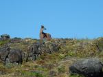
- Buck
-
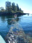
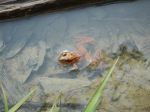
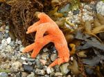
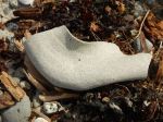
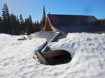
- The wreck underwater
-
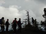
- Lunch on May Island
-
- Sea blush
-
- Vigilant Island
-
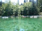
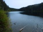
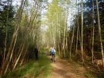
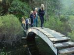
- Bay at the north of Gowlland Island

(click on photos to view larger)