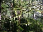
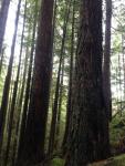
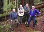
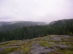
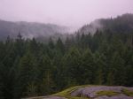
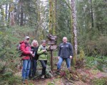
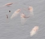
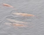
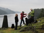
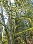
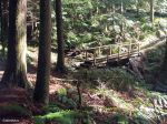
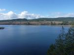
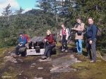
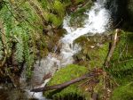
Although the day dawned dark and rainy, the weather was great by the time we started down the trail around 11:00. The group enjoyed the walk on this well constructed, undulating trail including stairs and a swinging suspension bridge. Points of interest along the way include a few excellent old growth trees, lush mosses and ferns, an old corduroy road, a few creeks, the view point over Menzies Bay from a rocky bluff, the sandy beach at Nymphe Cove and budding fawn lilies. After the final push up the hill and stairs to Wilfred Point, the group was rewarded with great views of Discovery Passage and a warm and sunny lunch stop. There were sea lions and seagulls feeding in the current. The area is steeped in the history of early logging and the major efforts made to blow up Ripple Rock in Seymour Narrows to improve the safety of navigation through those waters. When we arrived the ebb was running about 7 knots. Although it can run more than double that speed, the turbulence was quite impressive. The hike, round trip, is 8 kilometres.

-
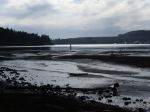
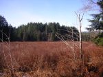
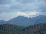
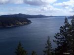
- Menzies Bay

-
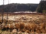
- Menzies Bay
-

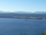
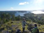
- Seymour Narrows
-
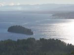
- Discovery Passage
-
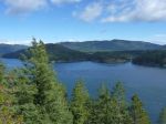
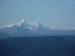
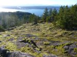
- Quadra Island
-

- Fawn Lily
(click on photos to view larger)
Hiking – Ripple Rock 19 Mar 2014
The Ripple Rock explosion was 9:31 a.m. on 5 April 1958. The Museum at Campbell River is offering a hike to this lookout to commemorate the 56th anniversary of the explosion on April 5, 2014. Cost is $20, register with the museum at 250-287-3103.