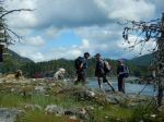
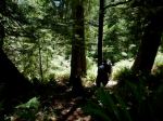
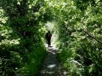
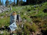
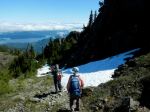
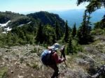
Quite a few people wanted to go on the Mt. Kitchener hike then couldn’t make it for a wide variety of reasons. So at the last moment, the trip went ahead with only three. We can report that the road up does not have waterbars, so any vehicles with four-wheel drive, good clearance, and good tires should be able to make it. On the way up we had a special treat of seeing a herd of elk, seven with three young ones and another, smaller group higher up. The trail is in good condition, although there is a section of large windfall to go around at the start.
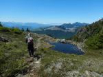
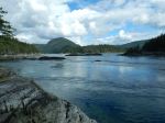
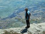
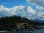
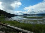
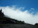
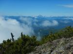
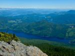
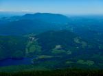
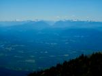
There was some morning cloud, especially in the north, and we parked just above the clouds, which went away as the day warmed up. After the first steep ascent on to the ridge, we hiked along the ridge to the Mt. Kitchener summit, where the communication infrastructure had been removed since our last visit. We had excellent views all around, looking over Johnstone Strait and up Loughborough Inlet to Mt. Waddington. We stopped for lunch before descending and then made the short climb to Mt. McCreight, with more views to the south. We had excellent weather and took our time to enjoy the hike. (4.3 km; 4.25 hours; 475 m elevation gain)
Norris
(click on photos to view larger)
-
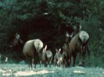
- Roosevelt Elk
-
- Victoria Peak
-
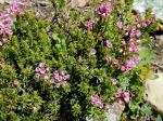
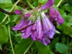
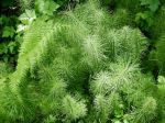
- Heather
-
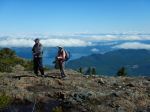
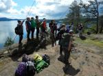
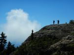
- At the Mt. Kitchener summit
-
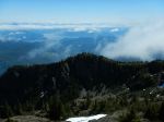
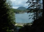
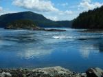
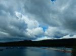
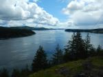
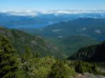
- View toward Nodales Channel
-
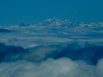
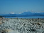
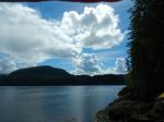
- Mt. Waddington
-

- Mt. McCreight
-
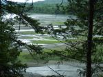
- View toward Mt. Menzies
-
- View toward Strathcona Park

-
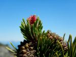
- Lodgepole pinecone and needles