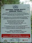
We had talked about this trip for over a year, but it came together at the very last minute. There is little information available about Woss Lake Provincial Park and much of it is unhelpful or actually incorrect. Historically this was an important trade route for the Namgis and Mowachaht, but today it is not much visited. There are some reasons why this beautiful place is quite inaccessible and little known.
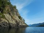
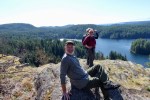
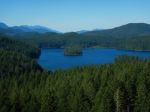
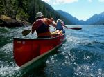
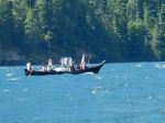
Six of us in two kayaks and two canoes set out on a beautiful summer day to explore this area hoping to find the campsite and the Grease Trail. We launched at 11:30 in calm water from the Woss Community Cabin, which is about 8 kilometres down Woss Rd. The views on this in-land fjord are wonderful with Rugged Mountain and the glacier at the southwest end of the Lake. By 13:00 the diurnal wind from the south began to build and continued to increase to about 20 knots until after sunset, but the wind didn’t die completely until midnight. We spent several hours pulled out on the shore waiting for the wind to abate. Magically, a large Namgis cedar dugout canoe came quickly down-wind while we were on shore.
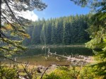
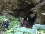
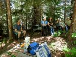
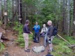
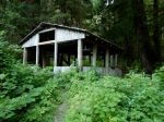
The campsite was not where we expected because the trail location on Backroads map is incorrect. The campsite is in much better condition than we expected since the BC parks says there are no facilities, and other sites simply repeat that there are a “few tent pads.” The campsite was built and the trail re-established as an initiative by the Namgis between 2001 and 2005. Lindsay Elms’ information in Beyond Nootka is the most complete. While some of the tent platforms have rotten wood, the general facilities and location are excellent for rustic camping.
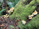
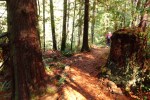
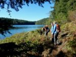
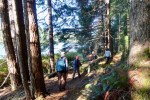
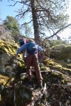
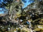
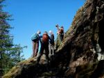
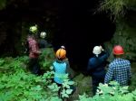
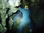
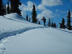
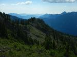
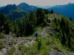
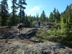
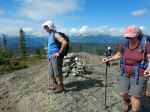
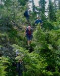
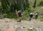
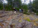
The following day we planned to hike up to the pass on the Grease trail, which would descend to Tahsis on the far, south side. The trail was in better condition than we expected, since BC Parks are certainly not maintaining this. It seems likely that the Namgis are working on it. It was well flagged and most of the creeks were bridged for the first 3 kilometres. Then there was lots of flagging in different colours, but no convincing trail and no logical continuity. Because Backroads maps shows the trail on the wrong side of the creek and Lindsay Elms says that the grant was to develop 3 kilometres of trail, our expectations were that this would be a short steep hike. That was not the case and we had not allowed sufficient time to continue to the pass. We returned to the campsite through this excellent forest with many streams. The diurnal wind started earlier and persisted longer than the previous day.
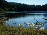
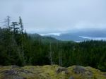
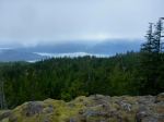
The last day we paddled out following the west-side shore with interesting geology and small bays. Starting earlier in the day, we arrived at our launch site by noon and encountered virtually no wind at all. We learned a lot about this area on the trip, but definitely not everything and hope to return.
Debbie
(click on photos to enlarge)
-

-
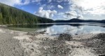
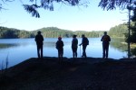
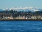
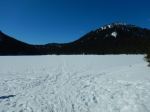
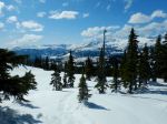
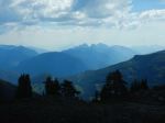
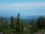
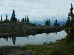
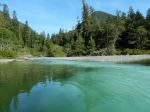
View north
-

-
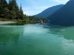
Paddling south
-
-
Rising wind
-

-
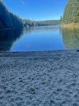
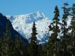
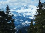
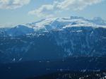
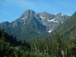
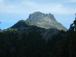
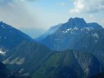
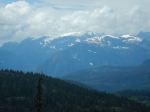
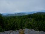
View south to Rugged Mtn
-
-
Namgis cedar canoe
-
-
-
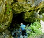
Covered shelter at the campsite
-
-
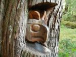
Carving by Donald Svanvik
-
-
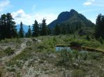
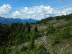
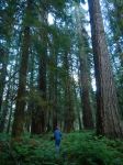
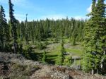
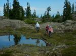
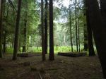
Grove with tent platforms
-

-
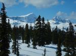
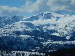
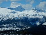
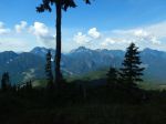
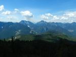
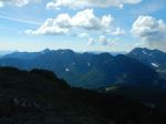
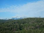
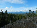
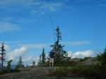
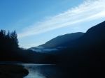
Haihte Range
-

-
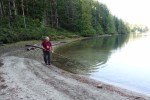
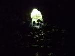
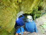
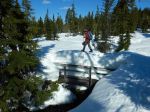
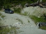
Creek without a bridge
-

-

-
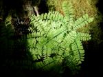
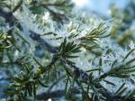
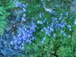
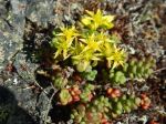
Clematis
-
-
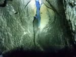
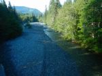
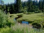
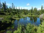
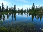
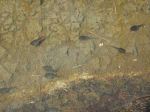
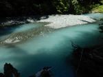
Glacial stream
-
-
-
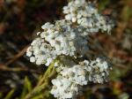
Yarrow
-
-
-
Paddling north
-
-
-