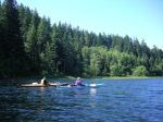
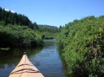
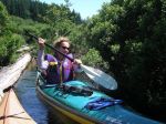
| Activity | Kayaking |
| Destination | Granite Bay |
| Date | 8 July 2015, Wednesday |
| Trip Coordinator | Kathryn Manry and Mark Zimmerman |
| Contact Info | 285-2103 or kamanry@gmail.com. Please contact the coordinator prior to the trip. |
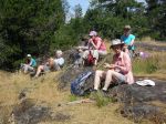
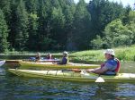
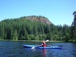
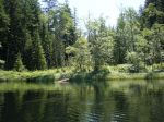
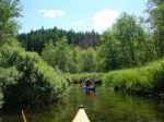
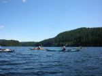
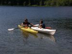
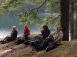
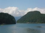
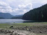
| Description | A day paddle in the Small Inlet / Orchard Bay / Chain Islands area. Where we go will be determined by the paddling conditions and the interests of the group… |
| Meeting Place | Granite Bay dock |
| Departure Time | 10:00 am |
| Difficulty |
moderate |
| Costs | launching fee |
| Trip limits | 10 |
| Dogs? | must wear life jacket!! |
| Notes: | This should be a fairly mellow trip, but be prepared, as always, for changes in weather, etc. We should be off the water by 4 PM. Bring lunch. |
Category Archives: day-trip
Trip Report – Mt. Becher – 17 June 2015
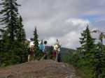
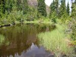
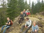
After an early start on Wednesday June 17th, five members of the Quadra Island Outdoor Club safely summitted Mt Becher. Members on outing included two members of the executive committee, Debbie Quigg, Chair and Norris Weimer, Webmaster as well as members at large; Kathy Sales, Kathryn Manry 1st leader, and Mark Zimmerman 2nd leader.
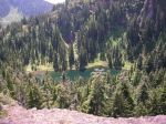
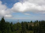
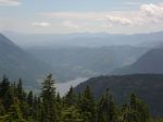
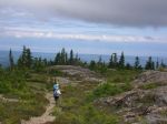
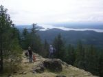
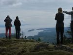
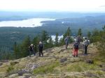
Our adventure started at the mildly post apocalyptic base of the defunct Forbidden Plateau Ski Resort and shortly after gaining that initial summit we enjoyed more pleasant wandering in the subalpine forest. Early vistas included the Gulf of Georgia and an assortment of small islands, towns, villages and hamlets. Halfway to the summit we overlooked Boston Lake, a great spot for a lunch break. Carrying on we summited a bit after mid-day and had our only look at large mammals, a herd of about a dozen folk of various sex and size, all associated with an outdoor group from Parksville.
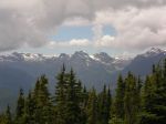
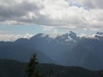
Great views of the Comox glacier and surrounding peaks were enjoyed from the summit, before our return.
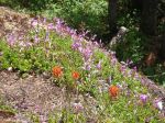
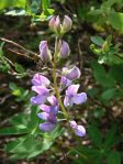
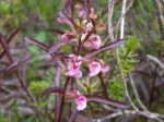
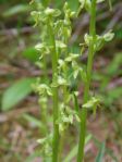
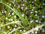
A partial list of flowers observed include the following:
- Alpine Lupine
- Subalpine Daisy
- Yarrow
- Leatherleaf Saxifrage
- Partridgefoot
- Spotted Saxifrage
- Alaskan Saxifrage
- Columbia Lewisia
- Lance-leaved Stonecrop
- Spreading Stonecrop
- Twinflower
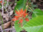
- Paintbrush
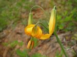
- Tiger Lily
- Spreading Phlox
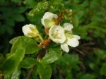
- White Flowered Rhododendron
- Heather
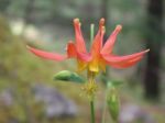
- Columbine
- Birds Beak Lousewort
- Coast Penstemon
- Rosy Pussytoes
- Bunchberry
- Valerian
- Small Leaved Montia
- Slender Bog Orchid
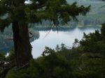
- Boston Lake

- Comox Lake
- Comox Glacier
(click on photos to view larger)
Hiking – Surge Narrows – 3 July 2015
Change of departure time
| Activity | Hiking |
| Destination | Surge Narrows |
| Date | 3 July 2015, Friday |
| Trip Coordinator | Debbie Quigg |
| Contact Info | 285-3710 or debbie.quigg@ualberta.ca; please contact the coordinator in advance of the trip |
| Description | We will drive to the end of the Surge Narrows Rd and hike along the undulating and relatively short trail for a view of the rapids. The trip is timed to see the maximum flood current of 10.6 knots at 15:10. The rocky shore and views are great. We plan to continue on the unmaintained route a bit further north along the shore. |
| Meeting Place | Heriot Bay Store for car pooling |
| Departure Time | 13:30; 11:30 – some of us are going to leave early for a picnic lunch and swim at Mine Lake on the way to the hike. |
| Difficulty |
easy |
| Costs | none |
| Trip limits | none |
| Dogs? | |
| Notes: | Bring a snack and possibly a bathing suit. |
Trip Report – South Heriot Ridge – 10 June 2015
We left a bit earlier than planned in order to beat the unusual heat. The day was sunny and breezy. The seven of us started out on the Hope Spring trail, turning left at the T-junction on top and then onto open bluffs at the south end of Heriot Ridge. After wandering the bluffs and enjoying the views toward Vancouver Island, we continued east until we joined the Camp Homewood trail to the High Bluff. We stayed awhile and then descended the bluff and took the trail leading east, later veering right to visit the Homewood Bluff, where none of us had ever been. This made a great lunch stop. We once again descended and took the right-hand turn toward Gowlland Trail, which then made a loop back to the Hope Spring Trail. 6.4 km, 3 ½ hours.
- Ocean Spray
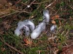
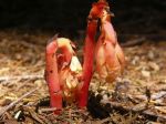
- Indian Pipes
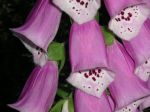
- Foxglove
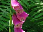
- Foxglove
(click on photos to view larger)
Trip Report – Main Lake – 4 June 2015
Nine happy paddlers left the launch site of Mine Lake in a light wind. It was a glorious day with just enough wind to keep us cool but still make for enjoyable paddling.
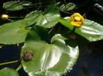
We paddled up to the end of Main Lake and easily found the entrance to the narrow passage to Little Main Lake. We made our way up the passage trying to navigate the downed logs and narrowness of the passage. It is a very beautiful serene waterway with lily pads, tall grasses and much evidence of beaver.
Our return trip took us along the opposite shore of the lake to return to the launch site where swimming was enjoyed in the unseasonably warm water. A few brave souls attempted some wet exits and self/assisted rescues.
All in all it was a glorious day in the quiet of the lakes. 15.4 km, 5 ½ hours.
- Mine Lake
- Main Lake
- Water lily bud
- Shadowbrook
- Frog on a lily pad
- Water lily
- Little Main Lake
- Lunch at Little Main
- Shadowbrook
- Main Lake
- Practicing rescues
(click on photos to view larger)
Trip Report – Ripple Rock – 26 May 2015
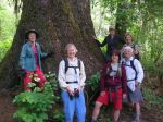
On Tuesday, May 26, seven of us carpooled to and hiked the Ripple Rock Trail north of Campbell River. We tried out the new (to us) bridge over Menzies Creek and admired the huge Sitka spruces on the banks. We passed many old fir trees as we hiked through the lovely open forest, while grazing on salmon berries. We stopped at each viewpoint and had lunch on the bluff overlooking Seymour Narrows with great views of Discovery Passage and Maud Island. There are still wild flowers, but the moss is extremely dry. On the way back, there were oyster mushrooms for picking and a few of us splashed or bathed in Menzies Creek.
- the Sitka and us
- Salmon berry
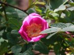
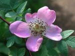
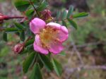
- Wild rose
- Wild rose
- Columbine
- Nymph Bay
- Discovery Passage
- Seymour Narrows and south
- Oyster mushroom
- the “new” bridge
(click on photos to view larger)
Hiking – South Heriot Ridge – 10 June 2015
| Activity | Hiking |
| Destination | South Heriot Ridge |
| Date | 10 June 2015, Wednesday |
| Trip Coordinator | Debbie Quigg |
| Contact Info | 285-3710 or debbie.quigg@ualberta.ca; please contact the coordinator in advance of the trip |
| Description | We will start on Hope Spring Trail and follow routes on open bluffs and unofficial trails to an overlook with a great view of Georgia Strait. There are a number of different loops possible to return to the trailhead. Three to four hours. |
| Meeting Place | Trailhead at the end of Hope Spring Road. |
| Departure Time | 10:00 |
| Difficulty |
easy |
| Costs | none |
| Trip limits | none |
| Dogs? | |
| Notes: | Bring lunch. If you use poles, bring them. |
Hiking – Mt. Becher – 17 June 2015
| Activity | Hiking |
| Destination | Mt. Becher |
| Date | 17 June 2015, Wednesday |
| Trip Coordinator | Kathryn Manry and Mark Zimmerman |
| Contact Info | 285-2103; please contact the coordinator on or before Monday, June 15 to sign up |
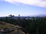
| Description | Mt Becher is on the SE corner of Forbidden Plateau. The trail goes from the burnt-out Plateau Ski Lodge up to the sub-alpine summit (1390 m). There is a view down to Boston Lake and a lovely waterfall en route. Views over Forbidden Plateau, Comox Lake, Georgia Strait and the norther Gulf Islands from the top. |
| Meeting Place | Q Cove Ferry parking area |
| Departure Time | 7:15 for the 8:00 ferry – we will sort out car pooling then |
| Difficulty |
moderate to strenuous; about 10 km return, 580 m elevation gain |
| Costs | shared gas and ferry fee |
| Trip limits | minimum of 4, maximum 12 |
| Dogs? | on leash, please |
| Notes: | Bring lunch. |
Trip Report – Newton Lake, Small Inlet & Waiatt Bay – 17 May 2015
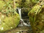
Seven of us set out on a hike to Waiatt Bay on Sunday. It was overcast and cool but just right for a long hike. The road from Granite Bay to the trail head is much better due to the logging road expansion. The trail in to Newton Lake is in good shape and the uphill hike makes for a good warm up. We stopped at the swimming spot for a snack and to admire the blue/green aqua color of the lake. As we descended to Small Inlet we passed the waterfall from the lake, which was gorgeous as usual. As we passed the head of the inlet we took the inland route which seems to be the preferred route now for hikers. The tide was out at Waiatt Bay so made for a variety of spots for lunch.
On the return trip we took the portage trail to Small Inlet. It is in poor shape and much in need of some chainsaw work. It is always amazing though to see the bubbling spring near the ocean. From there we returned the same route in sunshine. The total trip was 14 km and took about 5 and a half hours.
- Newton Lake
- Small Inlet
- Sea Blush
- Waiatt Bay
- Wild Current
- Wild columbine
- Sword Fern
- Indian Pipe
- Clear Lake
(click on photos to view larger)
Hiking – Newton Lake, Small Inlet & Waiatt Bay – 17 May 2015
Trip Report – Noel’s Pizza Peak – 13 May 2015
The weather forecast for this trip had been “60% rain” for a long time, so we had a back-up plan in place for an alternate destination. On the day of the trip, we awoke to rain. But by the time we arrived at the meeting place, the rain had stopped and it looked like it would be a nice day. So, back to Plan A. Seven of us went up the North Chinese Mountain trail to the flagged route up the ridge parallel and to the northeast of the Beech’s Mountain ridge. We followed Beaver Lake logging road for a while and then the flagged route to Noel’s Pizza lookout for lunch. Great views from there even though the mountains were in cloud. After lunch we went up the ridge to the upper cairn (475 m), descended to the saddle and took a short-cut to the flagged route to Beech’s Mountain. We enjoyed the views from the top, then down the maintained trail to the parking lot. 8.0 km; 5 hours. The moss is already dry, but the wild flowers were superb: columbine, wild bleeding heart, monkey flower, blue-eyed Mary, chocolate lily, coral root orchid, death camas, wild rose, yellow violets, penstemons, and many more.
- Wild Columbine
- Wild Rose
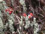
- British Soldier Lichen
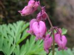
- Wild Bleeding Heart
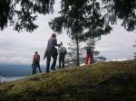
- Arriving at Nole’s Pizza Peak
- View toward Rebecca Spit
- Morte Lake
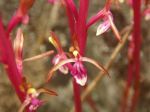
- Coral Root Orchid
- Beech’s Mountain
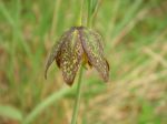
- Chocolate Lily
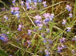
- Blue-eyed Mary
- Monkey flower
- Penstemon
- the route
(click on photos to view larger)