Six paddlers took advantage of another lovely day of warm weather and light breezes to kayak from Len Road Beach to Village Bay. We were on the water by 9 am, thankful for the high tide allowing a quick launch. With high tide and calm waters, we went through Shellaligan and on to Village Bay. Several hikers were sunbathing on the rocky outcroppings along the trail, but no other wildlife. This was especially disappointing as just a few days ago a huge pod of Pacific White-sided dolphins spent most of a day in a feeding frenzy in Open Bay. We reached Village Bay at 11:30, brunch time. The beach was surprisingly clean, though a few small items were picked up and one aquafarm basket was left, hoping boaters would take it back. A classic wooden boat was anchored in the bay and we admired their husky dog, and the amazing crop of lettuce flourishing on the back deck. An easy paddle back to Hyacinthe Bay, more hikers lounging on the Shellaligan rocks, though no-one braving the chilly water. A flock of seabirds were noisily feeding in the intertidal at the north end of Hyacinthe Bay, and several dozen seals were dozing, and arguing, on the Seal Rocks.
The highlight of an otherwise peaceful paddle came at the end of the trip. Terry wanted to retrieve some flotsam washed up on Turtle Island, just off Len Beach. He and Vic bagged the huge fishing net, aka “the beast”, straddled it across Vic’s and Val’s kayaks, and Terry practised his guiding skills by towing both kayaks back to shore, Vic assisting as outrigger paddler. The beast will be suitably disposed of, and no-one will be any the wiser as to its timely demise.
Thanks to Terry and Val for photos.
Valerie
(click on photos to enlarge)
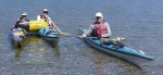
-

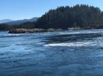
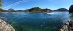
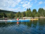
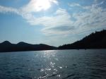
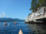
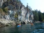
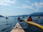
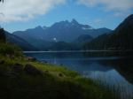
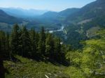
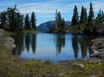
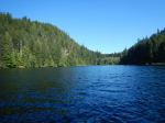
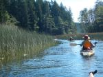
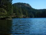
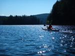
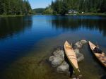
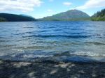
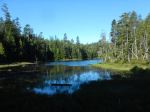
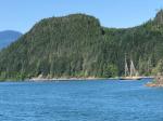
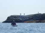
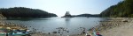
- Leaving Hyacinthe Bay
-
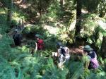
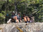
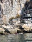
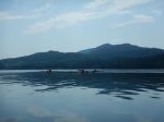
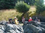
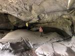
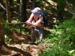
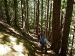
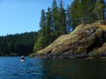
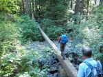
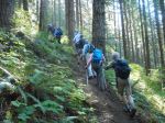
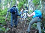
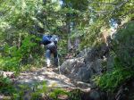
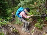
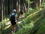
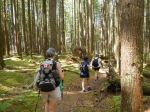
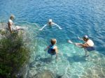
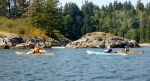
- Hikers on Shellaligan
-
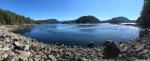
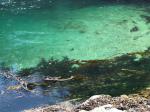
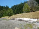
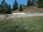
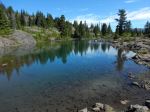
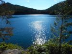
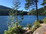
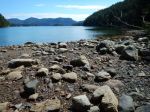
- Village Bay
-
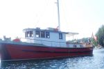
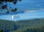
- Boat at anchor in Village Bay
-
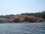
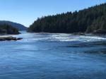
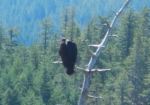
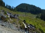
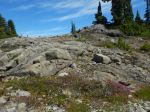
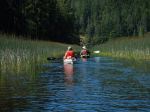
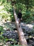
- Turtle Island
-

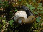
- The bagged fishing net
-
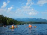
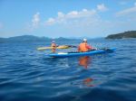
- The three-kayak tow