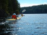
Such a beautiful day, filled with sunshine. Ten individuals attended this trip, we caught the 9:05 a.m. ferry to Cortes Island. We drove to 431 Whaletown Road, parked at Channel Rock parking lot. Steph (manager) for Channel Rock met us and we walked the lovely path to Channel Rock. Channel Rock is a 140-acre, off the grid paradise, protected by land covenant, powered by solar energy, and only accessible by boat or by foot. Steph took us on a tour of Gilean Douglas’s home, which is in need of care and attention. Our donation went towards this restoration program. Steph gave us further details of the life of Gilean Douglas during her time on Cortes Island and the present owners. We then toured the gardens and the amazing locally crafted dwellings of Channel Rock. Each structure fitted into the natural landscape, such beautiful craftsmanship. We ate our lunch overlooking the stunning coastline and gardens.
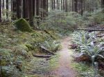
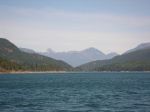
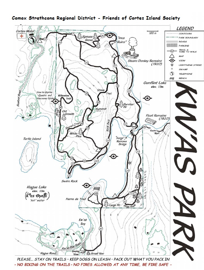
Trekked back along the path to the parking area. We dropped two hikers off at Whaletown Commons and the rest proceed to the Kw’as trails. This is a large network of trails and we only had the time to cover a small section. The section we chose took us along the side of Gunflint Lake and through deep old forests, up to high covered bluffs. We crossed a bridge that gave us a view of Hague Lake and then continued up and over the manzanita covered bluffs. We stopped a couple of times at different view spots and to read the information boards posted. This trail is well marked and indeed beautiful. Unfortunately, we did not have the time to hike to the Old Growth area and all decided we need to return for the whole day next time. It was a pleasure walking in the cool woods on such a hot day. The group decided to take a side trip to the Co-op for a nice cold beverage and then onto the ferry line-up.
This was truly a rewarding day and again filled with beautiful memories of another visit to Cortes Island. All hikers arrived home safely and we look forward to seeing the pictures.
Lets return again!
Margot
-
-
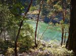
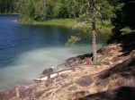
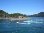
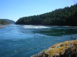
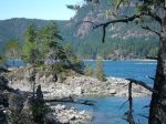
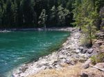
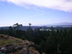
the shoreline of the estate
-
-
-
Gilean Douglas’ house
-
-
Gilean Douglas’ house
-

-
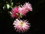
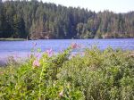
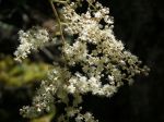
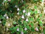
flowers in the Channel Rock garden
-

-

-

-
-
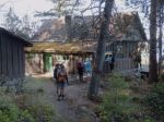
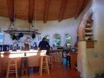
Cobb house interior
-
-
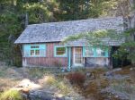
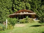
Cobb house exterior
-
-

-

-
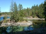
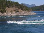
View of Shark Spit from Channel Rock estate
-
-
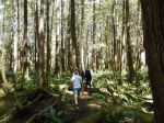
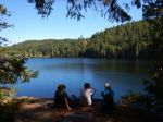
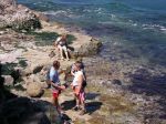
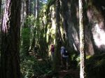
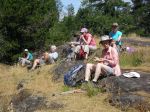
hiking in Kw’as Park
-
-
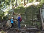
“Inca Ruins”
-
-
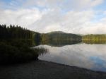
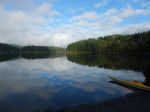
Bluff on Gunflint ake
-

-
Old growth in Kw’as Park
-

-
measuring “Survivor” tree — 6 tree-huggers around
-

(click on photos to view larger)
Hiking – Channel Rock & K’was Park – 18 Aug 2015


