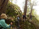
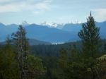
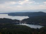
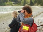
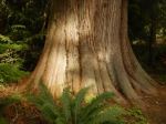
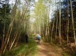
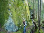
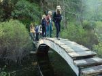
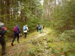
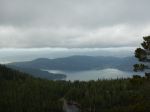
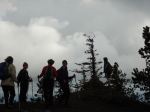
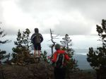
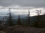
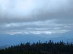
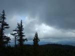
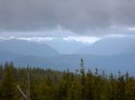
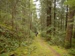
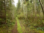
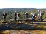
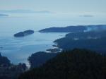
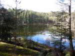
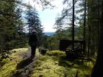
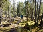
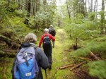
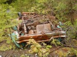
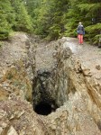
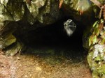
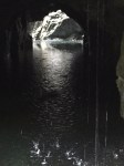
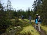
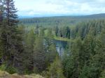
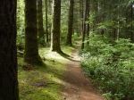
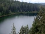
Five members explored the trails in the Snowden Demonstration Forest. Because the road over the dam is closed due to of construction, the access is via Duncan Bay Road (access map available at Outdoor Addictions), but the roads are good. We parked at the Lost Lake parking area and hiked around Lost Lake. We stopped for a snack on the eastern viewpoint and had lunch at the western viewpoint. The forest has quite an open understory, and there were trillium and other early wildflowers. The trails and routes we used were named Mudhoney Pass, Sanitarium, Scotty’s, T’aint, Riley Lake, and Tri Mac. The trail map is available at the Outdoor Addictions store or online at https://gocampbellriver.com/files/MapsForDownload/Snowden_Forest_Trail_Map.pdf
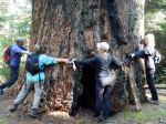
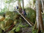
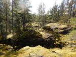
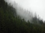
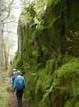
The trails range from flat grades that used to be logging railroad lines to walks along moss covered rocky ridges. We didn’t see anyone else while we walked. It was a very enjoyable walk, and it barely scratched the surface of what is available there. 7.6 km, 3.5 hours.
Norris

-
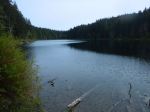
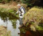
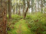
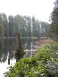
- Lost Lake
-
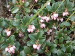
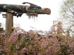
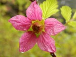
- Kinnikinnick
-
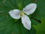
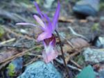
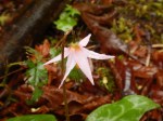
- Trillium
(click on photos to view larger)