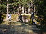
| Activity | Hiking |
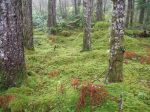
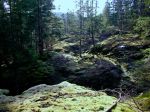
| Destination | Stramberg Old Growth grove |
| Date | 1 April 2015, Wednesday |
| Trip Coordinator | Norris Weimer |
| Contact Info | 285-3710 or norris.weimer@ualberta.ca |
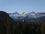
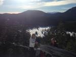
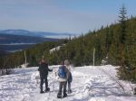
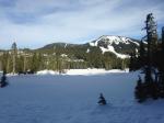
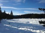
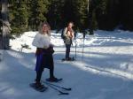
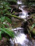
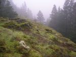
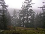
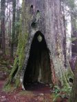
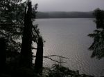
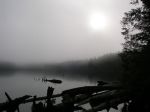
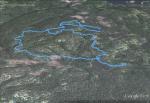
| Description | This trail begins near Village Bay Lake and follows open meadows leading into and through the forest. The reward at the end of the hike is a grove of old growth firs. This is not an official trail and route-finding can be an issue. Although there was work on this trail last summer, there has also been quite a lot of blow-down this winter, so progress may be slow. About 13 km; 5 hours or more. |
| Meeting Place | Heriot Bay Tru Value parking lot |
| Departure Time | 9:00 |
| Difficulty | moderate |
| Costs | none |
| Trip limits | none |
| Dogs? | no |
| Notes: | Bring lunch. This walk is very wet in places. |
Stramberg Old Growth – 1 April 2015
1