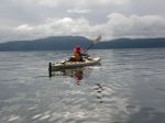
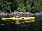
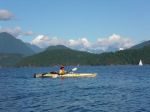
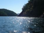
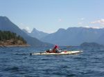
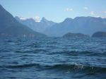
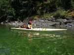
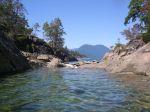
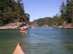
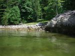
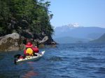
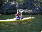
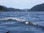
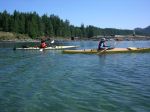
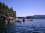
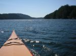
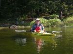
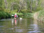
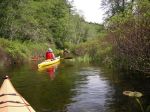
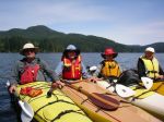
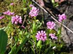
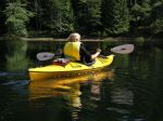
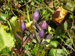
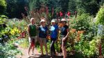
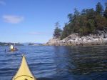
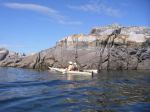
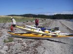
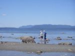
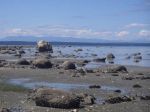
Seven enthusiastic ladies ventured on this trip. Sailed on the day’s first ferry for Cortes Island. We set-up camp at Smelt Bay Provincial Park. Later drove down to Smelt Bay Beach, & kayaked around the southern tip of Cortes Island, stopping along the way at Hollyhock. Some chose to swim & others toured the beautiful gardens at Hollyhock. We continued onto Hanks Beach. Beautiful rock formations & all took the time to explore. Return route we paddled past Manson’s Heritage Farm & also the Japanese Farm, learning a little about the history of these farms. A good hard paddle, watched a minke whale & arrived safely back to the camp site at Smelt Bay. This was certainly a good workout for us all.
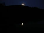
Great pot-luck dinner at night & then down to watch the sunset.
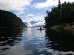
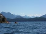
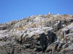
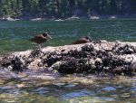
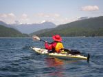
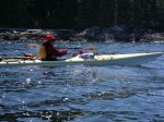
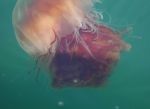
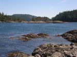
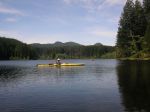
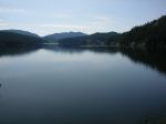
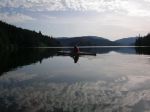
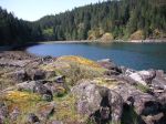
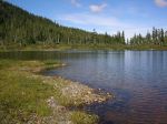
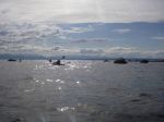
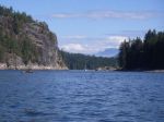
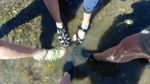
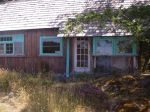
The next day we set out for Manson’s Lagoon. Quite a breeze blowing, ventured out towards Shark Spit. Many lovely islands on route with lots of resident seals to watch. Put in at Shark Spit, viewed the camp site & the lovely tidal pools. Enjoyed our pot-luck lunch on the beach & took the time to rest. We then kayaked over to Gillean Douglas’s home. It was such a delight to visit her home & to learn more about this incredible author. Return paddle was at times challenging due to the boat traffic, however, a beautiful return trip into Manson’s Lagoon.
A quick change & out for dinner at ‘The Cove Restaurant’ in Squirrel Cove. After a delicious dinner we drove over to the Klahoose Long House. A most impressive building & grounds.
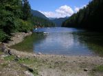
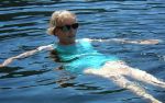
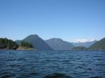
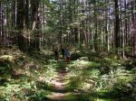
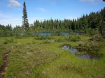
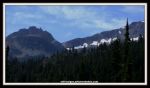
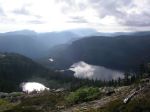
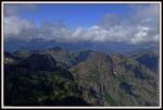
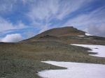
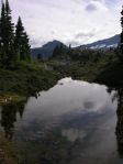
Final day, after we had packed up, we all drove to have a java at the Cooperative Café & local grocery store. Then onto Easter Bluff Trail. This bluff hike is part of Linnaea Farm & offers gorgeous views overlooking the south & west end of Cortes Island & the mountains beyond. Parts of this trail were steep but well worth the view from the top. After, we drove onto Hague Lake & most had a refreshing swim, plus time for lunch. Margot then took a few of the party to Whaletown to view the tiny library, Whaletown Church & the floating dentist. Onto the ferry terminal to be in line-up to catch the ferry for beloved Quadra Island.
The weather was superb, the camp site was clean & quiet, apart from the ‘boot sneak’. What an enjoyable trip & thanks to everyone for making it happen. There is still so much to explore on beautiful Cortes Island.
submitted by Margot Wood, trip coordinator
-
- Hollyhock Retreat
-
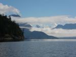
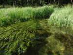
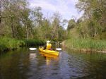
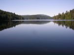
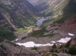
- The Gorge
-
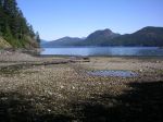
- Shark Spit
-
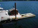
- Gillean Douglas’s home
(click on photos to view larger)