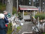
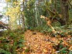
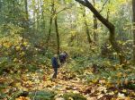
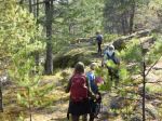
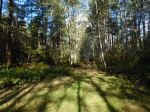
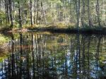
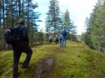
| Activity | Hiking |
| Destination | Haskin’s Farm Loop |
| Date | 14 Nov 2018, Wednesday |
| Trip Coordinator | Julie Mellanby |
| Contact Info | 285-3978. Please contact the coordinator in advance of the trip. |
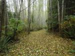
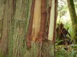
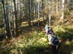
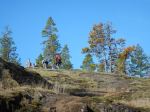
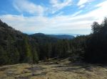
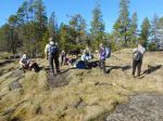
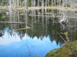
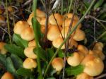
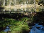
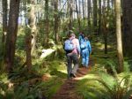
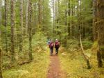
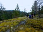
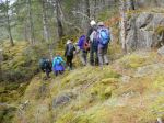
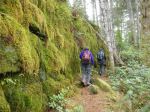
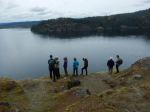
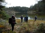
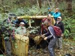
| Description | We will follow the Haskin’s Farm trail to the beach and pass by some great old growth trees before walking through the gently rolling paths on the golf course. |
| Meeting Place | Haskin’s Farm trailhead |
| Departure Time | 9:30 |
| Difficulty |
Easy |
| Costs | none |
| Trip limits | none |
| Dogs? | Must not run through the group. |
| Notes: | Bring lunch and gear for weather. |
Hiking – Haskin’s Farm Loop – 14 Nov 2018
1