The weather forecasters promised much better weather if we postponed this trip one day, so we did and they were right. The wet winds from the southeast shifted to dry winds from the northwest, and the day was sunny, with clear sky and views of the mountains with all their fresh snow.
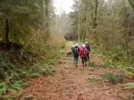
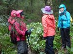
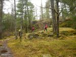
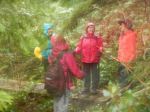
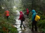
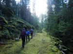
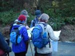
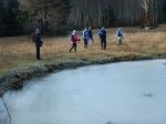
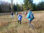
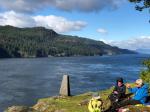
Seven of us made the trek to the Maud Island viewpoint overlooking Seymour Narrows and the Ripple Rock site. We did the hike as a loop, stopping at the Mt. Lolo bluff on the way out and continuing through the forest and over the causeway to Maud Island. We were impressed with how much tidal action there was only a half-hour after slack water, with the wind against tide. A group of sea lions used the calmer water right beneath the cliffs to relax and play. We had lunch at the viewpoint, including Les’ wonderful smoked salmon, and then returned via the Saltwater Lagoon. 10.1 km; 4⅓ hours.
– Norris
Photos by Norris and Les
(click on photos to view larger)
-
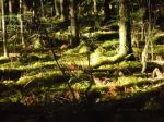
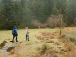
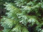
- Finally a sunny day even in the forest

-

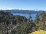
- View from Mt. Lolo bluff
-
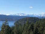
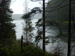
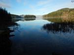
- View over Seymour Narrows
-
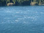
- Rough water in Seymour Narrows
-
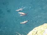
- Sea lions
-

- View north in Discovery Passage
-
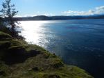
- View south
-
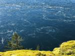
- Current eddies in Seymour Narrrows
-
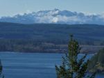
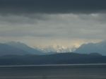
- Vancouver Island mountains
-
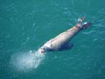
- Sea lion
-

- Sea lions
-

- Sea lions
-
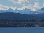
- Vancouver Island mountains
-

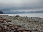
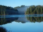
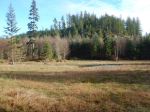
- Saltwater Lagoon