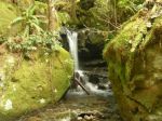
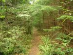
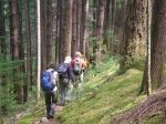
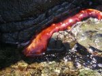
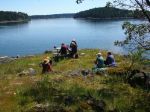
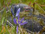
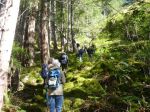
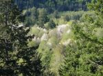
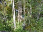
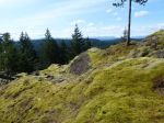
The weather forecast for this trip had been “60% rain” for a long time, so we had a back-up plan in place for an alternate destination. On the day of the trip, we awoke to rain. But by the time we arrived at the meeting place, the rain had stopped and it looked like it would be a nice day. So, back to Plan A. Seven of us went up the North Chinese Mountain trail to the flagged route up the ridge parallel and to the northeast of the Beech’s Mountain ridge. We followed Beaver Lake logging road for a while and then the flagged route to Noel’s Pizza lookout for lunch. Great views from there even though the mountains were in cloud. After lunch we went up the ridge to the upper cairn (475 m), descended to the saddle and took a short-cut to the flagged route to Beech’s Mountain. We enjoyed the views from the top, then down the maintained trail to the parking lot. 8.0 km; 5 hours. The moss is already dry, but the wild flowers were superb: columbine, wild bleeding heart, monkey flower, blue-eyed Mary, chocolate lily, coral root orchid, death camas, wild rose, yellow violets, penstemons, and many more.
-
-
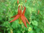
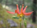
Wild Columbine
-

-
-
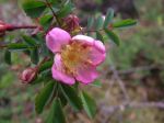
Wild Rose
-
-
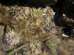
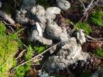
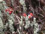
British Soldier Lichen
-

-
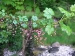
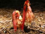
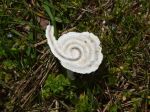
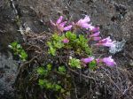
Wild Bleeding Heart
-

-
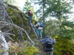
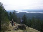
Arriving at Nole’s Pizza Peak
-
-

-
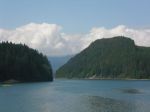
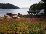
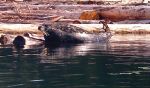
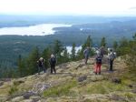
View toward Rebecca Spit
-
-
-
-
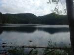
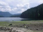
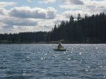
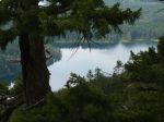
Morte Lake
-

-
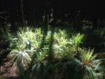
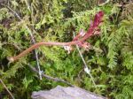
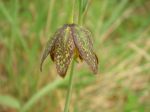
Coral Root Orchid
-

-
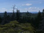
Beech’s Mountain
-
-
Chocolate Lily
-

-
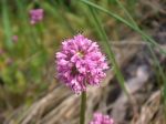
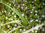
Blue-eyed Mary
-
-
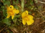
Monkey flower
-
-
Penstemon
-
-
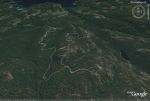
the route
(click on photos to view larger)
Hiking – Nole’s Pizza Peak – 13 May 2015