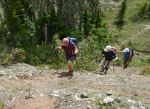
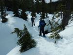
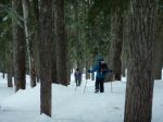
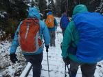
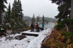
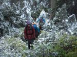
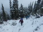
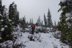
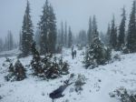
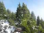
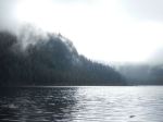
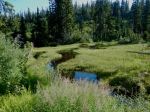
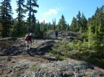
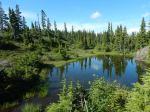
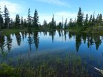
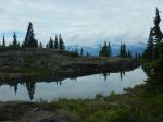
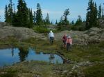
Five of us hiked to the top of Mt. Drabble (1,363 m). We caught an early ferry and drove to the turn off near Ramparts Hill chain-up area on the way to Mt. Washington. That gives access to the Murex Main logging road (no signs) which was in good condition. We met a wide-track excavator working on the road and ditches, who kindly moved to the side to let us by. We parked where the road starts to get really steep and eroded. Theoretically you could drive 1.9 km further (and 210 m elevation gain) to the trailhead, but we walked. The trail is well established, with flagging, reflectors and cairns. It ascends the rocky, sub-alpine ridge and passes a number of ponds. Lovely to look at, but not appealing for swimming.
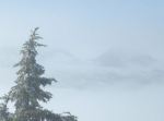
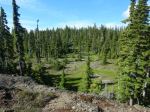
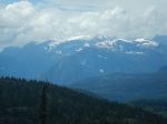
The views of the Strathcona Park mountains were great. There are also views back over Georgia Strait/Salish Sea; we could make out Quadra in the haze. We reached the summit by 11:00 and stopped for lunch. Brent set up his radio and antenna and made a contact. It’s a very enjoyable hike over this long, undulating ridge. The hardest part was walking down the steep logging road with loose gravel. Altogether it was 11.7 km, 5½ hours, 450 m elevation gain (from bottom to top), but more overall with the undulations.
Norris
(click on photos to enlarge)
-
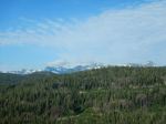
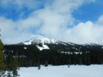
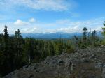
- View toward Strathcona Park mountains
-
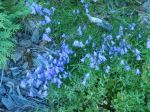
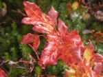
- Blue bells

-
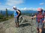
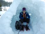
- At the summit
-
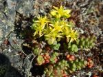
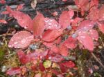
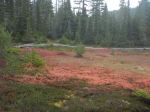
- Stone crop
-
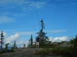
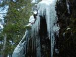
- Erecting the antenna
-
- Comox Glacier
-
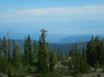
- View toward the mainland
-
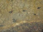
- Tadpoles
-
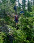
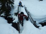
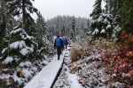
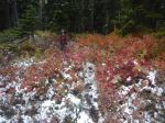
- A few steep parts