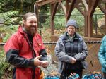
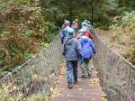
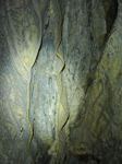
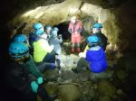
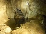
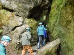
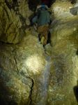
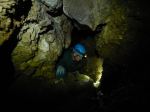
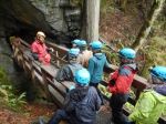
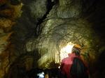
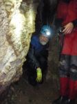
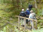
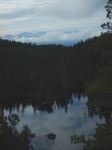
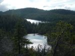
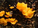
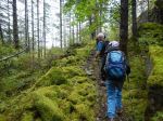
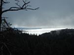
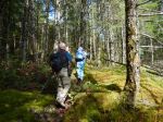
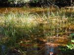
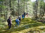
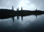
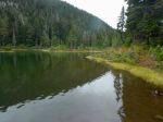
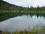
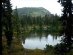
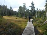
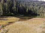
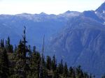
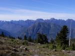
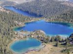
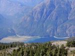
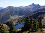
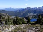
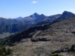
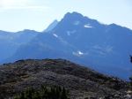
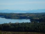
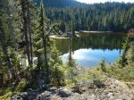
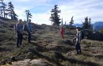
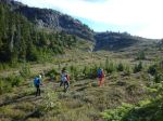
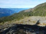
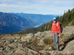
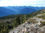
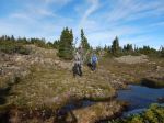
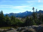
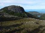
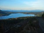
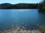
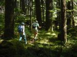
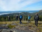
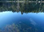
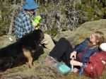
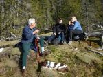
Our group of nine hikers and two dogs had a beautiful fall day for this varied loop. We started at the bridge across the creek and climbed up Marlow’s logging road. We followed a flagged route over to the North Gowlland trail and made a side trip to Rousseau Ridge. We enjoyed great views of Discovery Passage, Vancouver Island and parts of Quadra. We carried on northwest along North Gowlland trail, crossing the foot bridge back over the creek and continuing up the Copperhead logging road to the mountain bike trail, Little Black Dress. We passed by the shallow trenches that were an open-pit copper mine and a small woodland lake before we climbed up a rise and had lunch in the sun on a mossy bluff. After lunch we meandered along the Little Black Dress trail, undulating through open forest. Four of our group had early deadlines, so they parted from us just before the Cash Only trail and headed down a logging road to return to their vehicle.
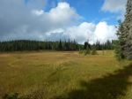
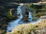
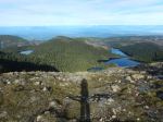
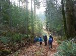
The rest of us followed the Cash Only trail down to the North Gowlland Road and crossed to the mountain bike trail behind the wetland, Lady Lumps. There were a few trees down on the trail, but it was a lovely walk back to the bridge. This mix of trails makes a great loop with lovely forest and lots of variety. 9.3 km; 3¾ hours.
Debbie
(click on photos to enlarge)
-
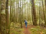
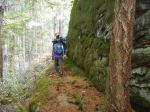
- Along Marlow’s Road
-
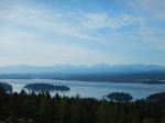
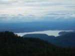
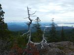
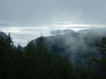
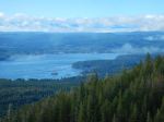
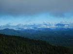
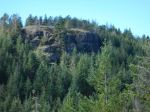
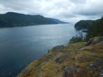
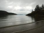
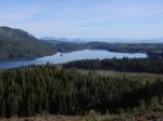
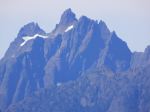
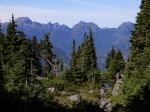
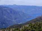
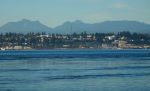
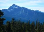
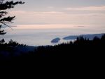
- Discovery Passage and Vancouver Island
-
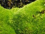
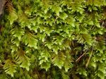
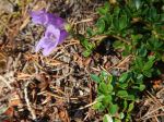
- Moss
-
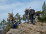
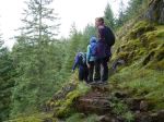
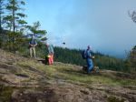
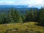
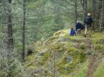
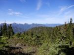
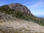
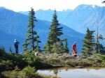
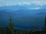
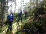
- Leaving Rousseau Ridge
-
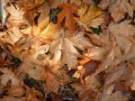
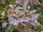
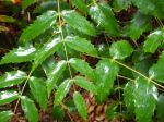
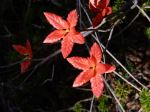
- Big-Leaf Maple leaves
-

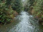
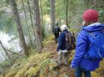
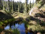
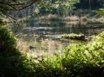
- The creek
-
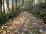
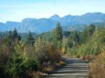
- Copperhead Road

-
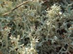
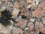
- Reindeer Lichen (?)
-
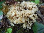
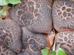
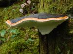
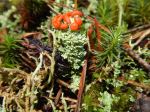
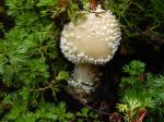
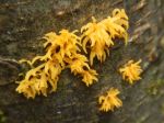
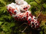
- Cauliflower mushroom
-
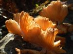
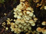
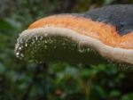
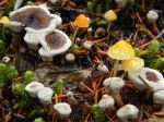
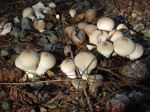
- Old Oyster mushroom