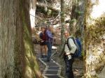
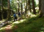
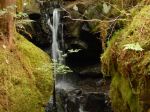
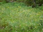
We had not done this hike before, so it was all new to us. We hiked up the trail to Arnica Lake from the trailhead at the Nystar Mine. The trail is probably the best constructed trail in Strathcona Park, with an excellent grade (100 m per km) up a very steep slope through a beautiful open understory forest, and many, many switchbacks. We barely noticed the solar eclipse in the forest. There are some lovely old growth trees and some waterfalls along the way. It was a hot day and the total elevation gain to the campsite is 850 metres, so it is a bit of work. (9 km; 5 hours) The Lake and the surrounding meadows are fabulous, although most of the wildflowers were past their prime. The parking lot had about 25 cars in it and there were lots of people on the trail, but we were the only ones in the campground the first night. Just after 7:00 pm, as it got very quiet, a helicopter landed on the lake shore and a SAR guy emerged to ask us if we had seen a lone hiker, reported overdue. We said that he had hiked through about an hour before, so hopefully that turned out well. The stars overnight were fabulous.
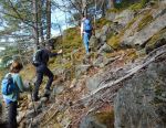
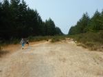
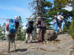
The next day dawned sunny, but summer clouds came in by noon. We had planned to hike to Mt. Phillips and expected to find a faint path leading to a cairned route. Even with a GPS track, it was obviously going to be a bushwhack and there was a black bear sitting where we wanted to go. So we opted for Plan B, which was to go up the other Phillips Ridge route which heads toward the Golden Hinde. This is an incredibly popular destination this summer and has lots of hikers. The route winds up through forest and meadow until it emerges on the rocky alpine ridge with great views in all directions. There are many lovely lakes along the way. Progress is a bit slow with some steep, loose gravel sections. Further on there are significant descents to multiple lakes as one nears the Golden Hinde. We went up along Phillips Ridge to 1600 metres before turning around and returning to camp at Arnica Lake. (14.8 km; 8 hours).
It rained quite hard at 8:00 the next morning, and we had breakfast and broke camp in light rain. We hiked back down the hill in increasingly sunny conditions. (8.9 km; 3 ¾) This is a beautiful area and would be worth an extended trip.
Debbie
(click on photos to view larger)
-
-
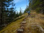
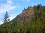
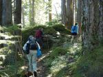
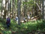
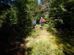
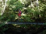
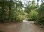
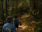
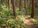
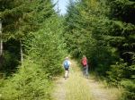
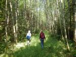
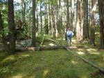
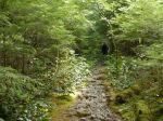
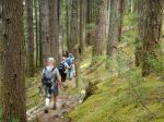
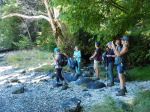
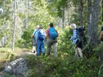
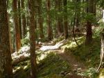
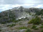
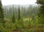
Trail to Arnica Lake
-
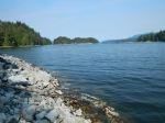
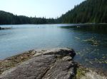
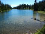
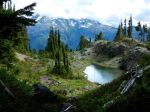
-
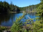
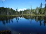
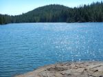
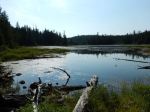
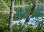
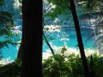
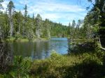
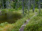
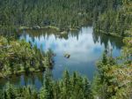
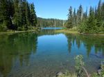
Arnica Lake
-

-
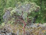
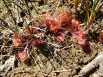
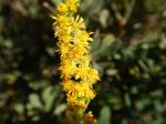
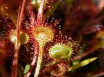
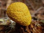
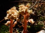
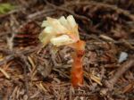
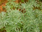
Arnica
-
-
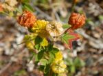
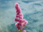
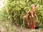
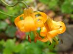
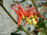
Red Columbine
-
-
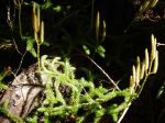
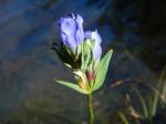
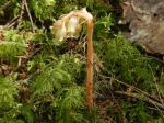
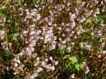
Sickletop Lousewort
-
-
-
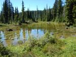
Arnica Lake
-
-
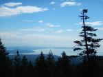
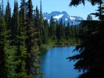
Mt Septimus & Rosseau from our campsite
-
-
-
Mt. Myra
-

-
Mt. Septimus, Rosseau & Misthorns
-
-
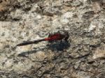
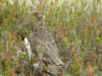
Grouse
-
-
-
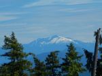
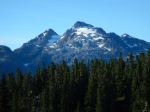
Mt. Thelwood
-

-
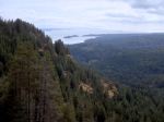
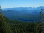
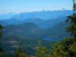
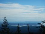
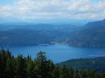
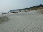
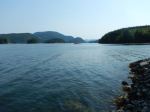
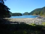
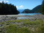
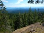
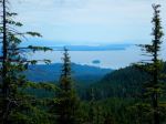
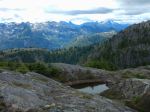
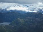
Tennant Lake and beyond
-
-
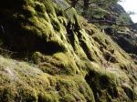
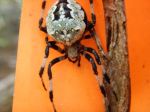
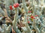
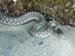
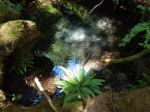
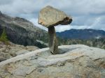
Rock art
-
-
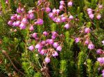
Pink mountain-heather
-
-
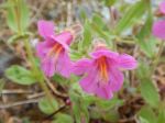
Lewis’ monkeyflower
-
-
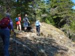
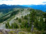
Looking southeast along Philips Ridge
-
-
-
Looking northwest along Phillips Ridge
-
-
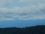
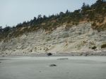
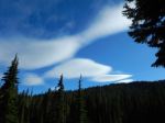
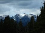
Low cloud by Mt Tom Taylor
-
-
-
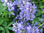
Lupine
-
-
-
Rain on lupine
Backpacking – Arnica Lake and Phillips Ridge – 21-4 Aug 2017