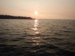
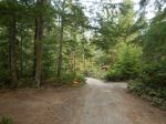
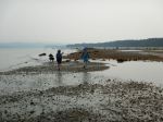
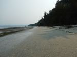
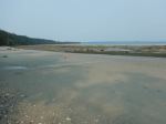
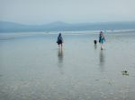
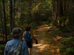
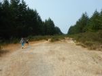
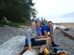
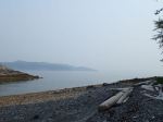
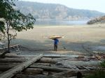
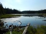
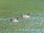
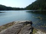
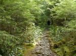
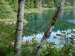
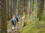
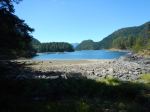
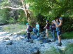
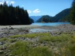
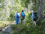
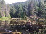
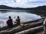
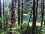
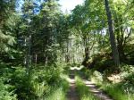
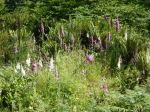
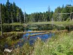
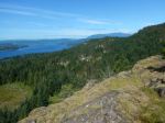
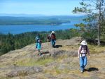
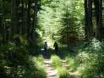
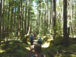
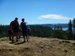
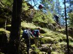
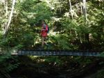
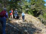
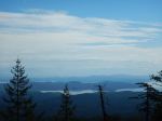
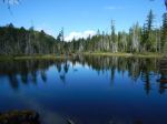
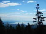
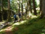
The five of us and a dog enjoyed all the lakes and lookouts along the Nugedzi trails. We stopped at two viewpoints off the steep section on the old road, with views to the northeast which were somewhat hazy with smoke. We then continued on to the Lily Pond and the viewpoint looking southeast. We hiked through the ancient forest arriving at Nugedzi Lake in time for lunch and a refreshing swim. Continuing on, we stopped at the viewpoints over Discovery Passage and then retraced our steps, making the loop to Little Nugedzi on the return. Everyone enjoyed the hike and returned pleasantly tired, especially Joe, the dog. 11.5 km; 5½ hours.
Debbie and Julie
(click on photos to view larger)
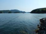
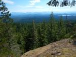
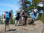
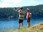
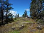
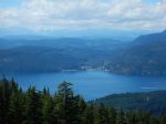
-
- Looking northeast
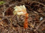
-

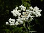
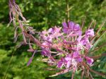
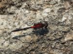
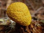
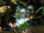
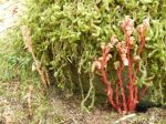
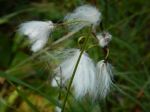
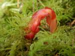
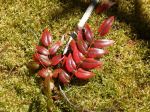
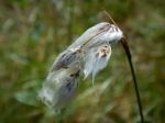
- Sundew
-
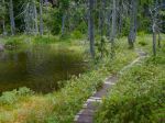
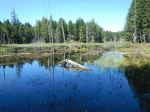
- the Lily Pond
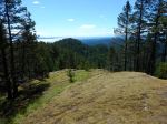
-
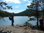
- Looking southeast
-
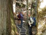
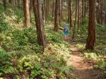
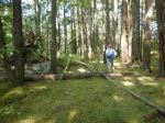
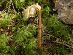
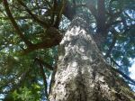
- in the Ancient Forest
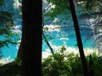
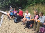
-
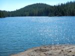
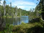
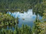
- Nugedzi Lake
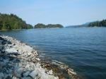
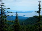
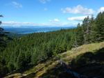
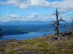
-
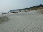
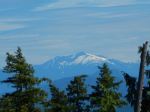
- Looking west to Vancouver Island
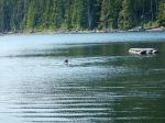
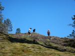
-
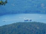
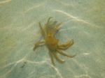
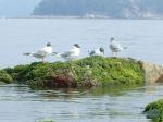
- Busy in Discovery Passage
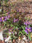
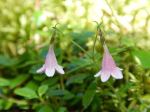
-
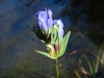
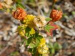
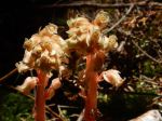
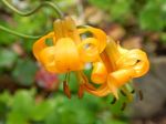
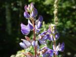
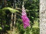
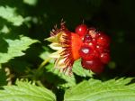
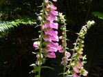
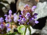
- Gentian